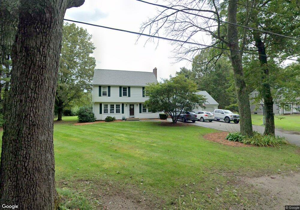
207 Beach St Wrentham, MA 02093
Estimated Value: $627,000 - $747,000
4
Beds
2
Baths
1,768
Sq Ft
$395/Sq Ft
Est. Value
About This Home
This home is located at 207 Beach St, Wrentham, MA 02093 and is currently estimated at $697,621, approximately $394 per square foot. 207 Beach St is a home located in Norfolk County with nearby schools including Delaney Elementary School, Charles E Roderick, and Discovery Daycare Center.
Ownership History
Date
Name
Owned For
Owner Type
Purchase Details
Closed on
Jul 26, 2002
Sold by
Balzarini Paul J and Balzarini Lucille C
Bought by
Mcgann Stephen M
Current Estimated Value
Home Financials for this Owner
Home Financials are based on the most recent Mortgage that was taken out on this home.
Original Mortgage
$296,000
Outstanding Balance
$126,863
Interest Rate
6.73%
Mortgage Type
Purchase Money Mortgage
Estimated Equity
$570,758
Create a Home Valuation Report for This Property
The Home Valuation Report is an in-depth analysis detailing your home's value as well as a comparison with similar homes in the area
Purchase History
| Date | Buyer | Sale Price | Title Company |
|---|---|---|---|
| Mcgann Stephen M | $731,250 | -- |
Source: Public Records
Mortgage History
| Date | Status | Borrower | Loan Amount |
|---|---|---|---|
| Open | Mcgann Stephen M | $296,000 |
Source: Public Records
Tax History
| Year | Tax Paid | Tax Assessment Tax Assessment Total Assessment is a certain percentage of the fair market value that is determined by local assessors to be the total taxable value of land and additions on the property. | Land | Improvement |
|---|---|---|---|---|
| 2025 | $6,514 | $562,000 | $262,900 | $299,100 |
| 2024 | $6,288 | $524,000 | $262,900 | $261,100 |
| 2023 | $5,894 | $467,000 | $238,900 | $228,100 |
| 2022 | $5,803 | $424,500 | $232,300 | $192,200 |
| 2021 | $5,542 | $393,900 | $217,100 | $176,800 |
| 2020 | $5,116 | $359,000 | $165,700 | $193,300 |
| 2019 | $5,179 | $366,800 | $182,300 | $184,500 |
| 2018 | $5,457 | $383,200 | $182,400 | $200,800 |
| 2017 | $5,332 | $374,200 | $178,900 | $195,300 |
| 2016 | $5,216 | $365,300 | $173,700 | $191,600 |
| 2015 | $5,156 | $344,200 | $167,000 | $177,200 |
| 2014 | $5,069 | $331,100 | $160,600 | $170,500 |
Source: Public Records
Map
Nearby Homes
- 10 Earle Stewart Ln Unit Lot 5
- 3 Earle Stewart Ln
- 12 Earle Stewart Ln
- 2 Earle Stewart Ln
- 135 Creek St Unit 2
- 10 Nature View Dr
- 15 Nature View Dr
- 1222 South St
- 282 Thurston St
- 440 South St
- 483 Thurston St
- 500 Franklin St
- 160 Washington St Unit 22
- 0 Berry St
- 158 Washington St
- 126 Washington St
- 130 Washington St
- 124 Washington St
- 18 Huntington Ave
- 613 West St
Your Personal Tour Guide
Ask me questions while you tour the home.