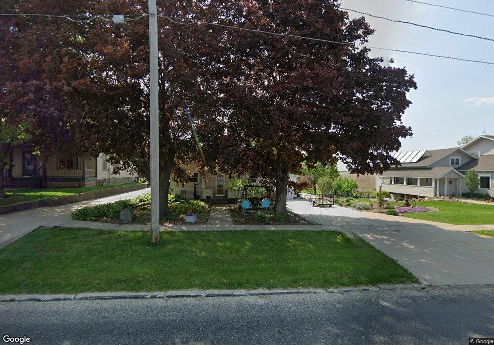
207 Becker Ave Ossian, IA 52161
Estimated Value: $171,000 - $186,000
2
Beds
1
Bath
1,176
Sq Ft
$152/Sq Ft
Est. Value
About This Home
This home is located at 207 Becker Ave, Ossian, IA 52161 and is currently estimated at $179,061, approximately $152 per square foot. 207 Becker Ave is a home with nearby schools including South Winneshiek Elementary School, South Winneshiek Middle School, and South Winneshiek High School.
Ownership History
Date
Name
Owned For
Owner Type
Purchase Details
Closed on
Jan 27, 2022
Sold by
Helgeson Roxanne M
Bought by
Helgeson Joseph E
Current Estimated Value
Create a Home Valuation Report for This Property
The Home Valuation Report is an in-depth analysis detailing your home's value as well as a comparison with similar homes in the area
Purchase History
| Date | Buyer | Sale Price | Title Company |
|---|---|---|---|
| Helgeson Joseph E | -- | None Listed On Document |
Source: Public Records
Tax History
| Year | Tax Paid | Tax Assessment Tax Assessment Total Assessment is a certain percentage of the fair market value that is determined by local assessors to be the total taxable value of land and additions on the property. | Land | Improvement |
|---|---|---|---|---|
| 2025 | $2,456 | $170,760 | $18,810 | $151,950 |
| 2024 | $2,456 | $149,820 | $18,810 | $131,010 |
| 2023 | $2,328 | $149,820 | $18,810 | $131,010 |
| 2022 | $2,102 | $130,980 | $15,680 | $115,300 |
| 2021 | $2,014 | $122,270 | $15,680 | $106,590 |
| 2020 | $2,014 | $113,740 | $15,680 | $98,060 |
| 2019 | $2,012 | $113,740 | $0 | $0 |
| 2018 | $1,954 | $113,740 | $0 | $0 |
| 2017 | $1,806 | $102,780 | $0 | $0 |
| 2016 | $1,740 | $102,780 | $0 | $0 |
| 2015 | $1,682 | $98,180 | $0 | $0 |
| 2014 | $1,634 | $98,180 | $0 | $0 |
Source: Public Records
Map
Nearby Homes
- 211 Fisher Ave
- 209 Jessie St
- 421 E Main St
- 1623 W42
- 0 Lake Ridge Rd
- 112 Merrill Rd
- 203 N Iowa St
- 206 E Clark St
- 401 S Maryville St
- 204 Railroad St
- 302 S West St
- 407 W North St
- 2584 Wild Rose Rd
- 1129 164th St
- 2361 Allan Drive Rd
- 350 Pole Line Rd
- 1004 Shagbark Rd
- 0 Shagbark Lane Rd
- 2354 Shagbark Lane Rd
- 0 Shagbark Ln Rd Unit NBR20250458
Your Personal Tour Guide
Ask me questions while you tour the home.