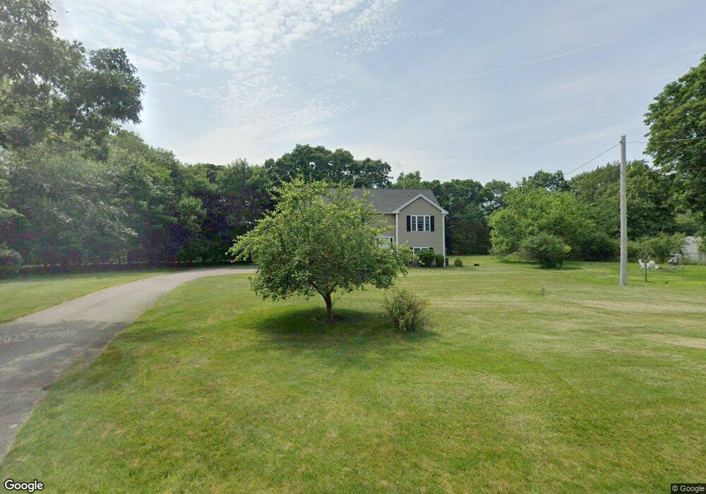
207 Branch St Mansfield, MA 02048
Estimated Value: $607,000 - $730,000
3
Beds
2
Baths
1,196
Sq Ft
$567/Sq Ft
Est. Value
About This Home
This home is located at 207 Branch St, Mansfield, MA 02048 and is currently estimated at $678,226, approximately $567 per square foot. 207 Branch St is a home located in Bristol County with nearby schools including Everett W. Robinson Elementary School, Jordan/Jackson Elementary School, and Harold L. Qualters Middle School.
Ownership History
Date
Name
Owned For
Owner Type
Purchase Details
Closed on
Feb 25, 2010
Sold by
Christian & Feck Dev C
Bought by
Sewcyk Peter A
Current Estimated Value
Home Financials for this Owner
Home Financials are based on the most recent Mortgage that was taken out on this home.
Original Mortgage
$351,024
Outstanding Balance
$235,768
Interest Rate
5.25%
Mortgage Type
FHA
Estimated Equity
$442,458
Create a Home Valuation Report for This Property
The Home Valuation Report is an in-depth analysis detailing your home's value as well as a comparison with similar homes in the area
Home Values in the Area
Average Home Value in this Area
Purchase History
| Date | Buyer | Sale Price | Title Company |
|---|---|---|---|
| Sewcyk Peter A | $357,500 | -- |
Source: Public Records
Mortgage History
| Date | Status | Borrower | Loan Amount |
|---|---|---|---|
| Open | Sewcyk Peter A | $351,024 |
Source: Public Records
Tax History
| Year | Tax Paid | Tax Assessment Tax Assessment Total Assessment is a certain percentage of the fair market value that is determined by local assessors to be the total taxable value of land and additions on the property. | Land | Improvement |
|---|---|---|---|---|
| 2025 | $7,890 | $599,100 | $249,100 | $350,000 |
| 2024 | $7,521 | $557,100 | $249,100 | $308,000 |
| 2023 | $7,285 | $517,000 | $249,100 | $267,900 |
| 2022 | $7,045 | $464,400 | $230,600 | $233,800 |
| 2021 | $4,912 | $445,300 | $201,800 | $243,500 |
| 2020 | $4,868 | $442,200 | $192,200 | $250,000 |
| 2019 | $6,360 | $417,900 | $160,100 | $257,800 |
| 2018 | $6,079 | $390,400 | $152,700 | $237,700 |
| 2017 | $5,867 | $390,600 | $148,400 | $242,200 |
| 2016 | $5,840 | $379,000 | $141,200 | $237,800 |
| 2015 | $5,351 | $345,200 | $141,200 | $204,000 |
Source: Public Records
Map
Nearby Homes
- 97 East St
- 7 Fieldstone Dr
- 1 Deer Path Ln
- 2 N Main St Unit B201
- 46 Hope St
- 28 Court St
- 122 Samoset Ave
- 107 Church St
- 14 Windchime Dr
- 22 Pleasant St Unit B
- 25 Kingman Ave
- 631 East St Unit L101
- 166 Chauncy St
- 28 Angell St
- 7 Liberty St
- 619 N Main St
- 19 Barberry Rd
- 212 Mill St
- 16 Holly Rd
- 4 Erick Rd Unit 90
Your Personal Tour Guide
Ask me questions while you tour the home.