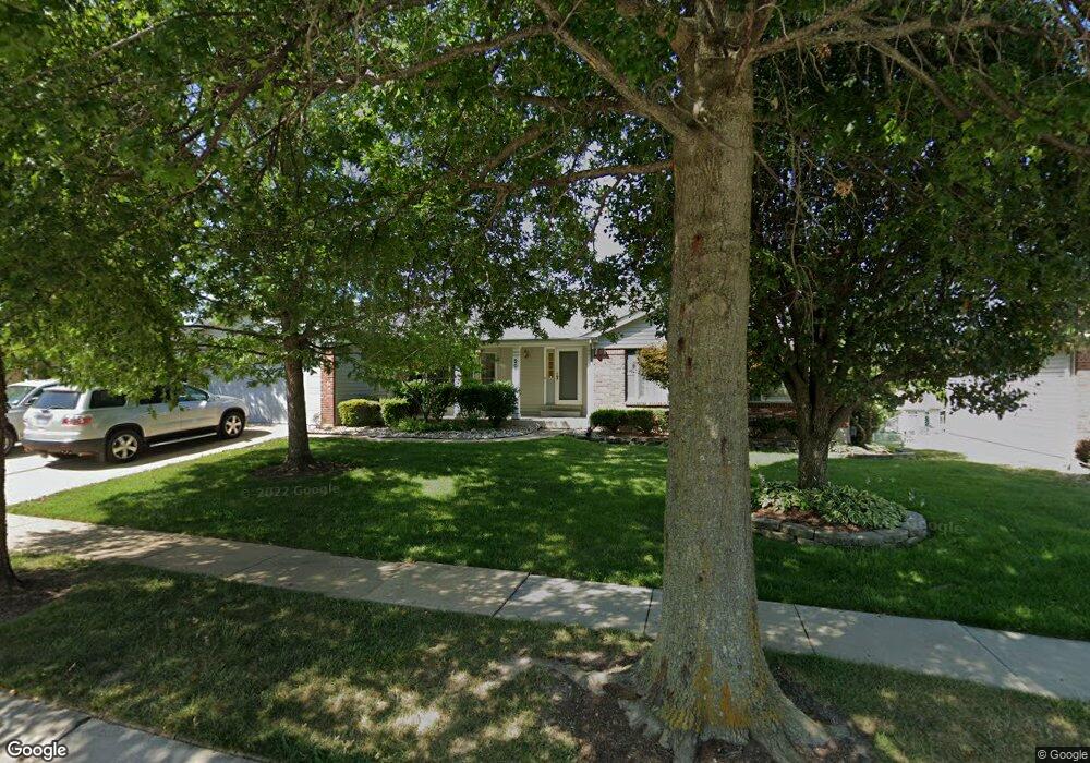
207 Brougham Dr O Fallon, MO 63368
Estimated Value: $349,000 - $389,000
3
Beds
2
Baths
1,685
Sq Ft
$220/Sq Ft
Est. Value
About This Home
This home is located at 207 Brougham Dr, O Fallon, MO 63368 and is currently estimated at $370,113, approximately $219 per square foot. 207 Brougham Dr is a home located in St. Charles County with nearby schools including John Weldon Elementary School, Francis Howell Middle School, and Francis Howell Union High School.
Ownership History
Date
Name
Owned For
Owner Type
Purchase Details
Closed on
Apr 14, 2005
Sold by
Giedinghagen Deborah J
Bought by
Kleffner Kenneth and Kleffner Betty J
Current Estimated Value
Home Financials for this Owner
Home Financials are based on the most recent Mortgage that was taken out on this home.
Original Mortgage
$42,500
Interest Rate
5.89%
Mortgage Type
Fannie Mae Freddie Mac
Purchase Details
Closed on
Aug 27, 2001
Sold by
Giedinghagen Deborah J
Bought by
Giedinghagen Jamie E and Johnson Julie L
Create a Home Valuation Report for This Property
The Home Valuation Report is an in-depth analysis detailing your home's value as well as a comparison with similar homes in the area
Home Values in the Area
Average Home Value in this Area
Purchase History
| Date | Buyer | Sale Price | Title Company |
|---|---|---|---|
| Kleffner Kenneth | $192,500 | Ust | |
| Giedinghagen Jamie E | -- | -- |
Source: Public Records
Mortgage History
| Date | Status | Borrower | Loan Amount |
|---|---|---|---|
| Closed | Kleffner Kenneth | $42,500 |
Source: Public Records
Tax History
| Year | Tax Paid | Tax Assessment Tax Assessment Total Assessment is a certain percentage of the fair market value that is determined by local assessors to be the total taxable value of land and additions on the property. | Land | Improvement |
|---|---|---|---|---|
| 2025 | $3,782 | $65,920 | -- | -- |
| 2023 | $3,784 | $60,166 | $0 | $0 |
| 2022 | $2,999 | $44,199 | $0 | $0 |
| 2021 | $3,006 | $44,199 | $0 | $0 |
| 2020 | $3,046 | $43,051 | $0 | $0 |
| 2019 | $3,054 | $43,051 | $0 | $0 |
| 2018 | $2,894 | $38,855 | $0 | $0 |
| 2017 | $2,869 | $38,855 | $0 | $0 |
| 2016 | $2,663 | $34,870 | $0 | $0 |
| 2015 | $2,623 | $34,870 | $0 | $0 |
| 2014 | $2,285 | $30,892 | $0 | $0 |
Source: Public Records
Map
Nearby Homes
- 106 Rockaway Dr
- 47 Landyn Ct
- 57 Burgundy Place Dr
- 102 Riparian Dr
- 101 Haven Ridge Ct Unit LOT 47
- 1600 Valley Hill Ct
- 7412 Cinnamon Teal Dr
- 7053 Black Horse Dr
- 7554 Cinnamon Teal Dr
- 517 Copper Meadows Ln
- 8003 Knights Crossing Dr
- 2916 Spring Blossom Dr
- 201 Keaton Woods Dr
- 9 Dragonstone Ct
- 2756 Dunvegan Dr
- 202 Keaton Woods Dr
- 7 Dragonstone Ct
- 2858 Dardenne Links Dr
- 5 Dragonstone Ct
- 3 Dragonstone Ct
- 211 Brougham Dr
- 203 Brougham Dr
- 318 Carriage Trail Ct
- 322 Carriage Trail Ct
- 215 Brougham Dr
- 212 Brougham Dr
- 102 Rockaway Dr
- 314 Carriage Trail Ct
- 326 Carriage Trail Ct
- 216 Brougham Dr
- 219 Brougham Dr
- 330 Carriage Trail Ct
- 109 Rockaway Dr
- 310 Carriage Trail Ct
- 220 Brougham Dr
- 223 Brougham Dr
- 323 Carriage Trail Ct
- 110 Rockaway Dr
- 313 Carriage Trail Ct
- 334 Carriage Trail Ct
Your Personal Tour Guide
Ask me questions while you tour the home.