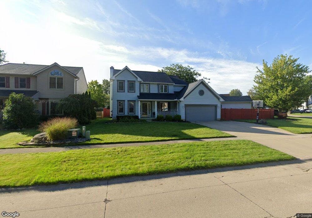
207 Carol Ln Elyria, OH 44035
Estimated Value: $301,000 - $362,000
4
Beds
3
Baths
2,169
Sq Ft
$151/Sq Ft
Est. Value
About This Home
This home is located at 207 Carol Ln, Elyria, OH 44035 and is currently estimated at $327,650, approximately $151 per square foot. 207 Carol Ln is a home located in Lorain County with nearby schools including Eastern Heights Middle School, Elyria High School, and Constellation Schools: Elyria Community Elementary.
Ownership History
Date
Name
Owned For
Owner Type
Purchase Details
Closed on
Jul 19, 2002
Sold by
Bruce Jourabchian
Bought by
Brown Sharon D
Current Estimated Value
Home Financials for this Owner
Home Financials are based on the most recent Mortgage that was taken out on this home.
Original Mortgage
$190,000
Interest Rate
6.8%
Purchase Details
Closed on
Aug 4, 1997
Sold by
Saylor Joseph A
Bought by
Jourabchian Bruce
Home Financials for this Owner
Home Financials are based on the most recent Mortgage that was taken out on this home.
Original Mortgage
$135,000
Interest Rate
6.88%
Mortgage Type
New Conventional
Create a Home Valuation Report for This Property
The Home Valuation Report is an in-depth analysis detailing your home's value as well as a comparison with similar homes in the area
Home Values in the Area
Average Home Value in this Area
Purchase History
| Date | Buyer | Sale Price | Title Company |
|---|---|---|---|
| Brown Sharon D | $190,000 | Midland Title | |
| Jourabchian Bruce | $175,000 | -- |
Source: Public Records
Mortgage History
| Date | Status | Borrower | Loan Amount |
|---|---|---|---|
| Previous Owner | Brown Sharon D | $190,000 | |
| Previous Owner | Jourabchian Bruce | $135,000 |
Source: Public Records
Tax History
| Year | Tax Paid | Tax Assessment Tax Assessment Total Assessment is a certain percentage of the fair market value that is determined by local assessors to be the total taxable value of land and additions on the property. | Land | Improvement |
|---|---|---|---|---|
| 2024 | $3,984 | $84,158 | $16,800 | $67,358 |
| 2023 | $3,780 | $69,342 | $16,671 | $52,672 |
| 2022 | $3,766 | $69,342 | $16,671 | $52,672 |
| 2021 | $3,775 | $69,342 | $16,671 | $52,672 |
| 2020 | $3,610 | $58,970 | $14,180 | $44,790 |
| 2019 | $3,587 | $58,970 | $14,180 | $44,790 |
| 2018 | $3,594 | $58,970 | $14,180 | $44,790 |
| 2017 | $3,796 | $59,700 | $14,960 | $44,740 |
| 2016 | $3,746 | $59,700 | $14,960 | $44,740 |
| 2015 | $3,508 | $59,700 | $14,960 | $44,740 |
| 2014 | $3,649 | $62,850 | $15,750 | $47,100 |
| 2013 | $3,614 | $62,850 | $15,750 | $47,100 |
Source: Public Records
Map
Nearby Homes
- 310 Carol Ln
- 124 Oakley Green Dr
- 219 Bridgeport Dr Unit 35
- 121 Oakley Green Dr Unit 13
- 418 Carol Ln
- 9929 E River Rd
- 475 Carol Ln
- 459 Auburn St
- 133 Gleneagle Dr Unit 47
- 246 Syracuse Ct
- 239 Syracuse Ct
- 217 Syracuse Ct
- 337 University Ave
- 234 Oakwood St
- 1394 East Ave
- 247 Georgia Ave
- 523 Purdue Ave
- 1210 Prospect St
- 39046 E River Rd
- 560 Case Ave
Your Personal Tour Guide
Ask me questions while you tour the home.