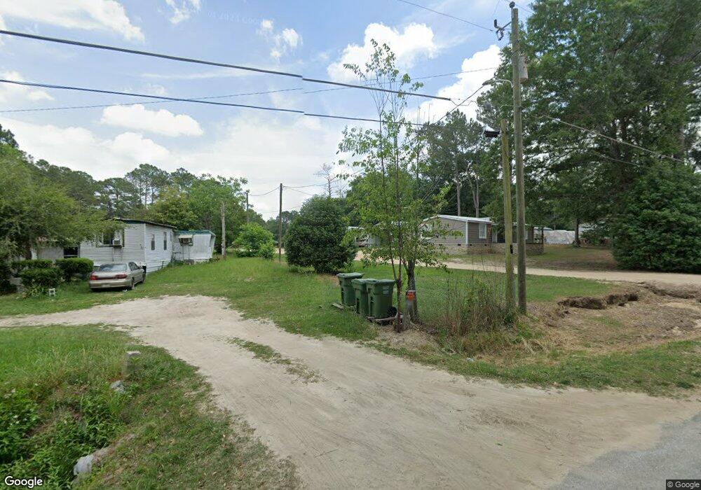
207 Cedar St Moultrie, GA 31788
Estimated Value: $59,105 - $124,000
3
Beds
2
Baths
1,248
Sq Ft
$81/Sq Ft
Est. Value
About This Home
This home is located at 207 Cedar St, Moultrie, GA 31788 and is currently estimated at $100,776, approximately $80 per square foot. 207 Cedar St is a home with nearby schools including Odom Elementary School, Willie J. Williams Middle School, and C.A. Gray Junior High School.
Ownership History
Date
Name
Owned For
Owner Type
Purchase Details
Closed on
May 17, 2018
Sold by
Pate Roy
Bought by
Moore Payton
Current Estimated Value
Purchase Details
Closed on
Nov 28, 2016
Sold by
Doris Maria Sandoval
Bought by
Moreno Javier and Moreno Yesmin
Home Financials for this Owner
Home Financials are based on the most recent Mortgage that was taken out on this home.
Original Mortgage
$40,000
Interest Rate
4.03%
Purchase Details
Closed on
Feb 12, 2015
Sold by
Moore Donna P
Bought by
Moore Payton
Purchase Details
Closed on
Mar 18, 1976
Sold by
Taylor Jackie
Bought by
Moore Donna
Create a Home Valuation Report for This Property
The Home Valuation Report is an in-depth analysis detailing your home's value as well as a comparison with similar homes in the area
Purchase History
| Date | Buyer | Sale Price | Title Company |
|---|---|---|---|
| Moore Payton | -- | -- | |
| Moreno Javier | -- | -- | |
| Moore Payton | -- | -- | |
| Moore Donna | $3,500 | -- |
Source: Public Records
Mortgage History
| Date | Status | Borrower | Loan Amount |
|---|---|---|---|
| Previous Owner | Moreno Javier | $40,000 | |
| Previous Owner | Moreno Javier | -- |
Source: Public Records
Tax History
| Year | Tax Paid | Tax Assessment Tax Assessment Total Assessment is a certain percentage of the fair market value that is determined by local assessors to be the total taxable value of land and additions on the property. | Land | Improvement |
|---|---|---|---|---|
| 2025 | $108 | $5,104 | $1,513 | $3,591 |
| 2024 | $107 | $4,726 | $1,135 | $3,591 |
| 2023 | $113 | $4,726 | $1,135 | $3,591 |
| 2022 | $110 | $4,600 | $1,009 | $3,591 |
| 2021 | $83 | $3,400 | $1,009 | $2,391 |
| 2020 | $84 | $3,400 | $1,009 | $2,391 |
| 2019 | $93 | $3,396 | $1,009 | $2,387 |
| 2018 | $236 | $9,215 | $1,009 | $8,206 |
| 2017 | $209 | $9,681 | $1,475 | $8,206 |
| 2016 | -- | $3,862 | $1,475 | $2,387 |
| 2015 | -- | $2,075 | $1,475 | $600 |
| 2014 | $150 | $7,498 | $1,475 | $6,023 |
| 2013 | -- | $0 | $0 | $0 |
Source: Public Records
Map
Nearby Homes
- 0 Sardis Church Rd
- 1321 Sardis Church Rd
- 292 Robin Ln
- 124 Mark Ln
- 0 Belt Ln Unit 914599
- 473 R L Sears Rd
- 111 Belt Ln
- 107 Belt Ln
- 0 Sunbelt Dr Unit 915605
- 2262 Sardis Church Rd
- 150 Friendship Trail
- 151 Upper Trail
- 235 Riggins Rd
- 410 Indian Trail
- 0 Old Timey Trail
- 144 Flint Dr
- 198 Lindale Ave
- 1717 Park Ave SE
- 127 Pineview Ave
- 424 U S Highway 319
Your Personal Tour Guide
Ask me questions while you tour the home.