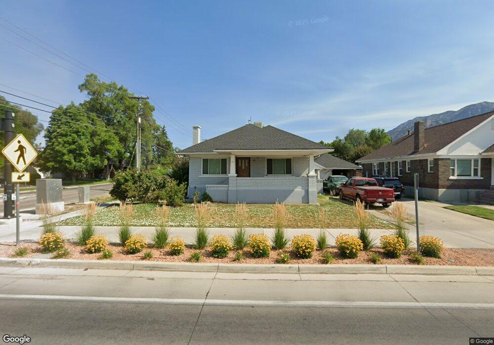
207 E 300 S Provo, UT 84606
Joaquin NeighborhoodEstimated Value: $512,000 - $599,000
5
Beds
2
Baths
2,552
Sq Ft
$213/Sq Ft
Est. Value
About This Home
This home is located at 207 E 300 S, Provo, UT 84606 and is currently estimated at $543,852, approximately $213 per square foot. 207 E 300 S is a home located in Utah County with nearby schools including Provo Peaks School, Centennial Middle School, and Timpview High School.
Ownership History
Date
Name
Owned For
Owner Type
Purchase Details
Closed on
Aug 21, 2013
Sold by
Gale David and Bate Micah
Bought by
Wood Kody and Wood Lindsay
Current Estimated Value
Purchase Details
Closed on
Sep 18, 2007
Sold by
Gale David and L David Gale J
Bought by
Gale David and Bate Micah
Home Financials for this Owner
Home Financials are based on the most recent Mortgage that was taken out on this home.
Original Mortgage
$198,550
Interest Rate
6.61%
Mortgage Type
Purchase Money Mortgage
Purchase Details
Closed on
Sep 14, 2007
Sold by
Limon Jared
Bought by
Gale David
Home Financials for this Owner
Home Financials are based on the most recent Mortgage that was taken out on this home.
Original Mortgage
$198,550
Interest Rate
6.61%
Mortgage Type
Purchase Money Mortgage
Purchase Details
Closed on
Mar 31, 2005
Sold by
Clements Janet C
Bought by
Clements Richard and Clements Janet C
Create a Home Valuation Report for This Property
The Home Valuation Report is an in-depth analysis detailing your home's value as well as a comparison with similar homes in the area
Home Values in the Area
Average Home Value in this Area
Purchase History
| Date | Buyer | Sale Price | Title Company |
|---|---|---|---|
| Wood Kody | -- | Keystone Title Insurance Age | |
| Gale David | -- | Sundance Title Insurance Ag | |
| Gale David | -- | Backman | |
| Clements Richard | -- | Provo Land Title Company |
Source: Public Records
Mortgage History
| Date | Status | Borrower | Loan Amount |
|---|---|---|---|
| Previous Owner | Gale David | $198,550 |
Source: Public Records
Tax History
| Year | Tax Paid | Tax Assessment Tax Assessment Total Assessment is a certain percentage of the fair market value that is determined by local assessors to be the total taxable value of land and additions on the property. | Land | Improvement |
|---|---|---|---|---|
| 2025 | $2,487 | $253,055 | -- | -- |
| 2024 | $2,487 | $244,805 | $0 | $0 |
| 2023 | $2,553 | $247,775 | $0 | $0 |
| 2022 | $2,420 | $236,775 | $0 | $0 |
| 2021 | $1,823 | $311,100 | $110,400 | $200,700 |
| 2020 | $1,758 | $281,200 | $100,400 | $180,800 |
| 2019 | $1,673 | $278,300 | $100,400 | $177,900 |
| 2018 | $1,477 | $249,300 | $94,100 | $155,200 |
| 2017 | $1,400 | $129,800 | $0 | $0 |
| 2016 | $1,238 | $106,975 | $0 | $0 |
| 2015 | $1,181 | $103,180 | $0 | $0 |
| 2014 | $1,086 | $98,890 | $0 | $0 |
Source: Public Records
Map
Nearby Homes
Your Personal Tour Guide
Ask me questions while you tour the home.