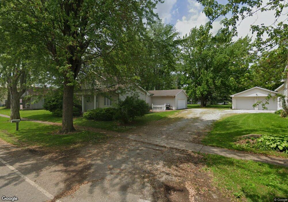
207 E High St Napoleon, OH 43545
Estimated Value: $98,803 - $204,000
3
Beds
2
Baths
1,758
Sq Ft
$94/Sq Ft
Est. Value
About This Home
This home is located at 207 E High St, Napoleon, OH 43545 and is currently estimated at $165,701, approximately $94 per square foot. 207 E High St is a home located in Henry County with nearby schools including Napoleon Elementary School and Napoleon Junior/Senior High School.
Ownership History
Date
Name
Owned For
Owner Type
Purchase Details
Closed on
Jul 21, 2022
Sold by
Rausch Wayne C and Rausch Anne E
Bought by
Rausch Nicholas Ryan
Current Estimated Value
Purchase Details
Closed on
Jun 15, 2015
Sold by
Shepard Cheryl A
Bought by
Rausch Wayne C and Rausch Anne E
Purchase Details
Closed on
Jun 27, 2007
Sold by
Hoffman Craig E and Hoffman Susan K
Bought by
Burke Cheryl A
Home Financials for this Owner
Home Financials are based on the most recent Mortgage that was taken out on this home.
Original Mortgage
$97,375
Interest Rate
6.26%
Mortgage Type
Unknown
Create a Home Valuation Report for This Property
The Home Valuation Report is an in-depth analysis detailing your home's value as well as a comparison with similar homes in the area
Purchase History
| Date | Buyer | Sale Price | Title Company |
|---|---|---|---|
| Rausch Nicholas Ryan | -- | Newton Harmon & Rohrs Ltd | |
| Rausch Wayne C | $43,000 | Attorney | |
| Burke Cheryl A | $102,500 | Attorney |
Source: Public Records
Mortgage History
| Date | Status | Borrower | Loan Amount |
|---|---|---|---|
| Previous Owner | Burke Cheryl A | $97,375 |
Source: Public Records
Tax History
| Year | Tax Paid | Tax Assessment Tax Assessment Total Assessment is a certain percentage of the fair market value that is determined by local assessors to be the total taxable value of land and additions on the property. | Land | Improvement |
|---|---|---|---|---|
| 2024 | $1,962 | $44,760 | $6,010 | $38,750 |
| 2023 | $1,963 | $44,760 | $6,010 | $38,750 |
| 2022 | $2,132 | $84,880 | $6,800 | $78,080 |
| 2021 | $2,129 | $42,440 | $3,400 | $39,040 |
| 2020 | $2,478 | $42,440 | $3,400 | $39,040 |
| 2019 | $2,559 | $37,620 | $3,230 | $34,390 |
| 2018 | $2,585 | $37,620 | $3,230 | $34,390 |
| 2017 | $2,519 | $37,620 | $3,230 | $34,390 |
| 2016 | $2,006 | $36,220 | $3,230 | $32,990 |
| 2015 | $1,925 | $36,220 | $3,230 | $32,990 |
| 2014 | $2,115 | $37,330 | $3,230 | $34,100 |
| 2013 | $2,115 | $37,330 | $3,230 | $34,100 |
Source: Public Records
Map
Nearby Homes
- 104 W High St
- O-083 County Road 17
- H011 County Road 17
- 150 Wayne Park Dr
- 140 Wayne Park Dr
- 8205 Independence Rd
- 907 Huddle Rd
- 0 Westmoreland Ave
- 00 Westmoreland Ave
- 29232 Coressel Rd
- 814 Park St
- 1384 Clairmont Ave
- 538 Huddle Rd
- 1123 Clairmont Ave
- 1113 Clairmont Ave
- Integrity 2280 Plan at Lynnefield Estates
- 1314 Clairmont Ave
- 1324 Clairmont Ave
- 1304 Clairmont Ave
- 1354 Clairmont Ave
Your Personal Tour Guide
Ask me questions while you tour the home.