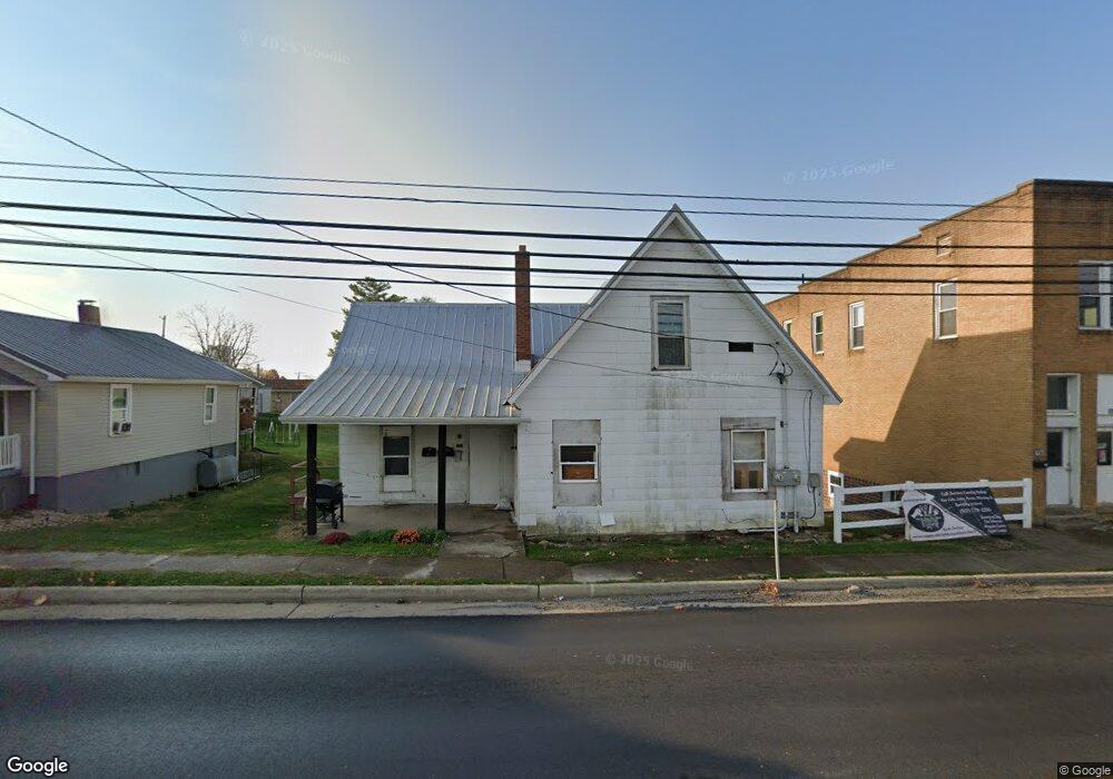
207 E Main St West Union, OH 45693
Estimated Value: $121,000 - $150,000
4
Beds
1
Bath
1,573
Sq Ft
$86/Sq Ft
Est. Value
About This Home
This home is located at 207 E Main St, West Union, OH 45693 and is currently estimated at $135,500, approximately $86 per square foot. 207 E Main St is a home located in Adams County with nearby schools including West Union Elementary School, West Union High School, and Adams County Christian School.
Ownership History
Date
Name
Owned For
Owner Type
Purchase Details
Closed on
Jan 19, 2018
Sold by
H & H Investors
Bought by
Dc6 Holdings Llc
Current Estimated Value
Home Financials for this Owner
Home Financials are based on the most recent Mortgage that was taken out on this home.
Original Mortgage
$25,000
Outstanding Balance
$20,899
Interest Rate
3.94%
Mortgage Type
Future Advance Clause Open End Mortgage
Estimated Equity
$114,601
Purchase Details
Closed on
Sep 1, 1998
Sold by
Murphy Barbara
Bought by
Investors H and Investors H
Purchase Details
Closed on
Oct 9, 1992
Bought by
Murphy Barbara
Create a Home Valuation Report for This Property
The Home Valuation Report is an in-depth analysis detailing your home's value as well as a comparison with similar homes in the area
Home Values in the Area
Average Home Value in this Area
Purchase History
| Date | Buyer | Sale Price | Title Company |
|---|---|---|---|
| Dc6 Holdings Llc | $10,000 | None Available | |
| Investors H | $55,000 | -- | |
| Murphy Barbara | $37,200 | -- |
Source: Public Records
Mortgage History
| Date | Status | Borrower | Loan Amount |
|---|---|---|---|
| Open | Dc6 Holdings Llc | $25,000 |
Source: Public Records
Tax History
| Year | Tax Paid | Tax Assessment Tax Assessment Total Assessment is a certain percentage of the fair market value that is determined by local assessors to be the total taxable value of land and additions on the property. | Land | Improvement |
|---|---|---|---|---|
| 2025 | $499 | $12,680 | $4,800 | $7,880 |
| 2024 | $475 | $12,680 | $4,800 | $7,880 |
| 2023 | $239 | $12,680 | $4,800 | $7,880 |
| 2022 | $437 | $7,250 | $4,130 | $3,120 |
| 2021 | $270 | $7,250 | $4,130 | $3,120 |
| 2020 | $276 | $7,250 | $4,130 | $3,120 |
| 2019 | $276 | $7,250 | $4,130 | $3,120 |
| 2018 | $276 | $6,970 | $4,130 | $2,840 |
| 2017 | $272 | $6,970 | $4,130 | $2,840 |
| 2016 | $272 | $6,970 | $4,130 | $2,840 |
| 2015 | $947 | $5,570 | $4,130 | $1,440 |
| 2014 | $211 | $5,570 | $4,130 | $1,440 |
Source: Public Records
Map
Nearby Homes
- 0.8ac State Route 41
- 12196 State Route 41
- 104 N Washington St
- 305 W Walnut St
- 70 Logans Ln
- 408 W South St
- 430 Poplar St
- 601 E Main St
- 537 1st St
- 286 & 290 S Market St
- 819 E Main St
- 353 Chestnut Ridge Rd
- 9727 Ohio 125
- 917 Logans Ln
- 215 Chesley St
- 216 Kurt St
- 1478 Robinson Hollow Rd
- 4400 Chapparal Rd
- 80 Madonna Dr
- 40 Greenwood Ave
- 1 Acre State Route 41
- 1.026ac State Route 41
- 43acres Ohio 125
- 114 N Pleasant St
- 206 E Main St
- 214 E Main St
- 214 E Main St Unit 218
- 32 N Pleasant St
- 218 E Main St
- 407 Lookout Dr
- 209 N 2nd St
- 108 N Pleasant St
- 109 N Pleasant St
- 105 N 2nd St
- 118 N 2nd St
- 12220 State Route 41
- 11980 State Route 41
- 10875 State Route 41
- 0 Ohio 125 Unit 22877782
- 0 Ohio 125 Unit 1647080
Your Personal Tour Guide
Ask me questions while you tour the home.