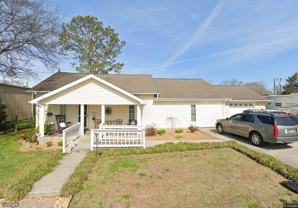
207 E Maple St Englewood, TN 37329
Estimated Value: $158,000 - $204,000
--
Bed
1
Bath
1,472
Sq Ft
$125/Sq Ft
Est. Value
About This Home
This home is located at 207 E Maple St, Englewood, TN 37329 and is currently estimated at $184,078, approximately $125 per square foot. 207 E Maple St is a home located in McMinn County.
Ownership History
Date
Name
Owned For
Owner Type
Purchase Details
Closed on
Apr 4, 2011
Sold by
Bressler Dianne L
Bought by
Whitman Lawrence John and Bennett Renee Marie
Current Estimated Value
Home Financials for this Owner
Home Financials are based on the most recent Mortgage that was taken out on this home.
Original Mortgage
$49,537
Outstanding Balance
$34,101
Interest Rate
4.83%
Mortgage Type
Commercial
Estimated Equity
$149,977
Purchase Details
Closed on
Aug 30, 2007
Bought by
Coppola Kathryn
Purchase Details
Closed on
Mar 16, 2007
Bought by
Federal National Mtg Assoc Ste 1900
Purchase Details
Closed on
Oct 21, 1994
Bought by
Rose Daniel and Rose Marjorie
Create a Home Valuation Report for This Property
The Home Valuation Report is an in-depth analysis detailing your home's value as well as a comparison with similar homes in the area
Home Values in the Area
Average Home Value in this Area
Purchase History
| Date | Buyer | Sale Price | Title Company |
|---|---|---|---|
| Whitman Lawrence John | $48,000 | -- | |
| Coppola Kathryn | $62,000 | -- | |
| Kathryn Coppola | $62,000 | -- | |
| Federal National Mtg Assoc Ste 1900 | $81,600 | -- | |
| Rose Daniel | $38,500 | -- |
Source: Public Records
Mortgage History
| Date | Status | Borrower | Loan Amount |
|---|---|---|---|
| Open | Whitman Lawrence John | $49,537 |
Source: Public Records
Tax History Compared to Growth
Tax History
| Year | Tax Paid | Tax Assessment Tax Assessment Total Assessment is a certain percentage of the fair market value that is determined by local assessors to be the total taxable value of land and additions on the property. | Land | Improvement |
|---|---|---|---|---|
| 2025 | $750 | $39,850 | $0 | $0 |
| 2024 | $750 | $39,850 | $1,250 | $38,600 |
| 2023 | $750 | $39,850 | $1,250 | $38,600 |
| 2022 | $485 | $16,950 | $2,250 | $14,700 |
| 2021 | $485 | $16,950 | $2,250 | $14,700 |
| 2020 | $485 | $16,950 | $2,250 | $14,700 |
| 2019 | $485 | $16,950 | $2,250 | $14,700 |
| 2018 | $485 | $16,950 | $2,250 | $14,700 |
| 2017 | $520 | $17,025 | $975 | $16,050 |
| 2016 | $520 | $17,025 | $975 | $16,050 |
| 2015 | -- | $17,025 | $975 | $16,050 |
| 2014 | $520 | $17,031 | $0 | $0 |
Source: Public Records
Map
Nearby Homes
- 224 Pond St
- 302 N Amhurst Place
- 313 N Amhurst Place
- 309 Englewood Ave
- 0 Boyd St
- 0 Highway 39e Unit 1311542
- 1982 Tennessee 39
- 110 Old Englewood Rd
- 121 N Niota Rd
- 413 Dodson Ave
- 25 Pangle St
- 3242 U S 411
- 118 Sunset Ave
- 111 Sunset Ave
- 302 Locust St
- 520 Chestuee St
- 19 Mckinney St
- 0 S Amhurst Place Unit 1273764
- 504 N Niota Rd
- 963 County Road 415
- 205A E Maple St
- 210 N Amhurst Place
- 211 E Maple St
- 0 Chestnut Hills Unit 691326
- 210 E Maple St
- 206 E Maple St
- 212 E Maple St
- 202 E Maple St
- 202 E Maple St
- 122 N Amhurst Place
- 314 Tellico St
- 216 S Amhurst Place
- 209 N Amhurst Place
- 213 Pond St
- 209 Pond St
- 213 N Amhurst Place
- 215 Pond St
- 207 Pond St
- 318 Tellico St
- 319 Tellico St