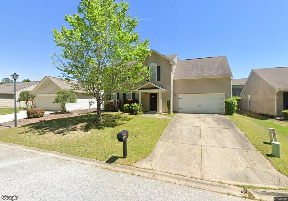
207 Garfield Ln Simpsonville, SC 29681
Estimated Value: $300,592 - $333,000
3
Beds
3
Baths
1,914
Sq Ft
$163/Sq Ft
Est. Value
About This Home
This home is located at 207 Garfield Ln, Simpsonville, SC 29681 and is currently estimated at $312,398, approximately $163 per square foot. 207 Garfield Ln is a home located in Greenville County with nearby schools including Bryson Elementary School, Bryson Middle School, and Hillcrest High School.
Ownership History
Date
Name
Owned For
Owner Type
Purchase Details
Closed on
Apr 28, 2006
Sold by
The Ryland Group Inc
Bought by
Easter Cornelius and Easter Andericka
Current Estimated Value
Home Financials for this Owner
Home Financials are based on the most recent Mortgage that was taken out on this home.
Original Mortgage
$139,806
Outstanding Balance
$80,413
Interest Rate
6.28%
Mortgage Type
FHA
Estimated Equity
$231,985
Create a Home Valuation Report for This Property
The Home Valuation Report is an in-depth analysis detailing your home's value as well as a comparison with similar homes in the area
Home Values in the Area
Average Home Value in this Area
Purchase History
| Date | Buyer | Sale Price | Title Company |
|---|---|---|---|
| Easter Cornelius | $142,000 | None Available |
Source: Public Records
Mortgage History
| Date | Status | Borrower | Loan Amount |
|---|---|---|---|
| Open | Easter Cornelius | $139,806 |
Source: Public Records
Tax History Compared to Growth
Tax History
| Year | Tax Paid | Tax Assessment Tax Assessment Total Assessment is a certain percentage of the fair market value that is determined by local assessors to be the total taxable value of land and additions on the property. | Land | Improvement |
|---|---|---|---|---|
| 2024 | $1,278 | $6,080 | $920 | $5,160 |
| 2023 | $1,278 | $6,080 | $920 | $5,160 |
| 2022 | $1,250 | $6,080 | $920 | $5,160 |
| 2021 | $1,251 | $6,080 | $920 | $5,160 |
| 2020 | $1,175 | $5,290 | $800 | $4,490 |
| 2019 | $1,175 | $5,290 | $800 | $4,490 |
| 2018 | $1,040 | $5,290 | $800 | $4,490 |
| 2017 | $1,040 | $5,290 | $800 | $4,490 |
| 2016 | $991 | $132,210 | $20,000 | $112,210 |
| 2015 | $991 | $132,210 | $20,000 | $112,210 |
| 2014 | $1,010 | $137,330 | $23,000 | $114,330 |
Source: Public Records
Map
Nearby Homes
- 6 Burge Ct
- 6 Ashborne Ln
- 106 Ashborne Ln
- 112 Woodcross Dr
- 14 Corsica Ct
- 167 Strongridge Trail
- 517 Goldsmith Rd
- 1106 Downing Bluff Dr
- 48 Woodcross Dr
- 434 Goldsmith Rd
- 106 Elmhaven Dr
- 139 Strongridge Trail
- 733 Liberty Walk Ln
- 26 Needham Dr
- 404 Encampment Blvd
- 408 Encampment Blvd
- 410 Encampment Blvd
- 2 Woodcross Dr
- 377 Heritage Point Dr
- 157 Heritage Point Dr