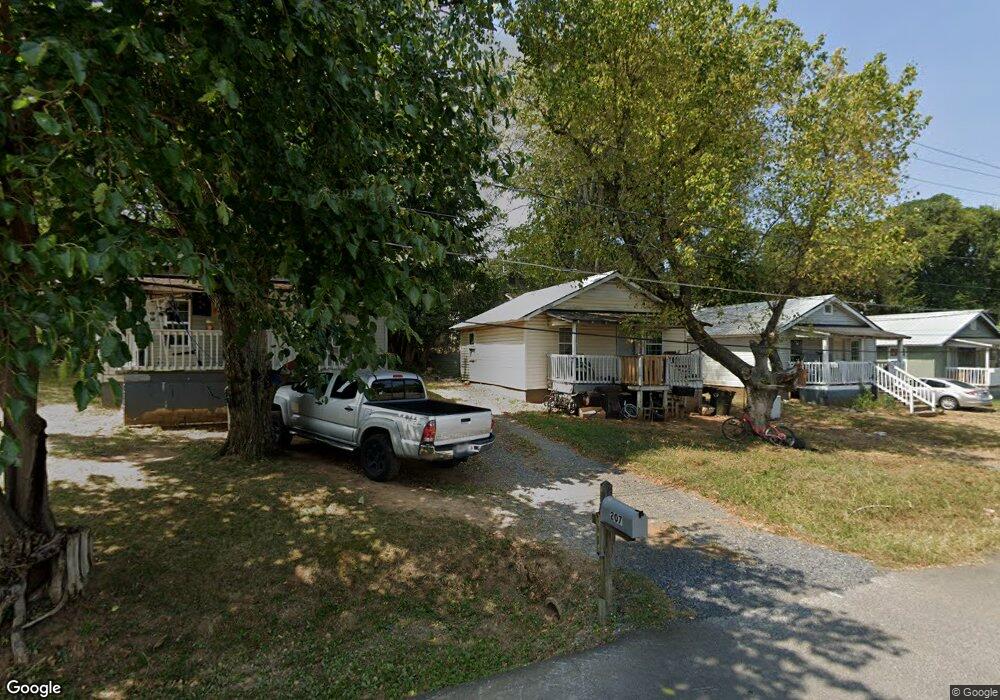
207 Griffin St Dalton, GA 30721
Estimated Value: $138,000 - $649,000
16
Beds
8
Baths
690
Sq Ft
$730/Sq Ft
Est. Value
About This Home
This home is located at 207 Griffin St, Dalton, GA 30721 and is currently estimated at $503,816, approximately $730 per square foot. 207 Griffin St is a home located in Whitfield County with nearby schools including Blue Ridge Elementary School, Dalton Middle School, and Dalton High School.
Ownership History
Date
Name
Owned For
Owner Type
Purchase Details
Closed on
Sep 17, 2020
Sold by
Gowan Properties Inc
Bought by
Sosa Amalia De Jesus
Current Estimated Value
Purchase Details
Closed on
Sep 2, 2003
Sold by
Coker Properties Llp
Bought by
Gowan Properties Inc
Purchase Details
Closed on
Nov 9, 2000
Sold by
Hambright Property Management
Bought by
Coker Properties Llp
Purchase Details
Closed on
Dec 1, 1999
Bought by
Hambright Property Management
Create a Home Valuation Report for This Property
The Home Valuation Report is an in-depth analysis detailing your home's value as well as a comparison with similar homes in the area
Home Values in the Area
Average Home Value in this Area
Purchase History
| Date | Buyer | Sale Price | Title Company |
|---|---|---|---|
| Sosa Amalia De Jesus | -- | None Listed On Document | |
| Gowan Properties Inc | $360,000 | -- | |
| Coker Properties Llp | $225,000 | -- | |
| Hambright Property Management | $180,000 | -- |
Source: Public Records
Tax History Compared to Growth
Tax History
| Year | Tax Paid | Tax Assessment Tax Assessment Total Assessment is a certain percentage of the fair market value that is determined by local assessors to be the total taxable value of land and additions on the property. | Land | Improvement |
|---|---|---|---|---|
| 2024 | $6,977 | $307,410 | $16,800 | $290,610 |
| 2023 | $6,977 | $227,434 | $10,800 | $216,634 |
| 2022 | $5,020 | $145,743 | $10,800 | $134,943 |
| 2021 | $5,027 | $145,743 | $10,800 | $134,943 |
| 2020 | $2,289 | $63,884 | $5,400 | $58,484 |
| 2019 | $2,360 | $63,884 | $5,400 | $58,484 |
| 2018 | $2,396 | $63,884 | $5,400 | $58,484 |
| 2017 | $2,306 | $63,884 | $5,400 | $58,484 |
| 2016 | $2,441 | $68,181 | $10,500 | $57,681 |
| 2014 | $2,218 | $67,207 | $10,500 | $56,707 |
| 2013 | -- | $67,207 | $10,500 | $56,707 |
Source: Public Records
Map
Nearby Homes
- 519 Abigail St
- 230 Henderson St
- 404 Paige St
- 825 Martin Luther King jr Blvd
- 533 Underwood St
- 204 N Bogle St
- 711 E Morris St
- 301B Fields Ave
- 503 Harris St
- 502 E Woodland Dr
- 606 Virginia Ave
- 432 4th Ave
- 429 S Glenwood Ave
- 303 Janice St
- 303 Crystal Place Unit 16
- 303 Crystal Place
- 540 Stillwood Dr
- 1118 Dozier St
- 601 Stillwood Dr
- 406 S Thornton Ave Unit 101
- 525 Teasley St
- 600 Martin Luther King jr Blvd
- 514 Teasley St
- 514 Teasley St
- 509 Teasley St
- 510 Teasley St
- 519 Mcafee St
- 521 Mcafee St
- 515 Mcafee St
- 523 Mcafee St
- 508 Teasley St
- 512 Martin Luther King Junior Blvd
- 525 Mcafee St
- 513 Mcafee St
- 512 Martin Luther King jr Blvd
- 511 Mcafee St
- 527 Mcafee St
- 509 Mcafee St
- 113 Henderson St
- 506 Teasley St