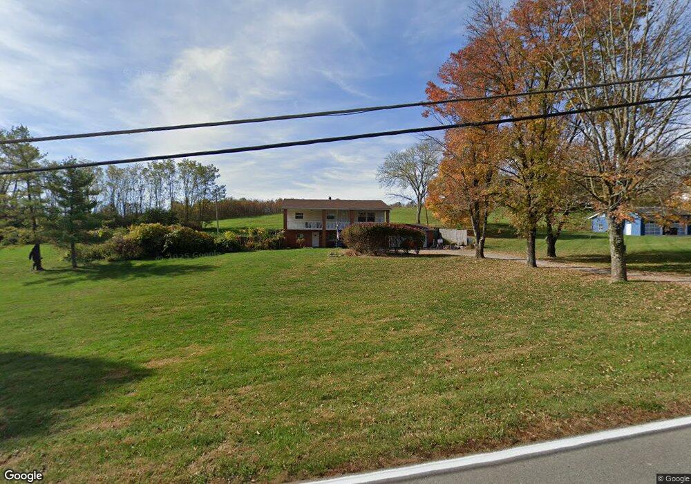
207 Independence Station Rd Independence, KY 41051
Estimated Value: $263,000 - $380,000
4
Beds
3
Baths
2,520
Sq Ft
$134/Sq Ft
Est. Value
About This Home
This home is located at 207 Independence Station Rd, Independence, KY 41051 and is currently estimated at $338,064, approximately $134 per square foot. 207 Independence Station Rd is a home located in Kenton County with nearby schools including Kenton Elementary School, Simon Kenton High School, and St. Cecilia Catholic School.
Ownership History
Date
Name
Owned For
Owner Type
Purchase Details
Closed on
Oct 6, 2003
Sold by
The Bank Of New York
Bought by
Helton Jimmy R and Helton Nora A
Current Estimated Value
Home Financials for this Owner
Home Financials are based on the most recent Mortgage that was taken out on this home.
Original Mortgage
$79,500
Outstanding Balance
$36,972
Interest Rate
6.16%
Mortgage Type
Purchase Money Mortgage
Estimated Equity
$301,092
Purchase Details
Closed on
Jan 17, 2003
Sold by
Wilson Bill
Bought by
The Bank Of New York
Create a Home Valuation Report for This Property
The Home Valuation Report is an in-depth analysis detailing your home's value as well as a comparison with similar homes in the area
Home Values in the Area
Average Home Value in this Area
Purchase History
| Date | Buyer | Sale Price | Title Company |
|---|---|---|---|
| Helton Jimmy R | $99,500 | -- | |
| The Bank Of New York | $73,334 | -- |
Source: Public Records
Mortgage History
| Date | Status | Borrower | Loan Amount |
|---|---|---|---|
| Open | Helton Jimmy R | $79,500 |
Source: Public Records
Tax History Compared to Growth
Tax History
| Year | Tax Paid | Tax Assessment Tax Assessment Total Assessment is a certain percentage of the fair market value that is determined by local assessors to be the total taxable value of land and additions on the property. | Land | Improvement |
|---|---|---|---|---|
| 2024 | $1,015 | $129,200 | $25,000 | $104,200 |
| 2023 | $1,045 | $129,200 | $25,000 | $104,200 |
| 2022 | $1,188 | $129,200 | $25,000 | $104,200 |
| 2021 | $1,205 | $129,200 | $25,000 | $104,200 |
| 2020 | $995 | $110,000 | $25,000 | $85,000 |
| 2019 | $997 | $110,000 | $25,000 | $85,000 |
| 2018 | $1,025 | $110,000 | $25,000 | $85,000 |
| 2017 | $998 | $110,000 | $25,000 | $85,000 |
| 2015 | $970 | $110,000 | $30,000 | $80,000 |
| 2014 | $968 | $110,000 | $30,000 | $80,000 |
Source: Public Records
Map
Nearby Homes
- 9947 Meadow Glen Dr
- 9972 Meadow Glen Dr
- 10363 Canberra Dr
- 1365 Cairns Ct
- 114 Sylvan Dr
- 5186 Christopher Dr
- 1355 Meadowcrest Cir
- 10383 Lynchburg Dr
- 64 Sylvan Dr
- 10438 Canberra Dr
- 10444 Canberra Dr
- 10448 Canberra Dr
- 10150 Meadow Glen Dr
- 10323 Manassas Ct
- 1381 Poplartree Place
- 1375 Grandarbor Cir
- 10434 Sharpsburg Dr
- 1373 Meadowrun Ln
- Cumberland Plan at Meadow Glen - Maple Street Collection
- Wesley Plan at Meadow Glen - Maple Street Collection
- 215 Independence Station Rd
- 5208 Cody Rd
- 5212 Cody Rd
- 5216 Cody Rd
- 1372 Shenandoah Ct
- 1376 Shenandoah Ct
- 1368 Shenandoah Ct
- 1380 Shenandoah Ct
- 1384 Shenandoah Ct
- 188 Independence Station Rd
- 62 Shenandoah Ct
- 61 Shenandoah Ct
- 59 Shenandoah Ct
- 56 Shenandoah Ct
- 60 Shenandoah Ct
- 57 Shenandoah Ct
- 58 Shenandoah Ct Unit Lot50
- 1388 Shenandoah Ct
- 1364 Shenandoah Ct
- 1360 Shenandoah Ct