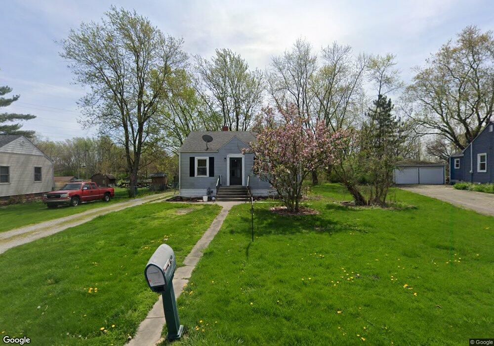
207 Maple St Crown Point, IN 46307
Estimated Value: $212,408 - $261,000
2
Beds
1
Bath
1,992
Sq Ft
$116/Sq Ft
Est. Value
About This Home
This home is located at 207 Maple St, Crown Point, IN 46307 and is currently estimated at $231,602, approximately $116 per square foot. 207 Maple St is a home located in Lake County with nearby schools including Timothy Ball Elementary School, Robert Taft Middle School, and Crown Point High School.
Ownership History
Date
Name
Owned For
Owner Type
Purchase Details
Closed on
Dec 28, 2004
Sold by
Lariccia Andrea and Andrew W & Sylvia Backe Trust
Bought by
Backe Brenda J
Current Estimated Value
Home Financials for this Owner
Home Financials are based on the most recent Mortgage that was taken out on this home.
Original Mortgage
$56,500
Outstanding Balance
$27,804
Interest Rate
5.78%
Mortgage Type
Fannie Mae Freddie Mac
Estimated Equity
$203,798
Create a Home Valuation Report for This Property
The Home Valuation Report is an in-depth analysis detailing your home's value as well as a comparison with similar homes in the area
Home Values in the Area
Average Home Value in this Area
Purchase History
| Date | Buyer | Sale Price | Title Company |
|---|---|---|---|
| Backe Brenda J | -- | Ticor Title Insurance |
Source: Public Records
Mortgage History
| Date | Status | Borrower | Loan Amount |
|---|---|---|---|
| Open | Backe Brenda J | $56,500 |
Source: Public Records
Tax History
| Year | Tax Paid | Tax Assessment Tax Assessment Total Assessment is a certain percentage of the fair market value that is determined by local assessors to be the total taxable value of land and additions on the property. | Land | Improvement |
|---|---|---|---|---|
| 2025 | $1,553 | $178,200 | $34,700 | $143,500 |
| 2024 | $4,277 | $165,100 | $34,700 | $130,400 |
| 2023 | $1,543 | $155,600 | $34,700 | $120,900 |
| 2022 | $1,543 | $148,500 | $34,700 | $113,800 |
| 2021 | $1,320 | $137,300 | $28,700 | $108,600 |
| 2020 | $1,349 | $135,800 | $28,700 | $107,100 |
| 2019 | $1,340 | $131,600 | $28,700 | $102,900 |
| 2018 | $1,330 | $126,800 | $28,700 | $98,100 |
| 2017 | $1,334 | $126,100 | $28,700 | $97,400 |
| 2016 | $1,283 | $121,800 | $28,700 | $93,100 |
| 2014 | $1,135 | $119,500 | $28,700 | $90,800 |
| 2013 | $999 | $110,400 | $28,700 | $81,700 |
Source: Public Records
Map
Nearby Homes
- 1101 Sycamore St
- 1206 Sycamore St
- 221 Cedar St
- 624 N West St
- 1436 Bohling Place
- 515 Holley Dr
- 511 N West St
- 1465 Mybeck Place
- 771 Kenmare Pkwy
- 767 Kenmare Pkwy
- 306 Holton Ridge
- 301 Hoffman St
- 9830 Mckinley St
- 1343 Prairie Dr
- 1702 W 100th Ave
- 0 W Joliet St
- 150 N Ridge St
- 380 N Indiana Ave
- 360 N Indiana Ave
- 7830 W 106th Ln