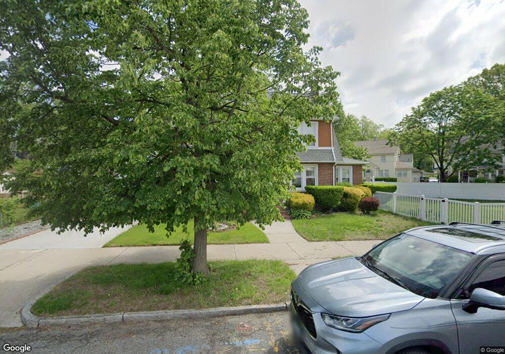
207 Middlesex St Springfield, MA 01109
Upper Hill NeighborhoodEstimated Value: $298,000 - $315,727
3
Beds
2
Baths
2,026
Sq Ft
$151/Sq Ft
Est. Value
About This Home
This home is located at 207 Middlesex St, Springfield, MA 01109 and is currently estimated at $306,682, approximately $151 per square foot. 207 Middlesex St is a home located in Hampden County with nearby schools including Daniel B Brunton, John J Duggan Middle, and Springfield High School of Science and Technology.
Ownership History
Date
Name
Owned For
Owner Type
Purchase Details
Closed on
Mar 19, 2024
Sold by
Bailey Beryl I
Bought by
Beryl Irene Bailey Ret and Bailey
Current Estimated Value
Purchase Details
Closed on
Aug 21, 2000
Sold by
Norman Paul and Norman Mamie S
Bought by
Bailey Beryl Irene
Home Financials for this Owner
Home Financials are based on the most recent Mortgage that was taken out on this home.
Original Mortgage
$69,964
Interest Rate
8.13%
Mortgage Type
Purchase Money Mortgage
Create a Home Valuation Report for This Property
The Home Valuation Report is an in-depth analysis detailing your home's value as well as a comparison with similar homes in the area
Home Values in the Area
Average Home Value in this Area
Purchase History
| Date | Buyer | Sale Price | Title Company |
|---|---|---|---|
| Beryl Irene Bailey Ret | -- | None Available | |
| Bailey Beryl Irene | $70,000 | -- |
Source: Public Records
Mortgage History
| Date | Status | Borrower | Loan Amount |
|---|---|---|---|
| Previous Owner | Bailey Beryl Irene | $69,964 | |
| Previous Owner | Bailey Beryl Irene | $39,000 | |
| Previous Owner | Bailey Beryl Irene | $25,000 |
Source: Public Records
Tax History
| Year | Tax Paid | Tax Assessment Tax Assessment Total Assessment is a certain percentage of the fair market value that is determined by local assessors to be the total taxable value of land and additions on the property. | Land | Improvement |
|---|---|---|---|---|
| 2025 | $4,579 | $292,000 | $32,200 | $259,800 |
| 2024 | $4,081 | $254,100 | $32,200 | $221,900 |
| 2023 | $4,170 | $244,600 | $29,300 | $215,300 |
| 2022 | $3,570 | $189,700 | $27,300 | $162,400 |
| 2021 | $3,604 | $190,700 | $19,400 | $171,300 |
| 2020 | $3,428 | $175,500 | $19,400 | $156,100 |
| 2019 | $3,403 | $172,900 | $16,500 | $156,400 |
| 2018 | $3,220 | $163,600 | $16,500 | $147,100 |
| 2017 | $3,018 | $153,500 | $15,600 | $137,900 |
| 2016 | $2,878 | $146,400 | $15,600 | $130,800 |
| 2015 | $2,886 | $146,700 | $15,600 | $131,100 |
Source: Public Records
Map
Nearby Homes
- 135-137 Suffolk St
- 124-126 Westford Cir
- 0 NS (24) Alden St
- 89 Bristol St
- 111 Marlborough St
- 62-64 Bristol St
- 21 Westford Cir
- 31-33 Suffolk St
- 11 Ina St
- 87 Fenwick St
- 283 Wilbraham Rd
- 189 Northampton Ave
- 48-50 Dresden St
- 19 Westford Ave
- 22 Amanda St
- 25 Dresden St
- 44 Amanda St
- 41 Olive St
- 236 Pondview Dr
- 290 Quincy St
- 199 Middlesex St
- 206 Bristol St
- 215 Bristol St
- 209 Bristol St
- 221 Bristol St
- 216 Middlesex St
- 216 Middlesex St
- 210 Middlesex St
- 205 Bristol St
- 225 Bristol St
- 198 Bristol St Unit 200
- 206 Middlesex St
- 220 Middlesex St Unit 222
- 199 Bristol St
- 193 Middlesex St
- 187 Middlesex St
- 192 Bristol St Unit 194
- 229 Bristol St
- 192-194 Bristol St
- 226 Norfolk St
Your Personal Tour Guide
Ask me questions while you tour the home.