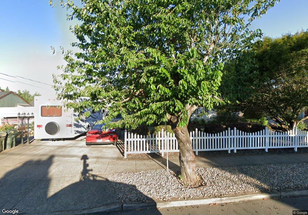
207 S 4th Ave Cornelius, OR 97113
Estimated Value: $363,000 - $471,000
3
Beds
2
Baths
1,194
Sq Ft
$347/Sq Ft
Est. Value
About This Home
This home is located at 207 S 4th Ave, Cornelius, OR 97113 and is currently estimated at $413,947, approximately $346 per square foot. 207 S 4th Ave is a home located in Washington County with nearby schools including Fern Hill Elementary School, Neil Armstrong Middle School, and Tom McCall Upper Elementary School.
Ownership History
Date
Name
Owned For
Owner Type
Purchase Details
Closed on
Oct 22, 2012
Sold by
Toth Francis and Toth Ramona L
Bought by
Toth Francis and Toth Ramona L
Current Estimated Value
Purchase Details
Closed on
Mar 25, 1996
Sold by
Finegan Melvin J
Bought by
Toth Francis and Toth Ramona L
Home Financials for this Owner
Home Financials are based on the most recent Mortgage that was taken out on this home.
Original Mortgage
$80,000
Outstanding Balance
$2,610
Interest Rate
6.98%
Estimated Equity
$411,337
Create a Home Valuation Report for This Property
The Home Valuation Report is an in-depth analysis detailing your home's value as well as a comparison with similar homes in the area
Purchase History
| Date | Buyer | Sale Price | Title Company |
|---|---|---|---|
| Toth Francis | -- | None Available | |
| Toth Francis | $100,000 | Oregon Title Insurance Co |
Source: Public Records
Mortgage History
| Date | Status | Borrower | Loan Amount |
|---|---|---|---|
| Open | Toth Francis | $80,000 |
Source: Public Records
Tax History
| Year | Tax Paid | Tax Assessment Tax Assessment Total Assessment is a certain percentage of the fair market value that is determined by local assessors to be the total taxable value of land and additions on the property. | Land | Improvement |
|---|---|---|---|---|
| 2026 | $3,329 | $191,630 | -- | -- |
| 2025 | $3,329 | $186,050 | -- | -- |
| 2024 | $3,041 | $180,640 | -- | -- |
| 2023 | $3,041 | $175,380 | $0 | $0 |
| 2022 | $2,694 | $175,380 | $0 | $0 |
| 2021 | $2,662 | $165,330 | $0 | $0 |
| 2020 | $2,652 | $160,520 | $0 | $0 |
| 2019 | $2,594 | $155,850 | $0 | $0 |
| 2018 | $2,515 | $151,320 | $0 | $0 |
| 2017 | $2,437 | $146,920 | $0 | $0 |
| 2016 | $2,368 | $142,650 | $0 | $0 |
| 2015 | $2,229 | $138,500 | $0 | $0 |
| 2014 | $2,152 | $134,470 | $0 | $0 |
Source: Public Records
Map
Nearby Homes
- 332 S Tarrybrook Dr
- 253 S Tarrybrook Cir
- 1509 Centennial Cir
- 961 S 4th Ave
- 1504 Frontier Cir
- 1506 Pioneer Cir
- 312 S Magnolia St
- 4403 Wagon Wheel Cir
- 1100 S Ivy St
- 904 S Magnolia St
- 1302 Pioneer Way
- 1830 Tamarack Way
- 3831 Pacific Ave Unit D5
- 3831 Pacific Ave Unit D2
- 570 N 10th St Unit 29
- 570 N 10th Ave Unit 2
- 570 N 10th Ave Unit 6
- 570 N 10th Ave Unit 110
- 1721 Sequoia Ct
- 369 S 16th Ave
Your Personal Tour Guide
Ask me questions while you tour the home.