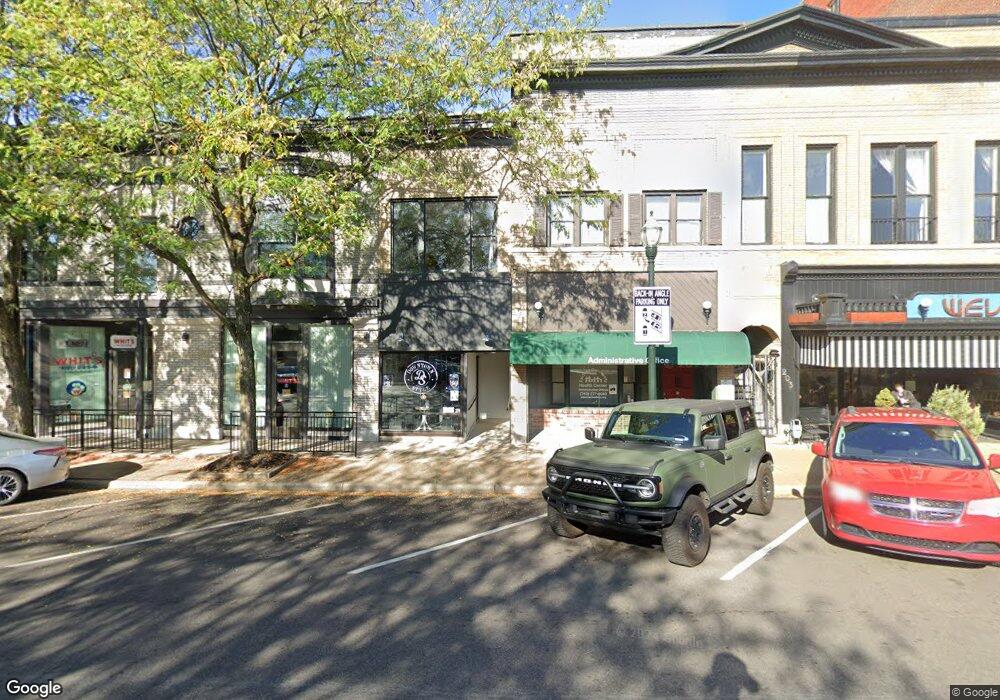
207 S Broad St Lancaster, OH 43130
Estimated Value: $409,132
--
Bed
--
Bath
4,825
Sq Ft
$85/Sq Ft
Est. Value
About This Home
This home is located at 207 S Broad St, Lancaster, OH 43130 and is currently estimated at $409,132, approximately $84 per square foot. 207 S Broad St is a home located in Fairfield County with nearby schools including Thomas Ewing Junior High School, Lancaster High School, and St Mary Elementary School.
Ownership History
Date
Name
Owned For
Owner Type
Purchase Details
Closed on
May 5, 2022
Sold by
207 South Broad Street Llc
Bought by
Endless Options Llc
Current Estimated Value
Purchase Details
Closed on
Jan 14, 2009
Sold by
Joos D Jane and Joos Michael J
Bought by
207 South Broad Street Llc
Home Financials for this Owner
Home Financials are based on the most recent Mortgage that was taken out on this home.
Original Mortgage
$148,000
Interest Rate
5.53%
Mortgage Type
Seller Take Back
Purchase Details
Closed on
Jan 1, 1987
Create a Home Valuation Report for This Property
The Home Valuation Report is an in-depth analysis detailing your home's value as well as a comparison with similar homes in the area
Home Values in the Area
Average Home Value in this Area
Purchase History
| Date | Buyer | Sale Price | Title Company |
|---|---|---|---|
| Endless Options Llc | -- | Northwest Title | |
| 207 South Broad Street Llc | $185,000 | None Available | |
| -- | $79,000 | -- |
Source: Public Records
Mortgage History
| Date | Status | Borrower | Loan Amount |
|---|---|---|---|
| Previous Owner | 207 South Broad Street Llc | $148,000 |
Source: Public Records
Tax History Compared to Growth
Tax History
| Year | Tax Paid | Tax Assessment Tax Assessment Total Assessment is a certain percentage of the fair market value that is determined by local assessors to be the total taxable value of land and additions on the property. | Land | Improvement |
|---|---|---|---|---|
| 2024 | $4,873 | $54,200 | $6,590 | $47,610 |
| 2023 | $3,062 | $54,200 | $6,590 | $47,610 |
| 2022 | $3,073 | $54,200 | $6,590 | $47,610 |
| 2021 | $3,134 | $54,200 | $6,590 | $47,610 |
| 2020 | $3,225 | $54,200 | $6,590 | $47,610 |
| 2019 | $3,111 | $54,200 | $6,590 | $47,610 |
| 2018 | $3,042 | $54,200 | $6,590 | $47,610 |
| 2017 | $3,036 | $54,200 | $6,590 | $47,610 |
| 2016 | $2,948 | $54,200 | $6,590 | $47,610 |
| 2015 | $2,522 | $54,200 | $6,590 | $47,610 |
| 2014 | $2,410 | $54,200 | $6,590 | $47,610 |
| 2013 | $2,410 | $54,200 | $6,590 | $47,610 |
Source: Public Records
Map
Nearby Homes
- 0 N Columbus St
- 154 E Main St
- 115 E Wheeling St
- 0 N Memorial Dr
- 0 Slocum Ave
- 153 King St
- 441 E Locust St
- 233 Lewis Ave
- 113 N George St
- 515 N Columbus St
- 573 Willow St
- 510 W Wheeling St
- 534 E Wheeling St
- 545 E Main St
- 571 E Chestnut St
- 312 Witte St
- 619 E Main St
- 187 E Allen St
- 608 E Mulberry St
- 708 N High St
- 207 1/2 S Broad St
- 209 S Broad St
- 203 S Broad St
- 201 S Broad St Unit 110 W Chestnut
- 201 S Broad St Unit 501-503
- 201 S Broad St Unit 200
- 201 S Broad St Unit 310
- 201 S Broad St Unit 400
- 201 S Broad St
- 221 1/2 S Broad St
- 110 W Chestnut St
- 221 S Broad St
- 118 W Chestnut St
- 122 W Chestnut St
- 133 S Broad St
- 128 W Chestnut St
- 130 W Chestnut St
- 123 W Walnut St
- 121 S Broad St Unit 235
- 121 S Broad St Unit 214