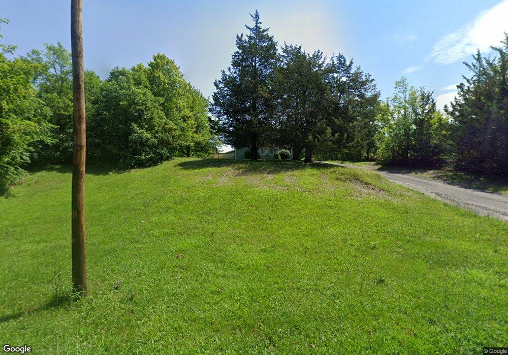
207 S Liberty St West Unity, OH 43570
Estimated Value: $163,000 - $222,420
3
Beds
2
Baths
1,683
Sq Ft
$110/Sq Ft
Est. Value
About This Home
This home is located at 207 S Liberty St, West Unity, OH 43570 and is currently estimated at $184,855, approximately $109 per square foot. 207 S Liberty St is a home located in Williams County with nearby schools including Hilltop Elementary School and Hilltop High School.
Ownership History
Date
Name
Owned For
Owner Type
Purchase Details
Closed on
May 8, 1998
Sold by
Lillemon Todd G and Lillemon Lisa M
Bought by
Holbrook Holbrook J and Holbrook Susanne
Current Estimated Value
Purchase Details
Closed on
Mar 24, 1998
Sold by
Salines Timoteo A And
Bought by
Lillemon Todd G and Lillemon Lisa M
Purchase Details
Closed on
Mar 17, 1986
Bought by
Salines Timoteo A And
Create a Home Valuation Report for This Property
The Home Valuation Report is an in-depth analysis detailing your home's value as well as a comparison with similar homes in the area
Home Values in the Area
Average Home Value in this Area
Purchase History
| Date | Buyer | Sale Price | Title Company |
|---|---|---|---|
| Holbrook Holbrook J | $38,000 | -- | |
| Lillemon Todd G | $38,500 | -- | |
| Salines Timoteo A And | $38,000 | -- |
Source: Public Records
Tax History Compared to Growth
Tax History
| Year | Tax Paid | Tax Assessment Tax Assessment Total Assessment is a certain percentage of the fair market value that is determined by local assessors to be the total taxable value of land and additions on the property. | Land | Improvement |
|---|---|---|---|---|
| 2024 | $2,252 | $59,780 | $18,550 | $41,230 |
| 2023 | $2,252 | $45,470 | $15,860 | $29,610 |
| 2022 | $2,173 | $45,470 | $15,860 | $29,610 |
| 2021 | $2,179 | $45,470 | $15,860 | $29,610 |
| 2020 | $1,924 | $38,860 | $13,550 | $25,310 |
| 2019 | $1,894 | $35,710 | $13,550 | $22,160 |
| 2018 | $1,606 | $35,710 | $13,550 | $22,160 |
| 2017 | $1,529 | $30,950 | $9,700 | $21,250 |
| 2016 | $1,452 | $30,950 | $9,700 | $21,250 |
| 2015 | $1,665 | $30,950 | $9,700 | $21,250 |
| 2014 | $1,665 | $32,590 | $10,220 | $22,370 |
| 2013 | $1,637 | $32,590 | $10,220 | $22,370 |
Source: Public Records
Map
Nearby Homes
- 000 W Jackson
- 311 W Rings St
- 340 S Main St
- 205 Taylor Dr
- 22227 Us Highway 20a
- 16806 US Highway 20a
- 18 Cobblestone Rd
- 15664 County Road K
- 16228 County Road N-30
- 305 W Mulberry St
- 3063 County Road 26-2
- 0 U S 20
- 301 Horton St
- 22018 County Road F
- 7170 County Road 23
- 0 St Rt 15 Unit 10001011
- 23161 County Road Jk
- 10628 Ohio 15
- 0 County Road F
- 24218 State Route 2
- 205 Kenyon St
- 204 Kenyon St
- 213 S Liberty St
- 125 Madison St S
- 123 Madison St S
- 116 S Liberty St
- 121 Madison St S
- 119 Madison St S
- 114 S Liberty St
- 126 Madison St S
- 120 Madison St S
- 215 S Liberty St
- 110 S Liberty St
- 118 Madison St S
- 301 Liberty Ln
- 115 Madison St S
- 123 S Main St
- 121 S Main St
- 114 Madison St S
- 119 S Main St