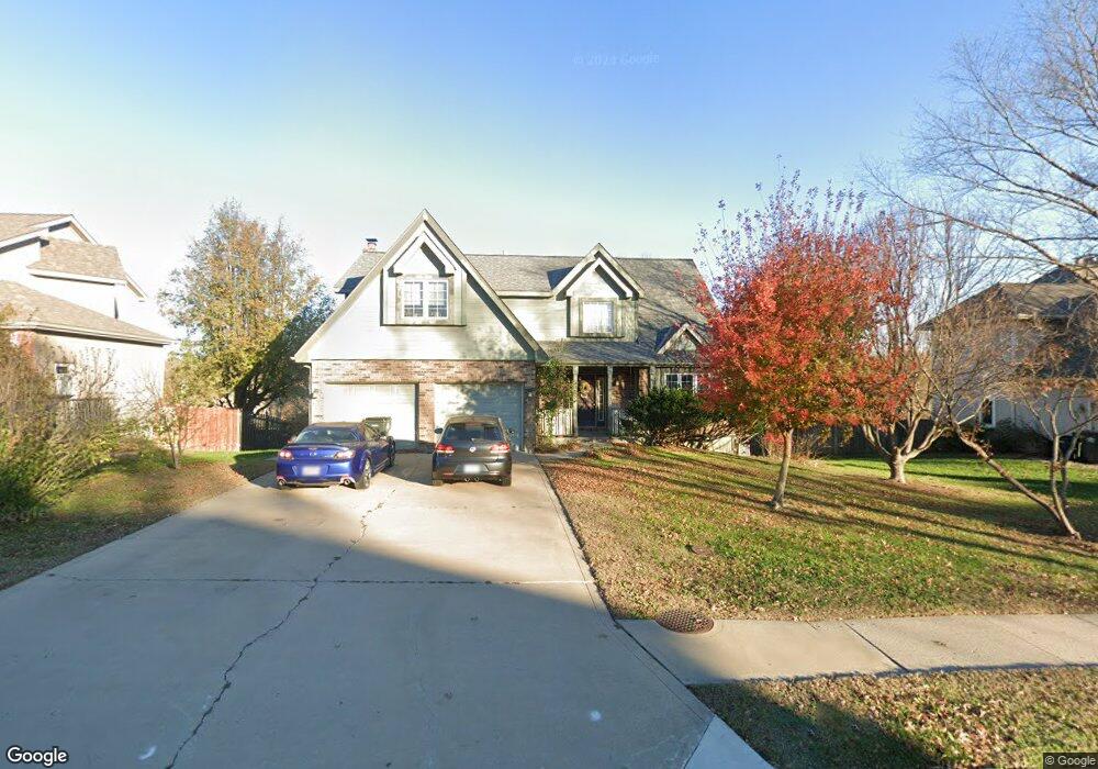
207 Southfork Rd Lansing, KS 66043
Estimated Value: $376,000 - $414,000
4
Beds
3
Baths
2,142
Sq Ft
$181/Sq Ft
Est. Value
About This Home
This home is located at 207 Southfork Rd, Lansing, KS 66043 and is currently estimated at $387,461, approximately $180 per square foot. 207 Southfork Rd is a home located in Leavenworth County with nearby schools including Lansing Elementary School, Lansing Middle 6-8, and Lansing High 9-12.
Ownership History
Date
Name
Owned For
Owner Type
Purchase Details
Closed on
Jul 1, 1997
Bought by
Schifferle Peter J and Schifferle Sandra L
Current Estimated Value
Home Financials for this Owner
Home Financials are based on the most recent Mortgage that was taken out on this home.
Original Mortgage
$25,112
Interest Rate
7.13%
Mortgage Type
New Conventional
Create a Home Valuation Report for This Property
The Home Valuation Report is an in-depth analysis detailing your home's value as well as a comparison with similar homes in the area
Home Values in the Area
Average Home Value in this Area
Purchase History
| Date | Buyer | Sale Price | Title Company |
|---|---|---|---|
| Schifferle Peter J | $175,000 | -- |
Source: Public Records
Mortgage History
| Date | Status | Borrower | Loan Amount |
|---|---|---|---|
| Closed | Schifferle Peter J | $25,112 |
Source: Public Records
Tax History Compared to Growth
Tax History
| Year | Tax Paid | Tax Assessment Tax Assessment Total Assessment is a certain percentage of the fair market value that is determined by local assessors to be the total taxable value of land and additions on the property. | Land | Improvement |
|---|---|---|---|---|
| 2025 | $5,315 | $41,010 | $6,328 | $34,682 |
| 2024 | $4,929 | $39,432 | $6,328 | $33,104 |
| 2023 | $4,929 | $37,915 | $6,328 | $31,587 |
| 2022 | $4,584 | $33,362 | $4,758 | $28,604 |
| 2021 | $4,305 | $29,900 | $4,758 | $25,142 |
| 2020 | $3,951 | $27,025 | $4,758 | $22,267 |
| 2019 | $3,957 | $27,025 | $4,758 | $22,267 |
| 2018 | $4,123 | $28,164 | $4,758 | $23,406 |
| 2017 | $4,042 | $27,554 | $4,758 | $22,796 |
| 2016 | $4,044 | $27,554 | $4,758 | $22,796 |
| 2015 | $3,940 | $26,933 | $4,758 | $22,175 |
| 2014 | $3,776 | $26,357 | $4,758 | $21,599 |
Source: Public Records
Map
Nearby Homes
- 875 Clearview Dr
- 866 Clearview Dr
- 833 Rock Creek Dr
- 1322 Rock Creek Ct
- 1221 S Desoto Rd
- 922 Southfork St
- 24431 139th St
- 811 4-H Rd
- 13965 Mc Intyre Rd
- 13788 McIntyre1 Rd
- 13788 Mcintyre Rd
- 13788 McIntyre2 Rd
- 000 4-H Rd
- 527 S Valley Dr
- 401 W Olive St
- 104 Olive St
- 522 Forestglen Ln
- 546 Hithergreen Dr
- 202 S Main St
- 24303 131st St
- 205 Southfork Rd
- 209 Southfork Rd
- 203 Southfork Rd
- 206 Southfork Rd
- 189 Canyon View Dr
- 204 Southfork Rd
- 191 Canyon View Dr
- 211 Southfork Rd
- 202 Southfork Rd
- 195 Canyon View Dr
- 208 Southfork Rd
- 187 Canyon View Dr
- 197 Canyon View Dr
- 201 Canyon View Dr
- 210 Southfork Rd
- 185 Canyon View Dr
- 183 Canyon View Dr
- 181 Canyon View Dr
- 203 Canyon View Dr