207 Spivey Rd Newnan, GA 30263
Estimated Value: $357,000 - $589,000
3
Beds
2
Baths
2,617
Sq Ft
$194/Sq Ft
Est. Value
About This Home
This home is located at 207 Spivey Rd, Newnan, GA 30263 and is currently estimated at $508,617, approximately $194 per square foot. 207 Spivey Rd is a home with nearby schools including Atkinson Elementary School, Smokey Road Middle School, and Newnan High School.
Ownership History
Date
Name
Owned For
Owner Type
Purchase Details
Closed on
Oct 7, 2004
Sold by
Brown Joyce and Brown George
Bought by
West Star Inv Llc
Current Estimated Value
Home Financials for this Owner
Home Financials are based on the most recent Mortgage that was taken out on this home.
Original Mortgage
$76,850
Interest Rate
5.71%
Mortgage Type
New Conventional
Purchase Details
Closed on
Apr 3, 1990
Bought by
Brown Hugh and Brown Joyce B
Purchase Details
Closed on
Aug 14, 1974
Bought by
Johnson Douglas
Create a Home Valuation Report for This Property
The Home Valuation Report is an in-depth analysis detailing your home's value as well as a comparison with similar homes in the area
Home Values in the Area
Average Home Value in this Area
Purchase History
| Date | Buyer | Sale Price | Title Company |
|---|---|---|---|
| West Star Inv Llc | $75,000 | -- | |
| Brown Hugh | $50,000 | -- | |
| Johnson Douglas | $27,200 | -- |
Source: Public Records
Mortgage History
| Date | Status | Borrower | Loan Amount |
|---|---|---|---|
| Closed | West Star Inv Llc | $76,850 |
Source: Public Records
Tax History Compared to Growth
Tax History
| Year | Tax Paid | Tax Assessment Tax Assessment Total Assessment is a certain percentage of the fair market value that is determined by local assessors to be the total taxable value of land and additions on the property. | Land | Improvement |
|---|---|---|---|---|
| 2024 | $1,786 | $195,724 | $49,668 | $146,056 |
| 2023 | $1,786 | $180,068 | $44,918 | $135,150 |
| 2022 | $1,084 | $153,638 | $40,834 | $112,804 |
| 2021 | $878 | $138,384 | $38,890 | $99,494 |
| 2020 | $877 | $138,384 | $38,890 | $99,494 |
| 2019 | $736 | $113,285 | $40,178 | $73,107 |
| 2018 | $739 | $113,285 | $40,178 | $73,107 |
| 2017 | $1,076 | $113,285 | $40,178 | $73,107 |
| 2016 | $1,048 | $113,285 | $40,178 | $73,107 |
| 2015 | $1,007 | $113,285 | $40,178 | $73,107 |
| 2014 | $1,349 | $113,285 | $40,178 | $73,107 |
Source: Public Records
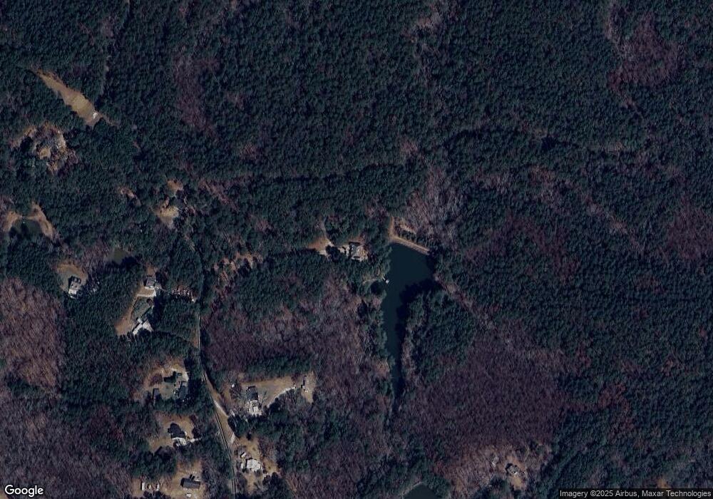
Map
Nearby Homes
- 972 Earl Rd N
- 1967 Corinth Rd
- 46 Brandish Dr
- 2403 W Grantville Rd
- 140 Beverly Park Ct
- 23 Corn Crib Ct
- 130 Mallard Dr
- 23 Corn Crib Dr
- 135 Widgeon Dr
- 110 Corn Row Ct
- 1756 Millard Farmer Rd
- 831 Holbrook Rd
- LOT 1 Joe Roberts Rd
- LOT 3 Joe Roberts Rd
- 164 I Walker Brooks Rd
- 56 Fox Hollow Run
- 15 Forest Place
- 150 Wild Boar Way
- 598 Beavers Rd
- 68 Timberland Trail
- 243 Spivey Rd
- 170 Spivey Rd
- 121 Spivey Rd
- 154 Spivey Rd
- TR 1 Spivey Rd
- 194 Spivey Rd
- 880 Earl North Rd
- 110 Spivey Rd
- 330 Spivey Rd
- 802 Earl North Rd
- 55 Spivey Rd
- 167 Lee Lassetter Rd
- 890 Earl North Rd
- 890 Earl North Rd
- 992 Earl North Rd
- 992 Earl North Rd
- 992 Earl North Rd
- 890 Earl Rd N
- 956 Earl North Rd
- 1849 Corinth Rd