2070 Darby Rd Waleska, GA 30183
Estimated Value: $241,000 - $320,000
3
Beds
1
Bath
1,344
Sq Ft
$209/Sq Ft
Est. Value
About This Home
This home is located at 2070 Darby Rd, Waleska, GA 30183 and is currently estimated at $281,187, approximately $209 per square foot. 2070 Darby Rd is a home located in Cherokee County with nearby schools including R. M. Moore Elementary School, Teasley Middle School, and Cherokee High School.
Ownership History
Date
Name
Owned For
Owner Type
Purchase Details
Closed on
May 20, 2019
Sold by
White Michelle
Bought by
White James Lance
Current Estimated Value
Home Financials for this Owner
Home Financials are based on the most recent Mortgage that was taken out on this home.
Original Mortgage
$136,363
Outstanding Balance
$119,397
Interest Rate
4.1%
Mortgage Type
New Conventional
Estimated Equity
$161,790
Purchase Details
Closed on
Dec 28, 2018
Sold by
Chastain Pamela Joyce
Bought by
White Michelle
Purchase Details
Closed on
Jul 20, 2018
Sold by
Chastain Melvin Grady
Bought by
Matthews Pamela Joyce
Purchase Details
Closed on
Jun 24, 2013
Sold by
Chastain Melvin G
Bought by
Chastain Melvin Grady
Home Financials for this Owner
Home Financials are based on the most recent Mortgage that was taken out on this home.
Original Mortgage
$92,000
Interest Rate
2.75%
Mortgage Type
New Conventional
Create a Home Valuation Report for This Property
The Home Valuation Report is an in-depth analysis detailing your home's value as well as a comparison with similar homes in the area
Home Values in the Area
Average Home Value in this Area
Purchase History
| Date | Buyer | Sale Price | Title Company |
|---|---|---|---|
| White James Lance | $135,000 | -- | |
| White Michelle | $80,000 | -- | |
| Matthews Pamela Joyce | -- | -- | |
| Chastain Melvin Grady | -- | -- |
Source: Public Records
Mortgage History
| Date | Status | Borrower | Loan Amount |
|---|---|---|---|
| Open | White James Lance | $136,363 | |
| Previous Owner | Chastain Melvin Grady | $92,000 |
Source: Public Records
Tax History Compared to Growth
Tax History
| Year | Tax Paid | Tax Assessment Tax Assessment Total Assessment is a certain percentage of the fair market value that is determined by local assessors to be the total taxable value of land and additions on the property. | Land | Improvement |
|---|---|---|---|---|
| 2025 | $2,615 | $118,112 | $20,720 | $97,392 |
| 2024 | $2,463 | $110,592 | $18,880 | $91,712 |
| 2023 | $2,056 | $111,952 | $18,880 | $93,072 |
| 2022 | $1,824 | $79,192 | $18,560 | $60,632 |
| 2021 | $1,459 | $56,832 | $12,400 | $44,432 |
| 2020 | $1,357 | $52,392 | $10,800 | $41,592 |
| 2019 | $1,115 | $39,240 | $10,800 | $28,440 |
| 2018 | $321 | $38,040 | $10,800 | $27,240 |
| 2017 | $321 | $95,200 | $10,800 | $27,280 |
| 2016 | $321 | $90,400 | $10,800 | $25,360 |
| 2015 | $334 | $91,600 | $10,800 | $25,840 |
| 2014 | $322 | $88,400 | $10,080 | $25,280 |
Source: Public Records
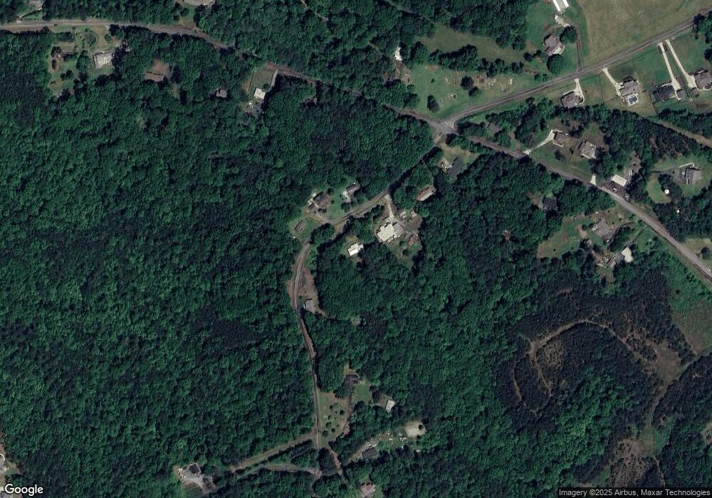
Map
Nearby Homes
- 2020 Darby Rd
- 6231 Reinhardt College Pkwy
- 1723 Darby Rd
- 1717 Darby Rd
- 6434 Reinhardt College Pkwy
- 1017 Cable Rd
- 240 Land Rd
- 994 Cable Rd
- 990 Cable Rd
- 1010 Cable Rd
- 134 Brookwood Trail
- 544 Sardis Cir
- 4441 Fincher Rd
- 735 Sardis Cir
- 737 Sardis Cir
- 1175 Bartow St
- 156 Puckett Rd
- 158 Puckett Rd
- 424 Cable Rd
- 520 George Gray Ln
- 2136 Darby Rd
- Lot 1 Darby Rd
- 0 Land Rd Unit 8257793
- 0 Land Rd Unit 8257733
- 0 Land Rd
- 00 Land Rd
- 000 Land Rd
- 0 Land Rd Unit 10198840
- 0 Land Rd Unit 7270210
- 0 Land Rd Unit 20119318
- 0 Land Rd Unit 10079814
- 0 Land Rd Unit TRACT 1 20023759
- 0 Land Rd Unit 8960834
- 0 Land Rd Unit TRACT 2 9032151
- 0 Land Rd Unit TRACT 1 9032143
- 0 Land Rd Unit 8983720
- 0 Land Rd Unit 8257779
- 0 Land Rd Unit 143 8942111
- 0 Land Rd Unit 8898519
- 0 Land Rd Unit 3 8477261