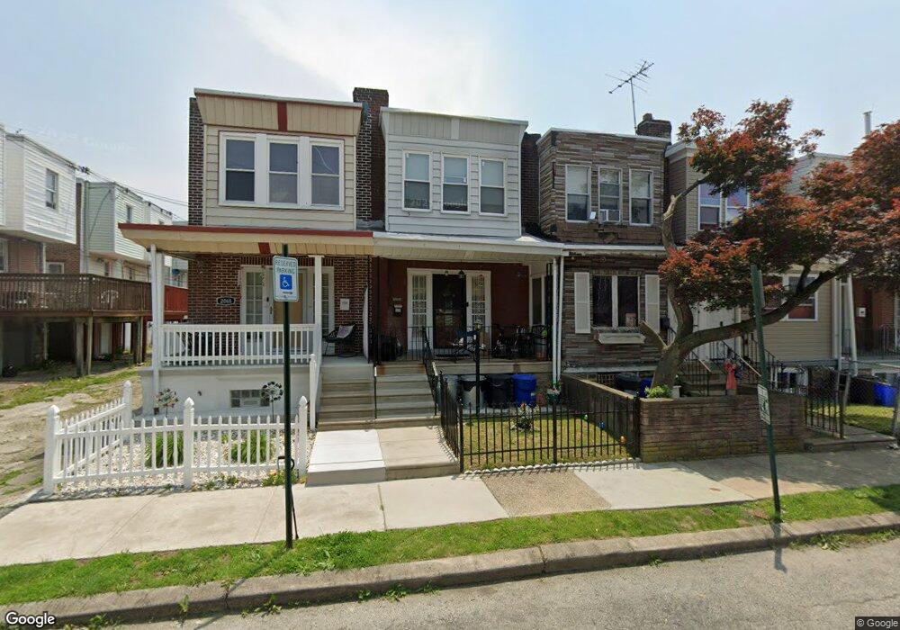
2070 Eastburn Ave Philadelphia, PA 19138
West Oak Lane NeighborhoodEstimated Value: $107,439 - $150,000
2
Beds
1
Bath
728
Sq Ft
$180/Sq Ft
Est. Value
About This Home
This home is located at 2070 Eastburn Ave, Philadelphia, PA 19138 and is currently estimated at $130,860, approximately $179 per square foot. 2070 Eastburn Ave is a home located in Philadelphia County with nearby schools including William Rowen School, Gen. Louis Wagner Middle School, and Martin Luther King High School.
Ownership History
Date
Name
Owned For
Owner Type
Purchase Details
Closed on
Oct 31, 2008
Sold by
Cruz Anibal
Bought by
Watts Jacqueline
Current Estimated Value
Home Financials for this Owner
Home Financials are based on the most recent Mortgage that was taken out on this home.
Original Mortgage
$55,850
Outstanding Balance
$36,661
Interest Rate
6.08%
Mortgage Type
Purchase Money Mortgage
Estimated Equity
$94,199
Purchase Details
Closed on
Feb 8, 2008
Sold by
King Clara
Bought by
Cruz Anibal
Create a Home Valuation Report for This Property
The Home Valuation Report is an in-depth analysis detailing your home's value as well as a comparison with similar homes in the area
Home Values in the Area
Average Home Value in this Area
Purchase History
| Date | Buyer | Sale Price | Title Company |
|---|---|---|---|
| Watts Jacqueline | $57,900 | None Available | |
| Cruz Anibal | $42,500 | None Available |
Source: Public Records
Mortgage History
| Date | Status | Borrower | Loan Amount |
|---|---|---|---|
| Open | Watts Jacqueline | $55,850 |
Source: Public Records
Tax History Compared to Growth
Tax History
| Year | Tax Paid | Tax Assessment Tax Assessment Total Assessment is a certain percentage of the fair market value that is determined by local assessors to be the total taxable value of land and additions on the property. | Land | Improvement |
|---|---|---|---|---|
| 2025 | $1,284 | $116,300 | $23,260 | $93,040 |
| 2024 | $1,284 | $116,300 | $23,260 | $93,040 |
| 2023 | $1,284 | $91,700 | $18,340 | $73,360 |
| 2022 | $388 | $46,700 | $18,340 | $28,360 |
| 2021 | $1,018 | $0 | $0 | $0 |
| 2020 | $1,018 | $0 | $0 | $0 |
| 2019 | $1,062 | $0 | $0 | $0 |
| 2018 | $1,072 | $0 | $0 | $0 |
| 2017 | $1,072 | $0 | $0 | $0 |
| 2016 | $652 | $0 | $0 | $0 |
| 2015 | $540 | $0 | $0 | $0 |
| 2014 | -- | $70,300 | $5,594 | $64,706 |
| 2012 | -- | $13,152 | $2,780 | $10,372 |
Source: Public Records
Map
Nearby Homes
- 2061 Independence St
- 6603 N 21st St
- 2029 Eastburn Ave
- 6731 N Woodstock St
- 6824 Rodney St
- 6733 N Woodstock St
- 2120 66th Ave
- 2070 E Haines St
- 2105 Stenton Ave
- 2115 Stenton Ave
- 6534 N Lambert St
- 2125 Stenton Ave
- 2056 Eastburn Ave
- 6558 Limekiln Pike
- 6600 N Opal St
- 6313 E Wister St
- 6332 E Wister St
- 2022 66th Ave
- 2152 Stenton Ave
- 6648 N 20th St
- 2068 Eastburn Ave
- 2072 Eastburn Ave
- 2074 Eastburn Ave
- 2076 Eastburn Ave
- 2078 Eastburn Ave
- 6746 Woolston Ave
- 6744 Woolston Ave
- 2080 Eastburn Ave
- 6742 Woolston Ave
- 6732 Woolston Ave
- 2082 Eastburn Ave
- 6740 Woolston Ave
- 6738 Woolston Ave
- 2063 Independence St
- 2065 Independence St
- 2084 Eastburn Ave
- 2067 Independence St
- 2069 Independence St
- 6736 Woolston Ave
- 2071 Independence St