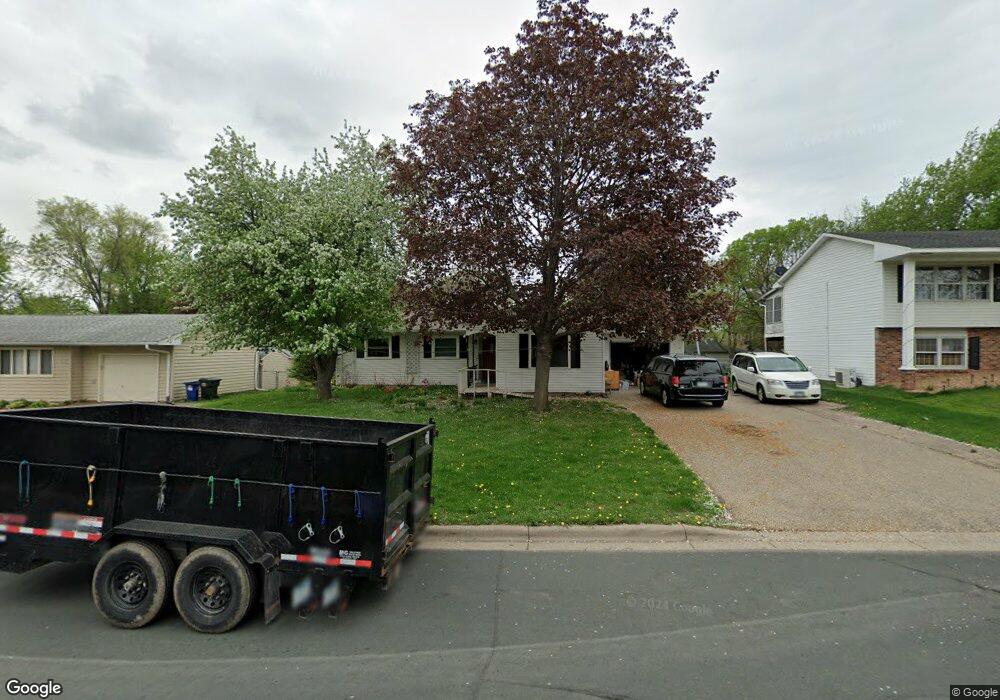
2070 Jade Ln Saint Paul, MN 55122
Estimated Value: $338,000 - $358,000
4
Beds
2
Baths
1,128
Sq Ft
$309/Sq Ft
Est. Value
About This Home
This home is located at 2070 Jade Ln, Saint Paul, MN 55122 and is currently estimated at $348,423, approximately $308 per square foot. 2070 Jade Ln is a home located in Dakota County with nearby schools including Burnsville High School, Gateway STEM Academy, and Sunrise International Montessori School.
Ownership History
Date
Name
Owned For
Owner Type
Purchase Details
Closed on
May 4, 2005
Sold by
Volker Steven E and Volker Jodi E
Bought by
Randall Debbie
Current Estimated Value
Purchase Details
Closed on
Sep 28, 2000
Sold by
Anderson Jay R and Anderson Tracy
Bought by
Volker Steven E and Volker Jodi E
Purchase Details
Closed on
Jan 10, 1998
Sold by
Tucholke Harold and Tucholke Neva M
Bought by
Anderson Jay R
Create a Home Valuation Report for This Property
The Home Valuation Report is an in-depth analysis detailing your home's value as well as a comparison with similar homes in the area
Home Values in the Area
Average Home Value in this Area
Purchase History
| Date | Buyer | Sale Price | Title Company |
|---|---|---|---|
| Randall Debbie | $227,900 | -- | |
| Volker Steven E | $151,900 | -- | |
| Anderson Jay R | $117,500 | -- |
Source: Public Records
Tax History
| Year | Tax Paid | Tax Assessment Tax Assessment Total Assessment is a certain percentage of the fair market value that is determined by local assessors to be the total taxable value of land and additions on the property. | Land | Improvement |
|---|---|---|---|---|
| 2024 | $3,298 | $310,700 | $77,500 | $233,200 |
| 2023 | $3,298 | $311,800 | $77,700 | $234,100 |
| 2022 | $2,498 | $299,700 | $77,500 | $222,200 |
| 2021 | $2,836 | $259,900 | $67,100 | $192,800 |
| 2020 | $2,680 | $242,000 | $63,900 | $178,100 |
| 2019 | $2,639 | $239,300 | $60,800 | $178,500 |
| 2018 | $2,439 | $226,300 | $58,000 | $168,300 |
| 2017 | $2,323 | $201,800 | $55,200 | $146,600 |
| 2016 | $2,138 | $191,600 | $52,600 | $139,000 |
| 2015 | $2,001 | $163,429 | $46,694 | $116,735 |
| 2014 | -- | $158,088 | $45,080 | $113,008 |
| 2013 | -- | $131,819 | $39,435 | $92,384 |
Source: Public Records
Map
Nearby Homes
- 4022 Cedar Grove Ln
- 2042 Bluestone Ln
- 4004 Cedar Grove Ln
- 4002 Cedar Grove Ln
- 2156 Cedar Grove Trail
- 2128 River Valley Ln
- 4110 Rahn Rd Unit 201
- 4110 Rahn Rd Unit 317
- 3981 Cedar Grove Ln
- 3976 Cedar Grove Ln
- 4130 Rahn Rd Unit B119
- 4130 Rahn Rd Unit B206
- 2078 Diffley Rd
- 3904 Rahn Rd
- 3902 Rahn Rd
- 1978 Timber Wolf Trail S
- 2232 White Water Way
- 4125 Ruby Ln
- 1955 Timber Wolf Trail S
- 3861 Gold Point Unit B
Your Personal Tour Guide
Ask me questions while you tour the home.