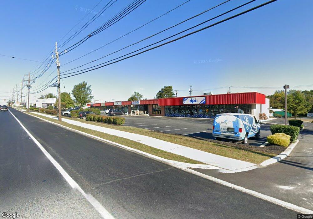
2070 Route 70 E Cherry Hill, NJ 08003
Estimated Value: $4,857,046
Studio
--
Bath
--
Sq Ft
63,598
Sq Ft Lot
About This Home
This home is located at 2070 Route 70 E, Cherry Hill, NJ 08003 and is currently estimated at $4,857,046. 2070 Route 70 E is a home located in Camden County with nearby schools including James F. Cooper Elementary School, Henry C. Beck Middle School, and Cherry Hill High-East High School.
Ownership History
Date
Name
Owned For
Owner Type
Purchase Details
Closed on
Oct 9, 2018
Sold by
Thundercrack Llc
Bought by
Mscj Property Management Llc
Current Estimated Value
Home Financials for this Owner
Home Financials are based on the most recent Mortgage that was taken out on this home.
Original Mortgage
$2,466,900
Outstanding Balance
$2,169,312
Interest Rate
4.9%
Mortgage Type
Commercial
Estimated Equity
$2,687,734
Create a Home Valuation Report for This Property
The Home Valuation Report is an in-depth analysis detailing your home's value as well as a comparison with similar homes in the area
Home Values in the Area
Average Home Value in this Area
Purchase History
| Date | Buyer | Sale Price | Title Company |
|---|---|---|---|
| Mscj Property Management Llc | $2,600,000 | Infinity Title Agency |
Source: Public Records
Mortgage History
| Date | Status | Borrower | Loan Amount |
|---|---|---|---|
| Open | Mscj Property Management Llc | $2,466,900 |
Source: Public Records
Tax History
| Year | Tax Paid | Tax Assessment Tax Assessment Total Assessment is a certain percentage of the fair market value that is determined by local assessors to be the total taxable value of land and additions on the property. | Land | Improvement |
|---|---|---|---|---|
| 2025 | $63,799 | $1,430,800 | $448,000 | $982,800 |
| 2024 | $60,122 | $1,430,800 | $448,000 | $982,800 |
| 2023 | $60,122 | $1,430,800 | $448,000 | $982,800 |
| 2022 | $58,462 | $1,430,800 | $448,000 | $982,800 |
| 2021 | $58,648 | $1,430,800 | $448,000 | $982,800 |
| 2020 | $57,933 | $1,430,800 | $448,000 | $982,800 |
| 2019 | $48,256 | $1,192,400 | $448,000 | $744,400 |
| 2018 | $48,125 | $1,192,400 | $448,000 | $744,400 |
| 2017 | $47,469 | $1,192,400 | $448,000 | $744,400 |
| 2016 | $46,837 | $1,192,400 | $448,000 | $744,400 |
| 2015 | $46,098 | $1,192,400 | $448,000 | $744,400 |
| 2014 | $45,585 | $1,192,400 | $448,000 | $744,400 |
Source: Public Records
Map
Nearby Homes
- 25 Champlain Rd
- 206 Mimosa Dr
- 8 W High Ridge Rd
- 224 Teal Ln
- 234 Fir Tree Ct
- 6 Wheelwright Ln
- 906 Chesterwood Ct
- 1107 Chesterwood Ct Unit 1107
- 17 Valley Forge Ct
- 11 Strathmore Dr
- 9 Candlewood Cir
- 924 Cropwell Rd
- 33 N Green Acre Dr
- 1037 Society Hill Blvd
- 24 Westbury Dr
- 1003 Society Hill Blvd
- 701 Society Hill Blvd Unit A
- 504 Longstone Dr
- 44 Ashley Ct
- 18 Karen Dr
- 2001 New Jersey 70
- 11 Old Orchard Rd
- 1999 Marlton Pike E
- 2081 Marlton Pike E
- 33 Brandywine Dr
- 13 Old Orchard Rd
- 2075 Rt-70 E
- 10 Old Orchard Rd
- 31 Brandywine Dr
- 2091 Marlton Pike E
- 2093 Marlton Pike E
- 2090 Marlton Pike E
- 2075 Route 70 E
- 12 Old Orchard Rd
- 15 Old Orchard Rd
- 29 Brandywine Dr
- 14 Old Orchard Rd
- 27 Brandywine Dr
- 17 Old Orchard Rd
- 2087 Marlton Pike E
Your Personal Tour Guide
Ask me questions while you tour the home.