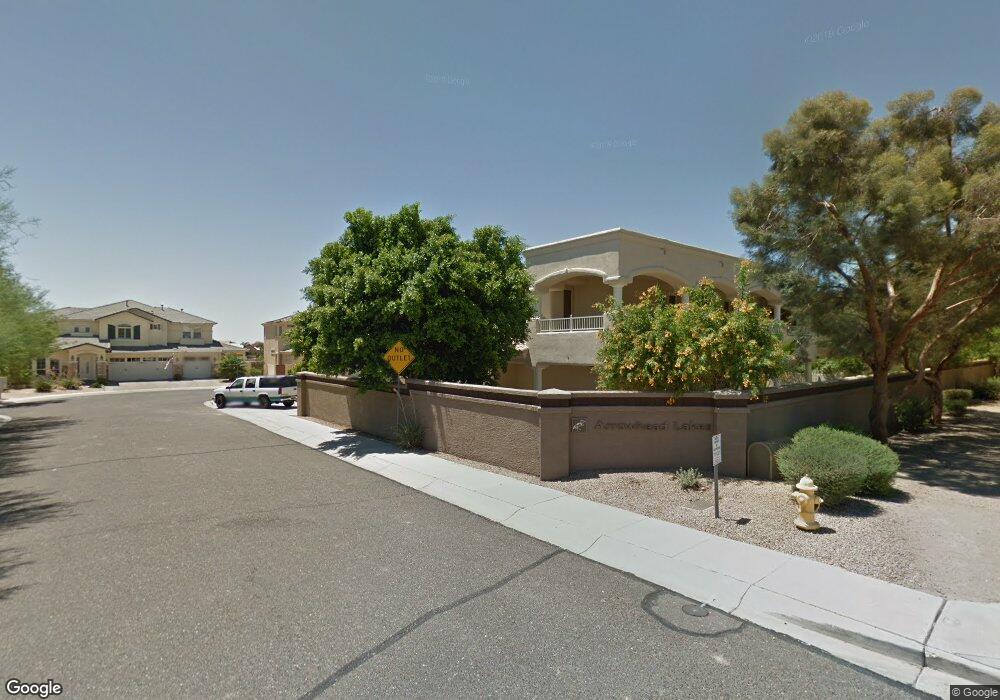
20701 N 51st Dr Glendale, AZ 85308
Arrowhead NeighborhoodEstimated Value: $891,081 - $1,121,000
5
Beds
5
Baths
4,264
Sq Ft
$238/Sq Ft
Est. Value
About This Home
This home is located at 20701 N 51st Dr, Glendale, AZ 85308 and is currently estimated at $1,016,770, approximately $238 per square foot. 20701 N 51st Dr is a home located in Maricopa County with nearby schools including Legend Springs Elementary School, Hillcrest Middle School, and Mountain Ridge High School.
Ownership History
Date
Name
Owned For
Owner Type
Purchase Details
Closed on
Nov 6, 2017
Sold by
Gastelum Alfonso and Gastelum Kathryn D
Bought by
Anderson Michael J and Anderson Dora I
Current Estimated Value
Purchase Details
Closed on
Aug 9, 2016
Sold by
Uribe Kim Teran and Bon Salvador Pineda
Bought by
Bon Salvador Pineda
Purchase Details
Closed on
Jun 2, 2016
Sold by
Alvarez Maricela
Bought by
Gastelum Alfonso and Gastelum Kathryn D
Purchase Details
Closed on
Jan 28, 2013
Sold by
Bon Salvador Pineda
Bought by
Alvarez Maricela
Purchase Details
Closed on
Apr 10, 2011
Sold by
Ornelas Ricardo
Bought by
Bon Salvador Pineda
Purchase Details
Closed on
Aug 25, 2006
Sold by
Reyes Rene
Bought by
Ornelas Ricardo
Purchase Details
Closed on
Jan 22, 2004
Sold by
Anchors Rochelle
Bought by
Reyes Rene
Home Financials for this Owner
Home Financials are based on the most recent Mortgage that was taken out on this home.
Original Mortgage
$607,000
Interest Rate
5.5%
Mortgage Type
Seller Take Back
Purchase Details
Closed on
Sep 26, 2003
Sold by
Taranto Robert J
Bought by
Anchors Rochelle
Home Financials for this Owner
Home Financials are based on the most recent Mortgage that was taken out on this home.
Original Mortgage
$457,600
Interest Rate
6.64%
Mortgage Type
New Conventional
Purchase Details
Closed on
Sep 7, 2001
Sold by
Taranto Dawn S
Bought by
Taranto Robert J
Home Financials for this Owner
Home Financials are based on the most recent Mortgage that was taken out on this home.
Original Mortgage
$483,200
Interest Rate
6.99%
Mortgage Type
Construction
Purchase Details
Closed on
Sep 18, 2000
Sold by
Harrison Donald W and Harrison Terri D
Bought by
Taranto Robert J and Taranto Dawn S
Home Financials for this Owner
Home Financials are based on the most recent Mortgage that was taken out on this home.
Original Mortgage
$97,600
Interest Rate
8.07%
Mortgage Type
New Conventional
Create a Home Valuation Report for This Property
The Home Valuation Report is an in-depth analysis detailing your home's value as well as a comparison with similar homes in the area
Home Values in the Area
Average Home Value in this Area
Purchase History
| Date | Buyer | Sale Price | Title Company |
|---|---|---|---|
| Anderson Michael J | $475,000 | Fidelity National Title Agen | |
| Bon Salvador Pineda | -- | Fidelity Natl Title Agency I | |
| Gastelum Alfonso | -- | Fidelity Natl Title Agency I | |
| Alvarez Maricela | -- | None Available | |
| Bon Salvador Pineda | $375,000 | None Available | |
| Ornelas Ricardo | -- | None Available | |
| Reyes Rene | $632,000 | Security Title Agency | |
| Anchors Rochelle | $572,000 | Equity Title Agency Inc | |
| Taranto Robert J | -- | Capital Title Agency | |
| Taranto Robert J | $122,000 | North American Title Agency |
Source: Public Records
Mortgage History
| Date | Status | Borrower | Loan Amount |
|---|---|---|---|
| Previous Owner | Reyes Rene | $607,000 | |
| Previous Owner | Anchors Rochelle | $457,600 | |
| Previous Owner | Taranto Robert J | $483,200 | |
| Previous Owner | Taranto Robert J | $97,600 | |
| Closed | Anchors Rochelle | $114,400 |
Source: Public Records
Tax History Compared to Growth
Tax History
| Year | Tax Paid | Tax Assessment Tax Assessment Total Assessment is a certain percentage of the fair market value that is determined by local assessors to be the total taxable value of land and additions on the property. | Land | Improvement |
|---|---|---|---|---|
| 2025 | $3,697 | $51,862 | -- | -- |
| 2024 | $4,315 | $49,392 | -- | -- |
| 2023 | $4,315 | $57,870 | $11,570 | $46,300 |
| 2022 | $4,195 | $44,800 | $8,960 | $35,840 |
| 2021 | $4,385 | $42,900 | $8,580 | $34,320 |
| 2020 | $4,414 | $41,550 | $8,310 | $33,240 |
| 2019 | $4,815 | $43,780 | $8,750 | $35,030 |
| 2018 | $4,843 | $43,150 | $8,630 | $34,520 |
| 2017 | $5,301 | $42,350 | $8,470 | $33,880 |
| 2016 | $5,053 | $43,350 | $8,670 | $34,680 |
| 2015 | $4,675 | $37,050 | $7,410 | $29,640 |
Source: Public Records
Map
Nearby Homes
- 20283 N 51st Dr Unit 8B
- 5153 W Pontiac Dr
- 21004 N 53rd Ave
- 20615 N 55th Ave
- 20390 N 54th Ave
- 20045 N 49th Dr
- 5415 W Pontiac Dr
- 4918 W Wahalla Ln Unit 1
- 19814 N 49th Dr
- 20391 N 55th Dr
- 5561 W Rose Garden Ln
- 4760 W Wahalla Ln
- 4932 W Oraibi Dr
- 5340 W Melinda Ln
- 4644 W Havasupai Dr
- 5344 W Oraibi Dr
- 21480 N 56th Ave
- 19731 N 55th Ave
- 21636 N 55th Dr
- 19813 N 47th Ave
- 20707 N 51st Dr
- 20713 N 51st Dr
- 20419 N 51st Dr
- 20719 N 51st Dr
- 20710 N 51st Dr
- 20704 N 51st Dr
- 20716 N 51st Dr
- 20418 N 51st Dr
- 20415 N 51st Dr
- 20722 N 51st Dr
- 20725 N 51st Dr
- 20414 N 51st Dr
- 20411 N 51st Dr Unit 8B
- 20732 N 51st Dr
- 20728 N 51st Dr
- 5020 W Mohawk Ln
- 5105 W Potter Dr
- 5111 W Potter Dr
- 20307 N 51st Dr
- 20305 N 51st Dr