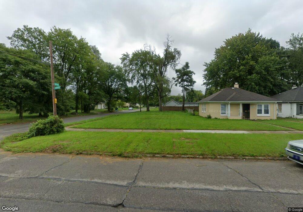
20705 Lyndon St Detroit, MI 48223
Brightmoor NeighborhoodEstimated Value: $46,000 - $121,000
--
Bed
1
Bath
805
Sq Ft
$104/Sq Ft
Est. Value
About This Home
This home is located at 20705 Lyndon St, Detroit, MI 48223 and is currently estimated at $83,500, approximately $103 per square foot. 20705 Lyndon St is a home located in Wayne County with nearby schools including Gompers Elementary-Middle School, Charles L. Spain Elementary-Middle School, and Edward 'Duke' Ellington Conservatory of Music and Art.
Ownership History
Date
Name
Owned For
Owner Type
Purchase Details
Closed on
Jul 16, 2014
Sold by
The City Of Detroit
Bought by
The Detroit Land Bank Authority
Current Estimated Value
Purchase Details
Closed on
Feb 7, 2013
Sold by
Wayne County Treasurer
Bought by
Planning & Development Dept City Of Detr
Purchase Details
Closed on
Apr 7, 2006
Sold by
The City Of Detroit
Bought by
Subnani Ajit H
Create a Home Valuation Report for This Property
The Home Valuation Report is an in-depth analysis detailing your home's value as well as a comparison with similar homes in the area
Home Values in the Area
Average Home Value in this Area
Purchase History
| Date | Buyer | Sale Price | Title Company |
|---|---|---|---|
| The Detroit Land Bank Authority | -- | None Available | |
| Planning & Development Dept City Of Detr | -- | None Available | |
| Subnani Ajit H | $10,001 | None Available |
Source: Public Records
Tax History Compared to Growth
Tax History
| Year | Tax Paid | Tax Assessment Tax Assessment Total Assessment is a certain percentage of the fair market value that is determined by local assessors to be the total taxable value of land and additions on the property. | Land | Improvement |
|---|---|---|---|---|
| 2025 | -- | $0 | $0 | $0 |
| 2024 | -- | $0 | $0 | $0 |
| 2023 | $0 | $0 | $0 | $0 |
| 2022 | $0 | $0 | $0 | $0 |
| 2021 | $0 | $0 | $0 | $0 |
| 2020 | $1,188 | $0 | $0 | $0 |
| 2019 | $1,188 | $0 | $0 | $0 |
| 2018 | $0 | $0 | $0 | $0 |
| 2017 | -- | $0 | $0 | $0 |
| 2016 | $968 | $0 | $0 | $0 |
| 2015 | $968 | $0 | $0 | $0 |
| 2013 | $968 | $9,680 | $0 | $0 |
| 2010 | -- | $13,871 | $916 | $12,955 |
Source: Public Records
Map
Nearby Homes
- 20511 Lyndon St
- 14561 Stout St
- 14195 Kentfield St
- 14175 Kentfield St
- 14598 Heyden St
- 14032 Patton St
- 14844 Heyden St
- 14616 Vaughan St
- 14910 Heyden St
- 14526 Evergreen Rd
- 14532 Evergreen Rd
- 14352 Evergreen Rd
- 13968 Blackstone St
- 19651 Lyndon St
- 14054 Vaughan St
- 14258 Plainview Ave
- 14171 Plainview Ave
- 14118 Evergreen Rd
- 14807 Burgess
- 14305 Auburn St
- 20715 Lyndon St
- 20721 Lyndon St
- 20731 Lyndon St
- 20645 Lyndon St
- 14427 Braile St
- 20641 Lyndon St
- 20712 Lyndon St
- 20737 Lyndon St
- 20720 Lyndon St
- 20747 Lyndon St
- 14421 Braile St
- 20640 Lyndon St
- 14432 Braile St
- 20625 Lyndon St
- 14415 Braile St
- 14416 Braile St
- 20734 Lyndon St
- 14426 Pierson St
- 20728 Lyndon St
- 14409 Braile St