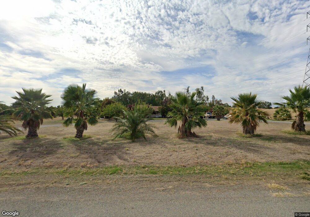
20705 Manter Ct Red Bluff, CA 96080
Estimated Value: $391,425 - $547,000
4
Beds
2
Baths
1,661
Sq Ft
$279/Sq Ft
Est. Value
About This Home
This home is located at 20705 Manter Ct, Red Bluff, CA 96080 and is currently estimated at $463,606, approximately $279 per square foot. 20705 Manter Ct is a home located in Tehama County with nearby schools including Jackson Heights Elementary School, Vista Preparatory Academy, and Red Bluff High School.
Ownership History
Date
Name
Owned For
Owner Type
Purchase Details
Closed on
May 4, 2004
Sold by
Lopeman Charles R and Lehman Richard
Bought by
Angulo Herman G and Angulo Leticia E
Current Estimated Value
Home Financials for this Owner
Home Financials are based on the most recent Mortgage that was taken out on this home.
Original Mortgage
$146,000
Outstanding Balance
$71,690
Interest Rate
5.38%
Mortgage Type
Construction
Estimated Equity
$391,916
Create a Home Valuation Report for This Property
The Home Valuation Report is an in-depth analysis detailing your home's value as well as a comparison with similar homes in the area
Purchase History
| Date | Buyer | Sale Price | Title Company |
|---|---|---|---|
| Angulo Herman G | $56,000 | Chicago Title Co |
Source: Public Records
Mortgage History
| Date | Status | Borrower | Loan Amount |
|---|---|---|---|
| Open | Angulo Herman G | $146,000 |
Source: Public Records
Tax History
| Year | Tax Paid | Tax Assessment Tax Assessment Total Assessment is a certain percentage of the fair market value that is determined by local assessors to be the total taxable value of land and additions on the property. | Land | Improvement |
|---|---|---|---|---|
| 2025 | $2,498 | $245,742 | $69,708 | $176,034 |
| 2023 | $2,504 | $245,742 | $69,708 | $176,034 |
| 2022 | $2,535 | $245,742 | $69,708 | $176,034 |
| 2021 | $2,251 | $223,402 | $63,371 | $160,031 |
| 2020 | $2,012 | $194,262 | $55,105 | $139,157 |
| 2019 | $2,064 | $194,262 | $55,105 | $139,157 |
| 2018 | $1,766 | $176,601 | $50,095 | $126,506 |
| 2017 | $1,647 | $160,546 | $45,541 | $115,005 |
| 2016 | $1,492 | $152,901 | $43,372 | $109,529 |
| 2015 | $1,490 | $152,901 | $43,372 | $109,529 |
| 2014 | $1,296 | $132,958 | $37,715 | $95,243 |
Source: Public Records
Map
Nearby Homes
- Lot D Aloe Place
- 14430 Molluc Dr
- 20662 Saddlebrook Dr
- 14465 Ryan Ln
- 13905 Mendenhall Rd
- 14535 Molluc Dr
- 0 Ludlow Ave Unit SN25045951
- 2132 Reta Way
- 4375 Via Ventura
- 2157 Reta Way
- 2180 Gentry Way
- 225 Sparrow Ct
- 21350 Wilcox Rd
- 4000 Via Ventura
- 14575 Kinney Ave
- 245 Walton Ave
- 21300 Meadowgate Dr
- 14385 Del Oro Ct
- 14605 Kinney Ave
- 14395 Del Oro Ct
- Parcel D Manter Ct
- 20735 Manter Ct
- 20685 Manter Ct
- 13985 Baker Rd
- 14020 Baker Rd
- 20740 Manter Ct
- 20770 Highland Ct
- 14030 Denniston Ct
- 14062 Baker Rd
- Manter Crt Manter Ct Unit Parcel D
- 20660 Manter Ct
- 20774 Highland Ct
- 14072 Baker Rd
- 13975 Baker Rd
- 20772 Highland Ct
- 20776 Highland Ct
- 14082 Baker Rd
- 14052 Baker Rd
- 20655 Manter Ct
- 14115 Baker Rd
Your Personal Tour Guide
Ask me questions while you tour the home.