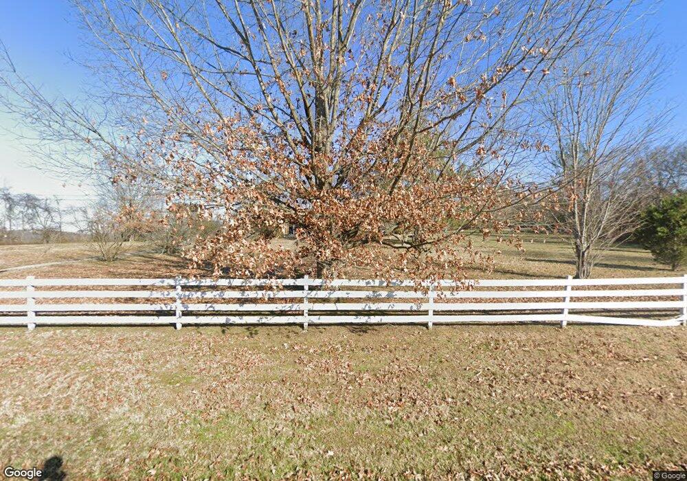
2071 Locust Grove Rd Lebanon, TN 37090
Estimated Value: $491,947 - $581,000
--
Bed
2
Baths
1,708
Sq Ft
$308/Sq Ft
Est. Value
About This Home
This home is located at 2071 Locust Grove Rd, Lebanon, TN 37090 and is currently estimated at $525,987, approximately $307 per square foot. 2071 Locust Grove Rd is a home located in Wilson County with nearby schools including Watertown Elementary School, Watertown Middle School, and Watertown High School.
Ownership History
Date
Name
Owned For
Owner Type
Purchase Details
Closed on
Sep 5, 2013
Sold by
Bates Wanda Mckee
Bought by
Mckee Alvin Carson and Mckee William Neal
Current Estimated Value
Purchase Details
Closed on
Jun 29, 2005
Sold by
Alvin Mckee
Bought by
Mckee Bates Wanda
Purchase Details
Closed on
Jun 20, 2005
Sold by
Alvin Mckee
Bought by
Mckee Bates Wanda
Purchase Details
Closed on
Feb 12, 2001
Sold by
Olean Bjorklund
Bought by
Alvin Mckee
Purchase Details
Closed on
Apr 23, 1987
Bought by
Bjorklund Duane L and Bjorklund Olean
Purchase Details
Closed on
May 20, 1985
Bought by
Conrad Eddie Tr
Create a Home Valuation Report for This Property
The Home Valuation Report is an in-depth analysis detailing your home's value as well as a comparison with similar homes in the area
Home Values in the Area
Average Home Value in this Area
Purchase History
| Date | Buyer | Sale Price | Title Company |
|---|---|---|---|
| Mckee Alvin Carson | -- | -- | |
| Mckee Alvin Carson | -- | -- | |
| Mckee Bates Wanda | -- | -- | |
| Mckee Bates Wanda | -- | -- | |
| Alvin Mckee | $170,000 | -- | |
| Bjorklund Duane L | -- | -- | |
| Conrad Eddie Tr | -- | -- |
Source: Public Records
Tax History Compared to Growth
Tax History
| Year | Tax Paid | Tax Assessment Tax Assessment Total Assessment is a certain percentage of the fair market value that is determined by local assessors to be the total taxable value of land and additions on the property. | Land | Improvement |
|---|---|---|---|---|
| 2024 | $1,548 | $81,100 | $41,450 | $39,650 |
| 2022 | $1,548 | $81,100 | $41,450 | $39,650 |
| 2021 | $1,548 | $81,100 | $41,450 | $39,650 |
| 2020 | $1,095 | $81,100 | $41,450 | $39,650 |
| 2019 | $1,095 | $43,475 | $23,700 | $19,775 |
| 2018 | $1,095 | $43,475 | $23,700 | $19,775 |
| 2017 | $1,095 | $43,475 | $23,700 | $19,775 |
| 2016 | $1,095 | $43,475 | $23,700 | $19,775 |
| 2015 | $1,117 | $43,475 | $23,700 | $19,775 |
| 2014 | $995 | $38,727 | $0 | $0 |
Source: Public Records
Map
Nearby Homes
- 745 Spring Creek Ln
- 346 Spring Creek Ln
- 1544 Eastover Rd
- 9245 Trousdale Ferry Pike
- 1039 Quail Meadow Dr
- 1043 Quail Meadow Dr
- 905 Mill Rd
- 1024 Quail Meadow Dr
- 667 Eastover Rd
- 1266 Poplar Hill Rd
- 1180 Poplar Hill Rd
- 124 Mill Rd
- 717 Peyton Rd
- 1556 Sparta Pike
- 7658 Linwood Rd
- 0 Eastover Rd Unit RTC2677879
- 1545 Carthage Hwy Unit 1545
- 1295 Sugar Flat Rd
- 1243 Sparta Pike
- 234 Draper Ln
- 2101 Locust Grove Rd
- 2040 Locust Grove Rd
- 2104 Locust Grove Rd
- 2016 Locust Grove Rd
- 2041 Locust Grove Rd
- 2241 Locust Grove Rd
- 1861 Locust Grove Rd
- 1892 Locust Grove Rd
- 4212 Bluebird Rd
- 2194 Locust Grove Rd
- 4249 Bluebird Rd
- 3980 Bluebird Rd
- 3980 Bluebird Rd
- 2134 Locust Grove Rd
- 1697 Locust Grove Rd
- 1740 Locust Grove Rd
- 3792 Bluebird Rd
- 385 Coe Ln
- 3762 Bluebird Rd
- 3686 Bluebird Rd
