20710 Minnie B Grant Ln NE Wyoming, MN 55092
Estimated Value: $524,560 - $594,000
3
Beds
3
Baths
1,588
Sq Ft
$347/Sq Ft
Est. Value
About This Home
This home is located at 20710 Minnie B Grant Ln NE, Wyoming, MN 55092 and is currently estimated at $551,140, approximately $347 per square foot. 20710 Minnie B Grant Ln NE is a home located in Anoka County with nearby schools including Linwood Elementary School and Forest Lake Area High School.
Ownership History
Date
Name
Owned For
Owner Type
Purchase Details
Closed on
Apr 13, 2012
Sold by
Yanta William J and Yanta Jeanne C
Bought by
Orne Thomas G
Current Estimated Value
Home Financials for this Owner
Home Financials are based on the most recent Mortgage that was taken out on this home.
Original Mortgage
$220,000
Outstanding Balance
$151,956
Interest Rate
3.91%
Mortgage Type
New Conventional
Estimated Equity
$399,184
Purchase Details
Closed on
Nov 30, 2001
Sold by
Leonard Curtis L and Leonard Neda L
Bought by
Casey Janette M and Carlson Sharon R
Create a Home Valuation Report for This Property
The Home Valuation Report is an in-depth analysis detailing your home's value as well as a comparison with similar homes in the area
Home Values in the Area
Average Home Value in this Area
Purchase History
| Date | Buyer | Sale Price | Title Company |
|---|---|---|---|
| Orne Thomas G | $275,000 | -- | |
| Casey Janette M | $309,900 | -- |
Source: Public Records
Mortgage History
| Date | Status | Borrower | Loan Amount |
|---|---|---|---|
| Open | Orne Thomas G | $220,000 |
Source: Public Records
Tax History Compared to Growth
Tax History
| Year | Tax Paid | Tax Assessment Tax Assessment Total Assessment is a certain percentage of the fair market value that is determined by local assessors to be the total taxable value of land and additions on the property. | Land | Improvement |
|---|---|---|---|---|
| 2025 | $4,629 | $486,100 | $120,300 | $365,800 |
| 2024 | $4,629 | $504,300 | $127,100 | $377,200 |
| 2023 | $4,005 | $506,100 | $120,500 | $385,600 |
| 2022 | $4,028 | $484,000 | $95,900 | $388,100 |
| 2021 | $4,055 | $418,800 | $82,400 | $336,400 |
| 2020 | $4,113 | $399,700 | $78,000 | $321,700 |
| 2019 | $4,122 | $391,500 | $67,700 | $323,800 |
| 2018 | $3,633 | $377,600 | $0 | $0 |
| 2017 | $3,740 | $344,000 | $0 | $0 |
| 2016 | $3,439 | $311,300 | $0 | $0 |
| 2015 | $2,713 | $311,300 | $53,500 | $257,800 |
| 2014 | -- | $239,200 | $45,400 | $193,800 |
Source: Public Records
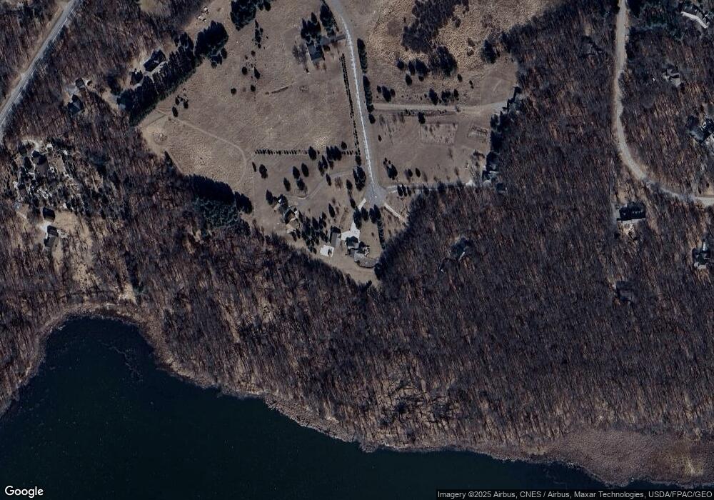
Map
Nearby Homes
- 20715 Minnie B Grant Ln NE
- 21205 Viking Blvd NE
- 5160 202nd Ln NE
- 6226 213th Ln NE
- 21087 National St NE
- lot 3 217th Ave NE
- 21061 Kissel St NE
- LOT 2 217th Ave NE
- lot 1 217th Ave NE
- 21795 Willys St NE
- L2,4XXX 217th Ave NE
- L1, XXXX 217th Ave NE
- 20136 Erskine St NE
- 20826 Austin St NE
- 21207 Tippecanoe St NE
- 21057 Tippecanoe St NE
- 21727 Unser St NE
- 20852 Okinawa St NE
- 4310 Channel Ln NE
- xxx Birch Rd
- 20720 Minnie B Grant Ln NE
- 20761 Minnie B Grant Ln NE
- 20830 Minnie B Grant Ln NE
- 20801 Minnie B Grant Ln NE
- 20845 Viking Blvd NE
- 5810 Cranberry Dr
- 20871 Minnie B Grant Ln NE
- 20715 Viking Blvd NE
- 5790 S Linwood Dr NE
- 20787 Viking Blvd NE
- 20880 Minnie B Grant Ln NE
- 20761 Viking Blvd NE
- 5840 Cranberry Dr
- 5807 Cranberry Dr
- 20917 Minnie B Grant Ln NE
- 5720 S Linwood Dr NE
- 5841 Cranberry Dr
- 20925 Minnie B Grant Ln NE
- 5840 S Linwood Dr NE
- 5861 Cranberry Dr