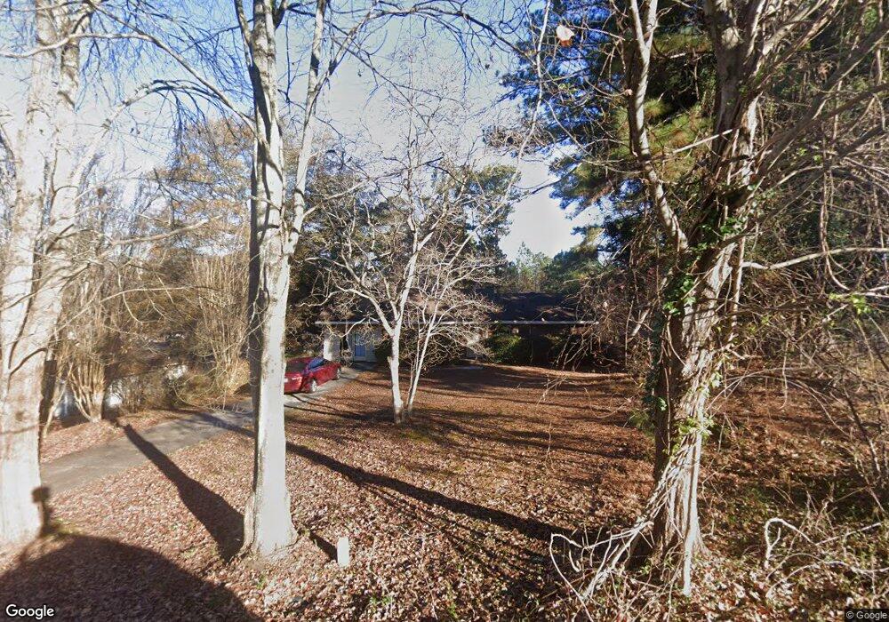
2072 Cedar Cir Buford, GA 30518
Buford AreaEstimated Value: $291,000 - $390,000
About This Home
This home is located at 2072 Cedar Cir, Buford, GA 30518 and is currently estimated at $345,051, approximately $315 per square foot. 2072 Cedar Cir is a home with nearby schools including White Oak Elementary School, Lanier Middle School, and Lanier High School.
Ownership History
We collect this data history from publicly available records. To have your information removed, we recommend requesting removal directly through your county’s website.
Purchase Details
Home Values in the Area
Average Home Value in this Area
Purchase History
We collect this data history from publicly available records. To have your information removed, we recommend requesting removal directly through your county’s website.
| Date | Buyer | Sale Price | Title Company |
|---|---|---|---|
| $103,000 | -- |
Tax History
We collect this data history from publicly available records. To have your information removed, we recommend requesting removal directly through your county’s website.
| Year | Tax Paid | Tax Assessment Tax Assessment Total Assessment is a certain percentage of the fair market value that is determined by local assessors to be the total taxable value of land and additions on the property. | Land | Improvement |
|---|---|---|---|---|
| 2025 | $3,875 | $101,000 | $40,000 | $61,000 |
| 2024 | $3,513 | $89,600 | $18,000 | $71,600 |
| 2023 | $3,513 | $89,600 | $18,000 | $71,600 |
| 2022 | $3,011 | $76,560 | $18,000 | $58,560 |
| 2021 | $1,837 | $42,960 | $13,600 | $29,360 |
| 2020 | $1,845 | $42,960 | $13,600 | $29,360 |
| 2019 | $1,783 | $42,960 | $13,600 | $29,360 |
| 2018 | $1,778 | $42,960 | $13,600 | $29,360 |
| 2016 | $1,797 | $42,960 | $13,600 | $29,360 |
| 2015 | $1,647 | $38,160 | $13,600 | $24,560 |
| 2014 | -- | $38,160 | $13,600 | $24,560 |
Map
- 1930 Lanier Harbor Point
- 1939 Lanier Harbor Point
- 2075 Pine Tree Dr Unit A3
- 2075 Pine Tree Dr Unit B2
- 1102 Pine Tree Dr
- 6219 Woodlake Dr
- 5984 Dolvin Ln
- 5920 Branden Hill Ln
- 6277 Lakeview Dr
- 6014 Lake Lanier Heights Rd
- 1888 Buford Dam Rd
- 6103 Lake Lanier Heights Rd
- 2045 Buford Dam Rd
- 5730 Elm Tree Dr
- 6321 Lakeview Dr
- 6085 Lake Windsor Pkwy Unit 2
- 2078 Sidney Cove Ct
- 1854 Buford Dam Rd
- 1860 Buford Dam Rd
- 6381 Lakeview Dr
- 6093 Dogwood Cir
- 6093 Dogwood Cir Unit 9
- 2082 Cedar Cir
- 3154 Cedar Gate Ln
- 6105 Dogwood Cir
- 2083 Cedar Cir
- Lot 13 Dogwood Cir
- 2073 Cedar Cir
- 6218 Lanier Harbor Landing
- 6077 Dogwood Cir Unit 1
- 6094 Dogwood Cir Unit 1
- 6102 Dogwood Cir
- 6086 Dogwood Cir
- 6117 Dogwood Cir
- 6065 Dogwood Cir
- 6065 Dogwood Cir Unit 1/3
- 6065 Dogwood Cir Unit 3
- 6110 Dogwood Cir
- 6078 Dogwood Cir
- 1970 Lanier Harbor Landing
Ask me questions while you tour the home.