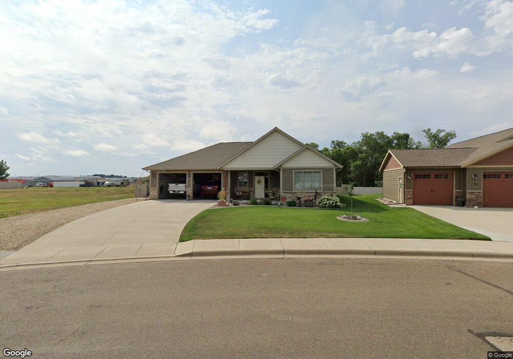
2072 Dennys St Dickinson, ND 58601
Estimated Value: $447,412 - $537,000
3
Beds
1
Bath
1,738
Sq Ft
$276/Sq Ft
Est. Value
About This Home
This home is located at 2072 Dennys St, Dickinson, ND 58601 and is currently estimated at $479,471, approximately $275 per square foot. 2072 Dennys St is a home with nearby schools including Trinity Elementary School West, Trinity Elementary School East, and St. Joseph School.
Ownership History
Date
Name
Owned For
Owner Type
Purchase Details
Closed on
Sep 1, 2015
Sold by
R & R Investments Of Central Minnesota L
Bought by
Keeney Jeffrey L and Keeney Theresa A
Current Estimated Value
Home Financials for this Owner
Home Financials are based on the most recent Mortgage that was taken out on this home.
Original Mortgage
$65,000
Outstanding Balance
$50,274
Interest Rate
3.87%
Mortgage Type
Adjustable Rate Mortgage/ARM
Estimated Equity
$429,197
Create a Home Valuation Report for This Property
The Home Valuation Report is an in-depth analysis detailing your home's value as well as a comparison with similar homes in the area
Home Values in the Area
Average Home Value in this Area
Purchase History
| Date | Buyer | Sale Price | Title Company |
|---|---|---|---|
| Keeney Jeffrey L | -- | None Available |
Source: Public Records
Mortgage History
| Date | Status | Borrower | Loan Amount |
|---|---|---|---|
| Open | Keeney Jeffrey L | $65,000 |
Source: Public Records
Tax History
| Year | Tax Paid | Tax Assessment Tax Assessment Total Assessment is a certain percentage of the fair market value that is determined by local assessors to be the total taxable value of land and additions on the property. | Land | Improvement |
|---|---|---|---|---|
| 2025 | $1,245 | $324,100 | $51,600 | $272,500 |
| 2024 | $2,224 | $324,100 | $51,600 | $272,500 |
| 2023 | $2,211 | $324,100 | $51,600 | $272,500 |
| 2022 | $3,030 | $152,300 | $0 | $0 |
| 2021 | $2,946 | $286,400 | $51,600 | $234,800 |
| 2020 | $2,987 | $286,400 | $51,600 | $234,800 |
| 2019 | $2,995 | $286,400 | $51,600 | $234,800 |
| 2017 | $254 | $286,400 | $51,600 | $234,800 |
| 2015 | $254 | $26,100 | $26,100 | $0 |
| 2014 | $274 | $26,100 | $26,100 | $0 |
| 2013 | -- | $26,100 | $26,100 | $0 |
Source: Public Records
Map
Nearby Homes
- 881 Mustang Ave
- 816 17th Ave E
- 873 25th Ave E
- 0 Lot 1 Block 5 East Dale 4th Unit 25-1094
- 0 14th Ave E Unit 24-492
- 0 Unit 25-1093
- 1377 8th St E
- 1161 6th St E
- 0 Lot 3 Block 5 East Dale 4th Unit 25-1092
- 390 Baker Ave
- 0 17 65 Acres
- 263 Adams Ave
- 0 9th St E
- 930 Shinagle Dr
- 977 Shinagle Dr
- 858 Elm Ave
- 127 8th Ave E
- 891 Dell Ave
- 0 7th Ave E
- 687 Custer St
- 2050 Dennys St
- 2026 Dennys St
- 785 Pheasant Run Ave
- 762 Pheasant Run Ave
- 2004 Dennys St
- 0 Dennys St
- 0 Dennys St
- 0 Dennys St
- 811 Pheasant Run Ave
- 808 Pheasant Run Ave
- 673 22nd Ave E
- 1974 Dennys St
- 694 20th Ave E
- 721 22nd Ave E
- 1952 Canyon Dr
- 1964 Canyon Dr
- 833 Pheasant Run Ave
- 830 Pheasant Run Ave
- 801 22nd Ave E
- 1950 Dennys St
Your Personal Tour Guide
Ask me questions while you tour the home.