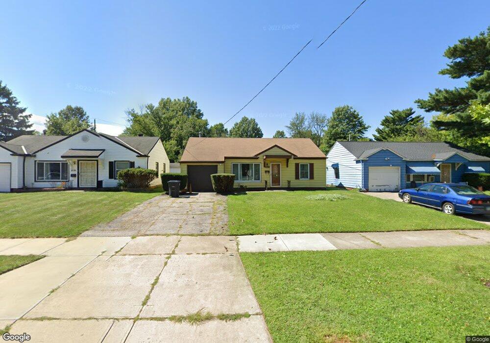
2072 Green Rd Cleveland, OH 44121
Euclid-Green NeighborhoodEstimated Value: $89,937 - $128,000
3
Beds
1
Bath
977
Sq Ft
$107/Sq Ft
Est. Value
About This Home
This home is located at 2072 Green Rd, Cleveland, OH 44121 and is currently estimated at $104,234, approximately $106 per square foot. 2072 Green Rd is a home located in Cuyahoga County with nearby schools including Bolton, Anton Grdina School, and Adlai Stevenson School.
Ownership History
Date
Name
Owned For
Owner Type
Purchase Details
Closed on
Oct 18, 2001
Sold by
Lange Andrew F
Bought by
Smith Mitchell L
Current Estimated Value
Home Financials for this Owner
Home Financials are based on the most recent Mortgage that was taken out on this home.
Original Mortgage
$69,882
Outstanding Balance
$26,814
Interest Rate
6.62%
Mortgage Type
FHA
Estimated Equity
$77,420
Purchase Details
Closed on
Oct 25, 1991
Sold by
Lange Andrew F
Bought by
Lange Andrew F
Purchase Details
Closed on
Aug 5, 1991
Sold by
Lange Andrew F
Bought by
Lange Andrew F
Purchase Details
Closed on
Apr 2, 1985
Sold by
Lange Andrew F and Lange Lillian M
Bought by
Lange Andrew F
Purchase Details
Closed on
Jan 1, 1975
Bought by
Lange Andrew F and Lange Lillian M
Create a Home Valuation Report for This Property
The Home Valuation Report is an in-depth analysis detailing your home's value as well as a comparison with similar homes in the area
Home Values in the Area
Average Home Value in this Area
Purchase History
| Date | Buyer | Sale Price | Title Company |
|---|---|---|---|
| Smith Mitchell L | $71,000 | -- | |
| Lange Andrew F | -- | -- | |
| Lange Andrew F | -- | -- | |
| Lange Andrew F | -- | -- | |
| Lange Andrew F | -- | -- |
Source: Public Records
Mortgage History
| Date | Status | Borrower | Loan Amount |
|---|---|---|---|
| Open | Smith Mitchell L | $69,882 |
Source: Public Records
Tax History Compared to Growth
Tax History
| Year | Tax Paid | Tax Assessment Tax Assessment Total Assessment is a certain percentage of the fair market value that is determined by local assessors to be the total taxable value of land and additions on the property. | Land | Improvement |
|---|---|---|---|---|
| 2024 | $1,460 | $22,260 | $4,585 | $17,675 |
| 2023 | $959 | $12,640 | $2,490 | $10,150 |
| 2022 | $953 | $12,640 | $2,490 | $10,150 |
| 2021 | $944 | $12,640 | $2,490 | $10,150 |
| 2020 | $910 | $10,540 | $2,070 | $8,470 |
| 2019 | $842 | $30,100 | $5,900 | $24,200 |
| 2018 | $839 | $10,540 | $2,070 | $8,470 |
| 2017 | $1,060 | $12,850 | $1,650 | $11,200 |
| 2016 | $1,051 | $12,850 | $1,650 | $11,200 |
| 2015 | $1,086 | $12,850 | $1,650 | $11,200 |
| 2014 | $1,086 | $13,230 | $1,680 | $11,550 |
Source: Public Records
Map
Nearby Homes
- 18132 Weston Rd
- 2017 Natona Rd
- 2110 Miami Rd
- 1930 Seneca Rd
- 2536 Greenvale Rd
- 2545 Greenvale Rd
- 1897 Torbenson Dr
- 3803 Bridgeview Dr
- 19151 Genesee Rd
- 2150 Glenridge Rd
- 3595 Runnymede Blvd
- 1738 Cliffview Rd
- 1738 Burgess Rd
- 1809 Pontiac Dr
- 1707 Catalpa Rd
- 4031 Suffolk Rd
- 693 Quilliams Rd
- 18001 Olympia Rd
- 1682 Cliffview Rd
- 3927 Princeton Blvd