20721 Darren Dr Unit 2363 Bayside, NY 11360
Bayside NeighborhoodEstimated Value: $790,430 - $839,000
--
Bed
--
Bath
1,205
Sq Ft
$686/Sq Ft
Est. Value
About This Home
This home is located at 20721 Darren Dr Unit 2363, Bayside, NY 11360 and is currently estimated at $826,358, approximately $685 per square foot. 20721 Darren Dr Unit 2363 is a home located in Queens County with nearby schools including P.S. 209 - Clearview Gardens, J.H.S. 194 William Carr, and Bayside High School.
Ownership History
Date
Name
Owned For
Owner Type
Purchase Details
Closed on
Jan 8, 2021
Sold by
Yang Yongping
Bought by
Dai Yufang Susan and Yang Yongping
Current Estimated Value
Purchase Details
Closed on
May 29, 2012
Sold by
Lam Jenita and Lam Wing H
Bought by
Yang Yongping
Purchase Details
Closed on
Mar 15, 2002
Sold by
Shao Jimmy and Weng Cui Fen
Bought by
Lam Wing H and Lam Jenita
Purchase Details
Closed on
Aug 10, 2001
Sold by
Brisam Corp
Bought by
Shao Jimmy and Weng Cui Fen
Home Financials for this Owner
Home Financials are based on the most recent Mortgage that was taken out on this home.
Original Mortgage
$260,000
Interest Rate
6.99%
Mortgage Type
Purchase Money Mortgage
Purchase Details
Closed on
Dec 14, 2000
Sold by
Usak Paul
Bought by
Brisam Corp
Home Financials for this Owner
Home Financials are based on the most recent Mortgage that was taken out on this home.
Original Mortgage
$240,000
Interest Rate
7.69%
Mortgage Type
Stand Alone First
Create a Home Valuation Report for This Property
The Home Valuation Report is an in-depth analysis detailing your home's value as well as a comparison with similar homes in the area
Home Values in the Area
Average Home Value in this Area
Purchase History
| Date | Buyer | Sale Price | Title Company |
|---|---|---|---|
| Dai Yufang Susan | -- | -- | |
| Yang Yongping | $595,000 | -- | |
| Lam Wing H | -- | -- | |
| Shao Jimmy | $380,000 | Fidelity National Title Ins | |
| Brisam Corp | $360,000 | Fidelity National Title Ins |
Source: Public Records
Mortgage History
| Date | Status | Borrower | Loan Amount |
|---|---|---|---|
| Previous Owner | Shao Jimmy | $260,000 | |
| Previous Owner | Brisam Corp | $240,000 |
Source: Public Records
Tax History Compared to Growth
Tax History
| Year | Tax Paid | Tax Assessment Tax Assessment Total Assessment is a certain percentage of the fair market value that is determined by local assessors to be the total taxable value of land and additions on the property. | Land | Improvement |
|---|---|---|---|---|
| 2025 | $3,479 | $34,906 | $3,146 | $31,760 |
| 2024 | $3,479 | $34,642 | $3,413 | $31,229 |
| 2023 | $6,564 | $32,682 | $2,783 | $29,899 |
| 2022 | $6,155 | $41,727 | $3,810 | $37,917 |
| 2021 | $6,122 | $37,440 | $3,810 | $33,630 |
| 2020 | $6,157 | $37,519 | $3,810 | $33,709 |
| 2019 | $6,011 | $38,084 | $3,810 | $34,274 |
| 2018 | $5,552 | $27,235 | $2,721 | $24,514 |
| 2017 | $5,238 | $25,694 | $2,621 | $23,073 |
| 2016 | $4,846 | $25,694 | $2,621 | $23,073 |
| 2015 | $2,704 | $24,240 | $3,243 | $20,997 |
| 2014 | $2,704 | $24,057 | $3,240 | $20,817 |
Source: Public Records
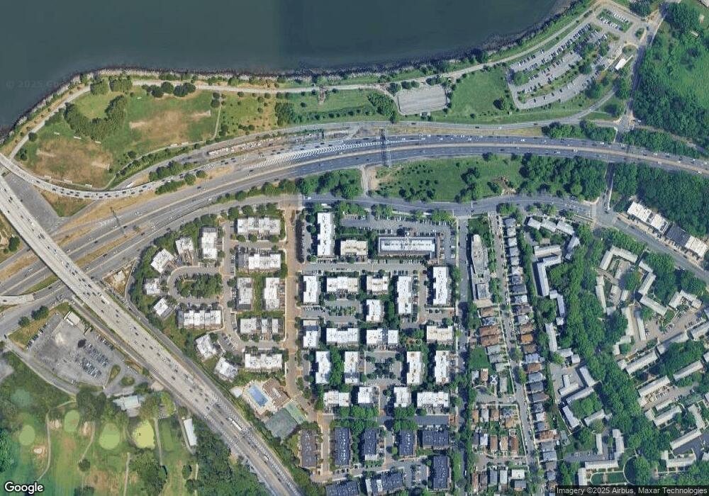
Map
Nearby Homes
- 20607 Emily Rd Unit 3
- 12-30 Estates Ln Unit 2
- 12-36 Estates Ln Unit 49 L
- 12-32 Diane Place Unit 204L
- 12-31 Robin Ln Unit Triplex
- 12-34 Diane Place Unit 205 U
- 12-35 Robin Ln Unit Upper
- 12-06 Robin Ln Unit 1028
- 13-25 Estates Ln Unit 3F
- 208-06 Robert Rd Unit 2
- 1338 Robin Ln Unit 1212
- 14-04 Michael Place Unit 113 U
- 14-14 Bonnie Ln
- 1404 Bonnie Ln Unit 15803
- 208-08 Estates Dr Unit 22125
- 15-01 Jordan Ct Unit 104 U
- 13-10 212th St Unit 118
- 13-40 212th St Unit 141
- 210 E 15th St Unit 2N
- 210 E 15th St Unit 1A
- 20721 Darren Dr
- 20721 Darren Dr Unit 236L
- 207-21 Darren Dr Unit 236L
- 20719 Darren Dr
- 20719 Darren Dr
- 20719 Darren Dr
- 20723 Darren Dr
- 20723 Darren Dr
- 20723 Darren Dr Unit 3
- 207-23 Darren Dr Unit 235-M
- 207-23 Darren Dr
- 207-23 Darren Dr Unit 235L
- 207-19 Darren Dr
- 207-19 Darren Dr Unit 1st.Fl
- 20725 Darren Dr
- 20725 Darren Dr
- 20725 Darren Dr
- 207-25 Darren Dr Unit 234 L
- 20717 Darren Dr
- 20717 Darren Dr