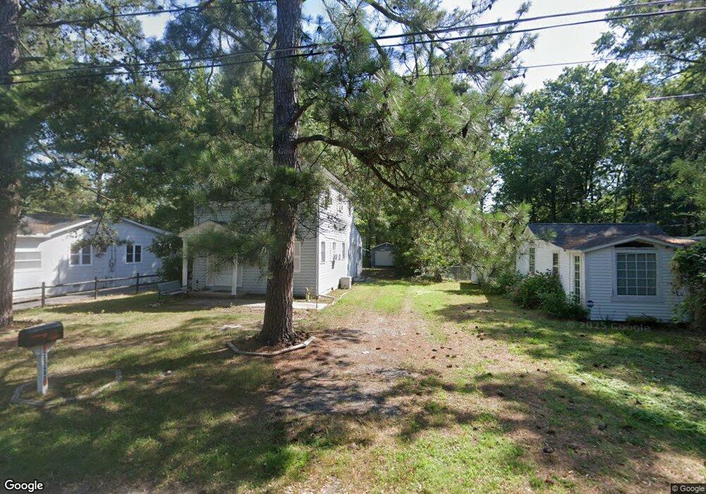
20722 Bayside Ave Rock Hall, MD 21661
Estimated Value: $267,000 - $380,000
--
Bed
2
Baths
1,200
Sq Ft
$273/Sq Ft
Est. Value
About This Home
This home is located at 20722 Bayside Ave, Rock Hall, MD 21661 and is currently estimated at $328,182, approximately $273 per square foot. 20722 Bayside Ave is a home located in Kent County with nearby schools including Center for Innovation, Kent County Middle School, and Kent County High School.
Ownership History
Date
Name
Owned For
Owner Type
Purchase Details
Closed on
Aug 24, 1999
Sold by
Bloomgarden Barclay H and Bloomgarden Brenda
Bought by
Aronson Carl E and Aronson Marjorie B
Current Estimated Value
Purchase Details
Closed on
Feb 25, 1997
Sold by
Bell David O and Bell Linda I
Bought by
Bloomgarden Barclay H and Bloomgarden Brenda
Purchase Details
Closed on
Nov 9, 1987
Sold by
Golish Edward S and Golish Tara L
Bought by
Bell David O and Bell Linda I
Create a Home Valuation Report for This Property
The Home Valuation Report is an in-depth analysis detailing your home's value as well as a comparison with similar homes in the area
Home Values in the Area
Average Home Value in this Area
Purchase History
| Date | Buyer | Sale Price | Title Company |
|---|---|---|---|
| Aronson Carl E | $79,900 | -- | |
| Bloomgarden Barclay H | $65,000 | -- | |
| Bell David O | $60,000 | -- |
Source: Public Records
Tax History Compared to Growth
Tax History
| Year | Tax Paid | Tax Assessment Tax Assessment Total Assessment is a certain percentage of the fair market value that is determined by local assessors to be the total taxable value of land and additions on the property. | Land | Improvement |
|---|---|---|---|---|
| 2025 | $2,866 | $189,300 | $0 | $0 |
| 2024 | $2,487 | $163,200 | $80,600 | $82,600 |
| 2023 | $2,421 | $162,100 | $0 | $0 |
| 2022 | $2,421 | $161,000 | $0 | $0 |
| 2021 | $2,350 | $159,900 | $80,600 | $79,300 |
| 2020 | $2,350 | $159,433 | $0 | $0 |
| 2019 | $2,305 | $158,967 | $0 | $0 |
| 2018 | $2,305 | $158,500 | $80,600 | $77,900 |
| 2017 | $2,305 | $158,500 | $0 | $0 |
| 2016 | -- | $158,500 | $0 | $0 |
| 2015 | -- | $158,800 | $0 | $0 |
| 2014 | $2,482 | $158,800 | $0 | $0 |
Source: Public Records
Map
Nearby Homes
- 5750 Walnut St
- 5697 Walnut St
- 5980 Lawton Ave
- #2 Lawton Ave
- 6119 New St Unit 2
- 5791 S Hawthorne Ave
- 21090 W Sharp St Unit 133
- 21090 W Sharp St Unit 112
- 21119 Striper Run
- 21163 Chesapeake Ave
- 21131 Striper Run
- 21133 Striper Run
- 21139 Striper Run
- 21141 Striper Run
- 5829 N Main St
- 5686 S Main St
- 21305 Haven Rd
- 5898 Williams St
- 21332 E Sharp St
- 21336 Haven Rd
- 20718 Bayside Ave
- 20726 Bayside Ave
- 20730 Bayside Ave
- 20723 Mercer Ave
- 5772 Bay Rd
- 5767 Bay Rd
- 20747 Mercer Ave
- 20736 Bayside Ave
- 20713 Bayside Ave
- 20753 Mercer Ave
- 20709 Bayside Ave
- 20733 Bayside Ave
- 20702 Bayside Ave
- 0 Mercer Ave
- 20759 Mercer Ave
- 20705 Bayside Ave
- 20737 Bayside Ave
- 5759 Beach Rd
- 5763 Beach Rd
- 20726 Mercer Ave