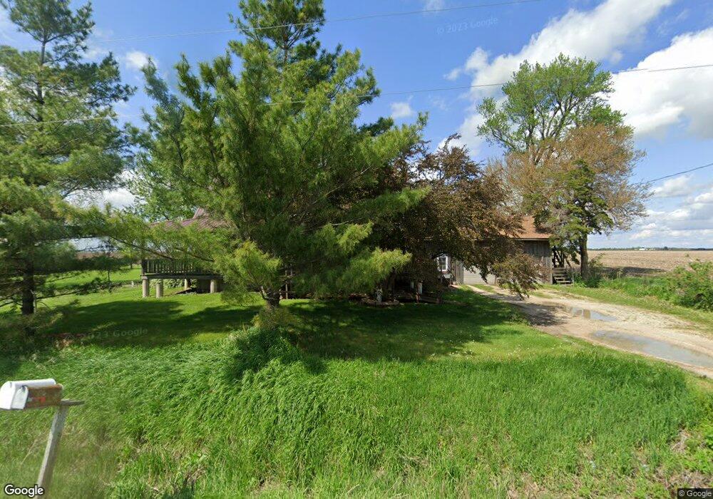
2073 Highway 16 West Point, IA 52656
Estimated Value: $234,000 - $323,191
5
Beds
3
Baths
2,876
Sq Ft
$103/Sq Ft
Est. Value
About This Home
This home is located at 2073 Highway 16, West Point, IA 52656 and is currently estimated at $296,048, approximately $102 per square foot. 2073 Highway 16 is a home with nearby schools including Fort Madison High School and Holy Trinity Catholic Elementary-St. Paul.
Create a Home Valuation Report for This Property
The Home Valuation Report is an in-depth analysis detailing your home's value as well as a comparison with similar homes in the area
Home Values in the Area
Average Home Value in this Area
Tax History Compared to Growth
Tax History
| Year | Tax Paid | Tax Assessment Tax Assessment Total Assessment is a certain percentage of the fair market value that is determined by local assessors to be the total taxable value of land and additions on the property. | Land | Improvement |
|---|---|---|---|---|
| 2024 | $3,630 | $307,010 | $25,740 | $281,270 |
| 2023 | $3,516 | $307,010 | $25,740 | $281,270 |
| 2022 | $3,032 | $238,540 | $25,350 | $213,190 |
| 2021 | $3,032 | $238,540 | $25,350 | $213,190 |
| 2020 | $3,070 | $225,370 | $26,870 | $198,500 |
| 2019 | $2,990 | $225,370 | $26,870 | $198,500 |
| 2018 | $3,078 | $213,510 | $0 | $0 |
| 2017 | $3,078 | $203,660 | $0 | $0 |
| 2016 | $2,808 | $203,660 | $0 | $0 |
| 2015 | $2,808 | $201,210 | $0 | $0 |
| 2014 | $2,822 | $201,210 | $0 | $0 |
Source: Public Records
Map
Nearby Homes
- 1794 150th St
- 1847 Salem Rd
- 2280 Windmill Way
- 811 Avenue C
- 607 Bel Air Dr
- 3035 New London Rd
- 2532 305th St
- 307 E School St
- 2257 Burt Rd
- 00 180th St
- 2370 290th St
- 2928 Graham Ave
- 2113 204th Ave
- 2667 Lexington Ave
- 19774 Country Road 79
- 2656 Nebraska Ave
- 808 Park St
- 603 Fruit St
- 808 Pershing St
- 720 Pershing St