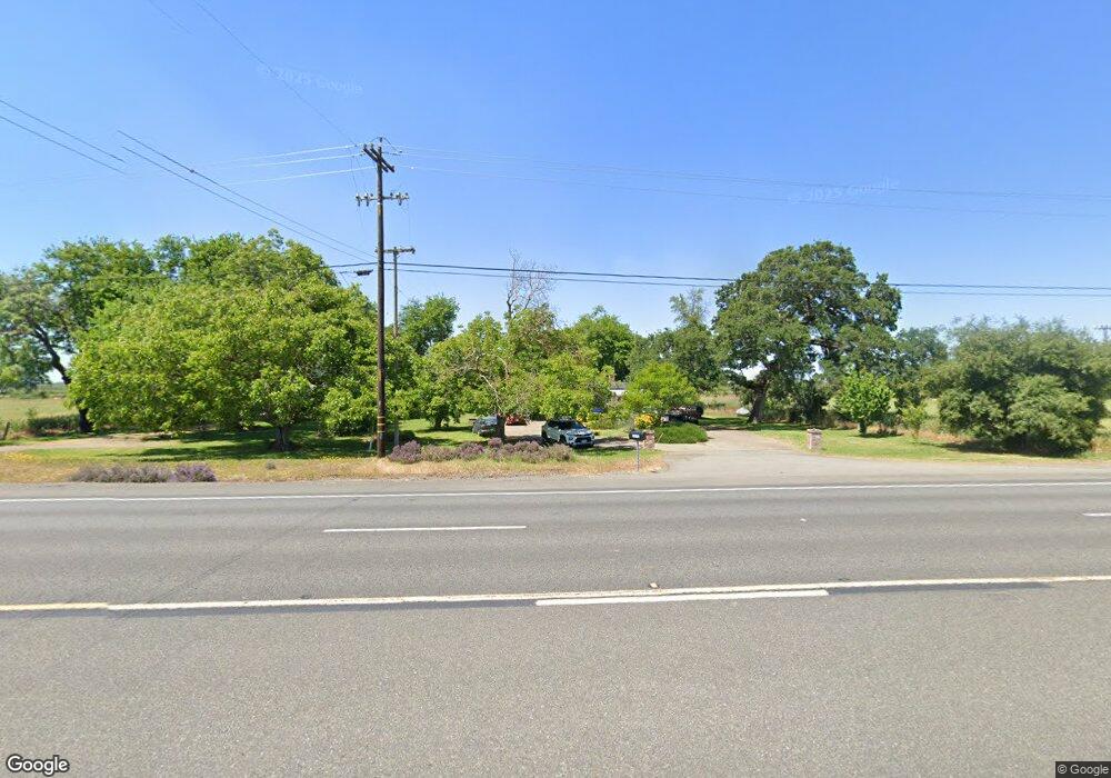
2073 State Highway 70 Oroville, CA 95965
Estimated Value: $233,000 - $364,000
3
Beds
1
Bath
1,519
Sq Ft
$206/Sq Ft
Est. Value
About This Home
This home is located at 2073 State Highway 70, Oroville, CA 95965 and is currently estimated at $313,576, approximately $206 per square foot. 2073 State Highway 70 is a home located in Butte County with nearby schools including Wilson Elementary School, McKinley Elementary School, and Sycamore Middle School.
Ownership History
Date
Name
Owned For
Owner Type
Purchase Details
Closed on
Nov 21, 2013
Sold by
Stanton Margaret Ann
Bought by
Vieira Jacqueline C and Vieira Steven M
Current Estimated Value
Home Financials for this Owner
Home Financials are based on the most recent Mortgage that was taken out on this home.
Original Mortgage
$122,100
Outstanding Balance
$91,056
Interest Rate
4.23%
Mortgage Type
FHA
Estimated Equity
$222,520
Purchase Details
Closed on
Jun 22, 2012
Sold by
Stanton Jerry and Stanton Margaret Ann
Bought by
Stanton Margaret Ann
Create a Home Valuation Report for This Property
The Home Valuation Report is an in-depth analysis detailing your home's value as well as a comparison with similar homes in the area
Home Values in the Area
Average Home Value in this Area
Purchase History
| Date | Buyer | Sale Price | Title Company |
|---|---|---|---|
| Vieira Jacqueline C | $143,000 | Mid Valley Title & Escrow Co | |
| Stanton Margaret Ann | -- | None Available |
Source: Public Records
Mortgage History
| Date | Status | Borrower | Loan Amount |
|---|---|---|---|
| Open | Vieira Jacqueline C | $122,100 |
Source: Public Records
Tax History Compared to Growth
Tax History
| Year | Tax Paid | Tax Assessment Tax Assessment Total Assessment is a certain percentage of the fair market value that is determined by local assessors to be the total taxable value of land and additions on the property. | Land | Improvement |
|---|---|---|---|---|
| 2025 | $1,874 | $175,286 | $67,415 | $107,871 |
| 2024 | $1,874 | $171,850 | $66,094 | $105,756 |
| 2023 | $1,864 | $168,482 | $64,799 | $103,683 |
| 2022 | $4,640 | $165,179 | $63,529 | $101,650 |
| 2021 | $4,600 | $161,941 | $62,284 | $99,657 |
| 2020 | $4,598 | $160,282 | $61,646 | $98,636 |
| 2019 | $4,565 | $157,140 | $60,438 | $96,702 |
| 2018 | $1,644 | $154,059 | $59,253 | $94,806 |
| 2017 | $1,614 | $151,040 | $58,092 | $92,948 |
| 2016 | $1,550 | $148,079 | $56,953 | $91,126 |
| 2015 | $1,522 | $145,856 | $56,098 | $89,758 |
| 2014 | $1,493 | $143,000 | $55,000 | $88,000 |
Source: Public Records
Map
Nearby Homes
- 0 Cox Ln Unit OR19116551
- 1427 E Gridley Rd
- 633 Cox Ln
- 0 Lone Tree Rd Unit 225067140
- 0 Lone Tree Rd Unit 19988718
- 0 Lone Tree Rd Unit 24639771
- 2491 Larkin Rd
- 442 E Gridley Rd
- 771 Central House Rd
- 774 Lattin Rd
- 3098 Don Rd
- 249 Jem Rd
- 310 E Gridley Rd
- 1391 Cox Ln
- 25120 Drake Ave
- 8972 Palermo Honcut Hwy
- 152 E Gridley Rd
- 0 Palermo Honcut Hwy Unit OR24215458
- 0 Palermo-Honcut Hwy
- 222 E Gridley Rd
- 2065 State Highway 70
- 0 Cox Ln Unit CROR19117378
- 0 Cox Ln Unit CROR19116551
- 0 Cox Ln Unit 201804155
- 0 Cox Ln Unit 201802870
- 0 Cox Ln Unit 200804096
- 0 Cox Ln Unit OR21116265
- 0 Cox Ln Unit 19035096
- 28 Cox Ln
- 2027 State Highway 70
- 0 California 70
- 2099 State Highway 70
- 191 Watt Ln
- 1792 State Highway 70
- 171 Watt Ln
- 294 Cox Ln
- 188 Watt Ln
- 106 Stimpson Rd
- 54 Stimpson Rd
- 88 Stimpson Rd