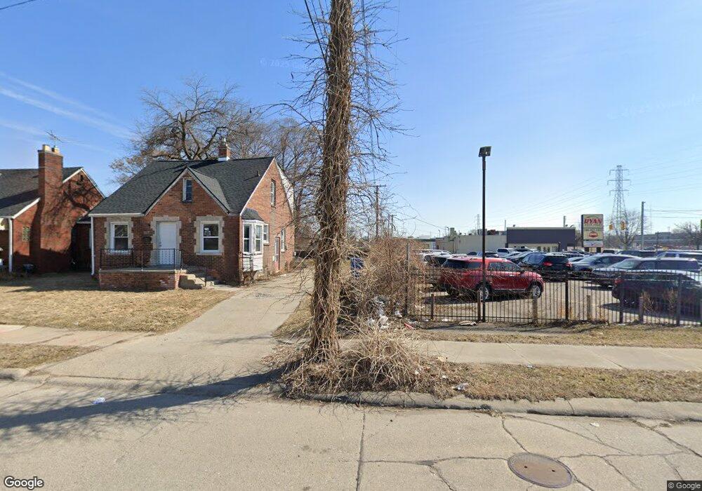
20734 Dean St Warren, MI 48091
Southwest Warren NeighborhoodEstimated Value: $148,244 - $181,000
--
Bed
2
Baths
1,170
Sq Ft
$136/Sq Ft
Est. Value
About This Home
This home is located at 20734 Dean St, Warren, MI 48091 and is currently estimated at $158,561, approximately $135 per square foot. 20734 Dean St is a home located in Macomb County with nearby schools including Schofield Elementary School, Mound Park Elementary School, and Westview Elementary School.
Ownership History
Date
Name
Owned For
Owner Type
Purchase Details
Closed on
Oct 7, 2005
Sold by
Grady Brian W and Grady Katherine M
Bought by
Dixon Merrell and Dixon Donna M
Current Estimated Value
Home Financials for this Owner
Home Financials are based on the most recent Mortgage that was taken out on this home.
Original Mortgage
$112,500
Outstanding Balance
$71,490
Interest Rate
8.9%
Mortgage Type
Fannie Mae Freddie Mac
Estimated Equity
$87,071
Purchase Details
Closed on
Dec 21, 2001
Sold by
Ralph R Roberts Real Est
Bought by
Grady Brian W
Create a Home Valuation Report for This Property
The Home Valuation Report is an in-depth analysis detailing your home's value as well as a comparison with similar homes in the area
Home Values in the Area
Average Home Value in this Area
Purchase History
| Date | Buyer | Sale Price | Title Company |
|---|---|---|---|
| Dixon Merrell | $125,000 | -- | |
| Grady Brian W | $115,000 | -- |
Source: Public Records
Mortgage History
| Date | Status | Borrower | Loan Amount |
|---|---|---|---|
| Open | Dixon Merrell | $112,500 |
Source: Public Records
Tax History Compared to Growth
Tax History
| Year | Tax Paid | Tax Assessment Tax Assessment Total Assessment is a certain percentage of the fair market value that is determined by local assessors to be the total taxable value of land and additions on the property. | Land | Improvement |
|---|---|---|---|---|
| 2025 | $1,465 | $60,800 | $0 | $0 |
| 2024 | $1,426 | $56,990 | $0 | $0 |
| 2023 | $1,460 | $49,980 | $0 | $0 |
| 2022 | $1,332 | $42,970 | $0 | $0 |
| 2021 | $1,324 | $40,530 | $0 | $0 |
| 2020 | $1,265 | $32,610 | $0 | $0 |
| 2019 | $1,268 | $27,560 | $0 | $0 |
| 2018 | $33 | $25,060 | $0 | $0 |
| 2017 | $1,127 | $24,510 | $3,030 | $21,480 |
| 2016 | $1,102 | $24,510 | $0 | $0 |
| 2015 | -- | $24,230 | $0 | $0 |
| 2013 | $2,315 | $20,190 | $0 | $0 |
Source: Public Records
Map
Nearby Homes
- 20731 Bartholomaei Ave
- 20499 Binder St
- 21044 Sunset Ave
- 20270 Dean Ave
- 20246 Binder St
- 20499 Yonka St
- 20201 Dean St
- 21299 Sunset Ave
- 3900 Berkshire Ave
- 20201 Yonka St
- 20161 Yonka St
- 20100 Wexford St
- 20491 Klinger St
- 20138 Norwood St
- 20120 Norwood St
- 20209 Revere St
- 3641 Berkshire Ave
- 19942 Binder St
- 3925 Toepfer Rd
- 20156 Gallagher St
- 20744 Dean St
- 20745 Sunset Ave
- 20741 Dean St
- 20770 Dean St
- 20773 Sunset Ave
- 20753 Dean St
- 20765 Dean St
- 20793 Sunset Ave
- 20778 Dean St
- 20777 Dean St
- 20811 Sunset Ave
- 20774 Sunset Ave
- 20789 Dean St
- 20796 Sunset Ave
- 20816 Dean St
- 20815 Dean St
- 4130 E 8 Mile Rd
- 20861 Sunset Ave
- 20816 Sunset Ave
- 20868 Dean St