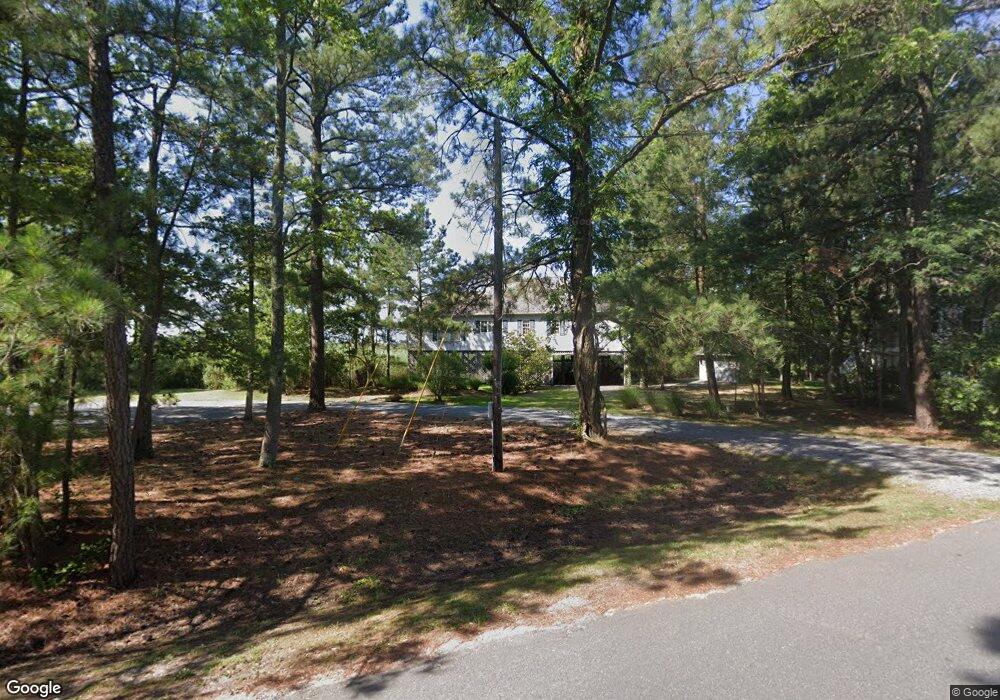
20739 Bayside Ave Rock Hall, MD 21661
Estimated Value: $401,000 - $640,000
--
Bed
3
Baths
2,025
Sq Ft
$266/Sq Ft
Est. Value
About This Home
This home is located at 20739 Bayside Ave, Rock Hall, MD 21661 and is currently estimated at $538,104, approximately $265 per square foot. 20739 Bayside Ave is a home located in Kent County with nearby schools including Center for Innovation, Kent County Middle School, and Kent County High School.
Ownership History
Date
Name
Owned For
Owner Type
Purchase Details
Closed on
Oct 6, 2018
Sold by
Cristofalo Margaret F and The Estate Of Vincent J Cristo
Bought by
Cristofalo Margaret F
Current Estimated Value
Purchase Details
Closed on
Mar 13, 1998
Sold by
Alderfer Gill R and Alderfer Mary K
Bought by
Cristofalo Vincent J and Cristofalo Margaret F
Purchase Details
Closed on
May 10, 1993
Sold by
Tate James E and Tate Barbara A
Bought by
Alderfer Gill R and Alderfer Mary K
Purchase Details
Closed on
Mar 12, 1987
Sold by
Maas Peter
Bought by
Tate James E and Tate Barbara A
Create a Home Valuation Report for This Property
The Home Valuation Report is an in-depth analysis detailing your home's value as well as a comparison with similar homes in the area
Home Values in the Area
Average Home Value in this Area
Purchase History
| Date | Buyer | Sale Price | Title Company |
|---|---|---|---|
| Cristofalo Margaret F | -- | None Available | |
| Cristofalo Vincent J | $196,000 | -- | |
| Alderfer Gill R | $187,500 | -- | |
| Tate James E | $11,000 | -- |
Source: Public Records
Tax History Compared to Growth
Tax History
| Year | Tax Paid | Tax Assessment Tax Assessment Total Assessment is a certain percentage of the fair market value that is determined by local assessors to be the total taxable value of land and additions on the property. | Land | Improvement |
|---|---|---|---|---|
| 2025 | $5,062 | $334,367 | $0 | $0 |
| 2024 | $4,938 | $324,000 | $188,100 | $135,900 |
| 2023 | $4,913 | $322,367 | $0 | $0 |
| 2022 | $4,824 | $320,733 | $0 | $0 |
| 2021 | $4,691 | $319,100 | $188,100 | $131,000 |
| 2020 | $4,691 | $318,233 | $0 | $0 |
| 2019 | $9,204 | $317,367 | $0 | $0 |
| 2018 | $4,602 | $316,500 | $188,100 | $128,400 |
| 2017 | $4,602 | $316,500 | $0 | $0 |
| 2016 | -- | $316,500 | $0 | $0 |
| 2015 | -- | $318,800 | $0 | $0 |
| 2014 | $5,086 | $318,800 | $0 | $0 |
Source: Public Records
Map
Nearby Homes
- 5750 Walnut St
- 5697 Walnut St
- 5791 S Hawthorne Ave
- 5980 Lawton Ave
- #2 Lawton Ave
- 6119 New St Unit 2
- 21090 W Sharp St Unit 133
- 21090 W Sharp St Unit 112
- 21119 Striper Run
- 21163 Chesapeake Ave
- 21131 Striper Run
- 21133 Striper Run
- 21139 Striper Run
- 21141 Striper Run
- 5686 S Main St
- 5829 N Main St
- 21305 Haven Rd
- 21332 E Sharp St
- 5898 Williams St
- 0 Judefind Ave Unit MDKE2001688
- 20751 Bayside Ave
- 20737 Bayside Ave
- 5735 Beach Rd
- 20733 Bayside Ave
- 20736 Bayside Ave
- 5767 Bay Rd
- 20762 Bayside Ave
- 20730 Bayside Ave
- 5761 Bay Rd
- 20770 Bayside Ave
- 20726 Bayside Ave
- 20783 Bayside Ave
- 5772 Bay Rd
- 5759 Beach Rd
- 20722 Bayside Ave
- 20759 Mercer Ave
- 5748 Beach Rd
- 5763 Beach Rd
- 20718 Bayside Ave
- 5767 Beach Rd