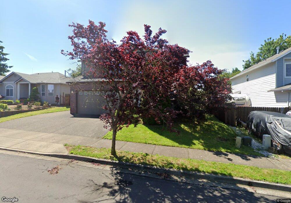
2074 NW 17th St Gresham, OR 97030
Northwest Gresham NeighborhoodEstimated Value: $509,000 - $525,000
3
Beds
3
Baths
2,021
Sq Ft
$256/Sq Ft
Est. Value
About This Home
This home is located at 2074 NW 17th St, Gresham, OR 97030 and is currently estimated at $516,685, approximately $255 per square foot. 2074 NW 17th St is a home located in Multnomah County with nearby schools including North Gresham Elementary School, Clear Creek Middle School, and Gresham High School.
Ownership History
Date
Name
Owned For
Owner Type
Purchase Details
Closed on
Jun 26, 2020
Sold by
Holland Aimee L and Brien Aimee O
Bought by
Holland Michael B and Holland Aimee L
Current Estimated Value
Home Financials for this Owner
Home Financials are based on the most recent Mortgage that was taken out on this home.
Original Mortgage
$249,000
Outstanding Balance
$220,231
Interest Rate
3.2%
Mortgage Type
New Conventional
Estimated Equity
$296,454
Purchase Details
Closed on
May 22, 2003
Sold by
Dolphin Properties Inc
Bought by
Obrien Aimee Lyn
Home Financials for this Owner
Home Financials are based on the most recent Mortgage that was taken out on this home.
Original Mortgage
$211,785
Interest Rate
5.77%
Mortgage Type
Purchase Money Mortgage
Purchase Details
Closed on
Apr 30, 2002
Sold by
Oakridge Estates Development Corp
Bought by
Dolphin Properties Inc
Create a Home Valuation Report for This Property
The Home Valuation Report is an in-depth analysis detailing your home's value as well as a comparison with similar homes in the area
Home Values in the Area
Average Home Value in this Area
Purchase History
| Date | Buyer | Sale Price | Title Company |
|---|---|---|---|
| Holland Michael B | -- | First American | |
| Obrien Aimee Lyn | $222,932 | Ticor Title Insurance Compan | |
| Dolphin Properties Inc | $54,950 | Pacific Nw Title |
Source: Public Records
Mortgage History
| Date | Status | Borrower | Loan Amount |
|---|---|---|---|
| Open | Holland Michael B | $249,000 | |
| Closed | Obrien Aimee Lyn | $211,785 |
Source: Public Records
Tax History
| Year | Tax Paid | Tax Assessment Tax Assessment Total Assessment is a certain percentage of the fair market value that is determined by local assessors to be the total taxable value of land and additions on the property. | Land | Improvement |
|---|---|---|---|---|
| 2025 | $5,870 | $288,470 | -- | -- |
| 2024 | $5,619 | $280,070 | -- | -- |
| 2023 | $5,120 | $271,920 | $0 | $0 |
| 2022 | $4,976 | $264,000 | $0 | $0 |
| 2021 | $4,851 | $256,320 | $0 | $0 |
| 2020 | $4,565 | $248,860 | $0 | $0 |
| 2019 | $4,445 | $241,620 | $0 | $0 |
| 2018 | $4,239 | $234,590 | $0 | $0 |
| 2017 | $4,067 | $227,760 | $0 | $0 |
| 2016 | $3,585 | $221,130 | $0 | $0 |
Source: Public Records
Map
Nearby Homes
- 1861 NW Wonderview Ave
- 1811 NW 19th St
- 1387 NW Riverview Ave Unit 14B
- 70 NW Birdsdale Ave
- 2013 NW Bella Vista Dr
- 21033 SE Clay Ct
- 970 NW Wonderview Ct Unit 980
- 1745 NW 7th Place
- 765 NW Angeline Ave
- 1325 NW 9th St
- 1026 SE 209th Ave
- 994 NW Wallula Ave
- 21001 SE Yamhill St
- 0 SE Burnside St
- 2095 NW 3rd St
- 805 SE 197th Ave
- 19776 SE Stark St Unit 147
- 21016 SE Stark St Unit 71
- 21016 SE Stark St Unit 69
- 920 SE 214th Ave
- 2058 NW 17th St
- 2092 NW 17th St
- 2011 NW 16th St
- 2001 NW 16th St
- 2025 NW 16th St
- 2012 NW 17th St
- 2096 NW 17th St
- 1704 NW Wonderview Ave
- 2057 NW 17th St
- 2039 NW 16th St
- 1933 NW 16th St
- 1722 NW Wonderview Ave
- 1988 NW 17th St
- 2013 NW 17th St
- 1666 NW Wonderview Ave
- 1740 NW Wonderview Ave
- 1624 NW Wonderview Ave
- 1748 NW Wonderview Ave
- 1987 NW 17th St
- 1921 NW 16th St
Your Personal Tour Guide
Ask me questions while you tour the home.