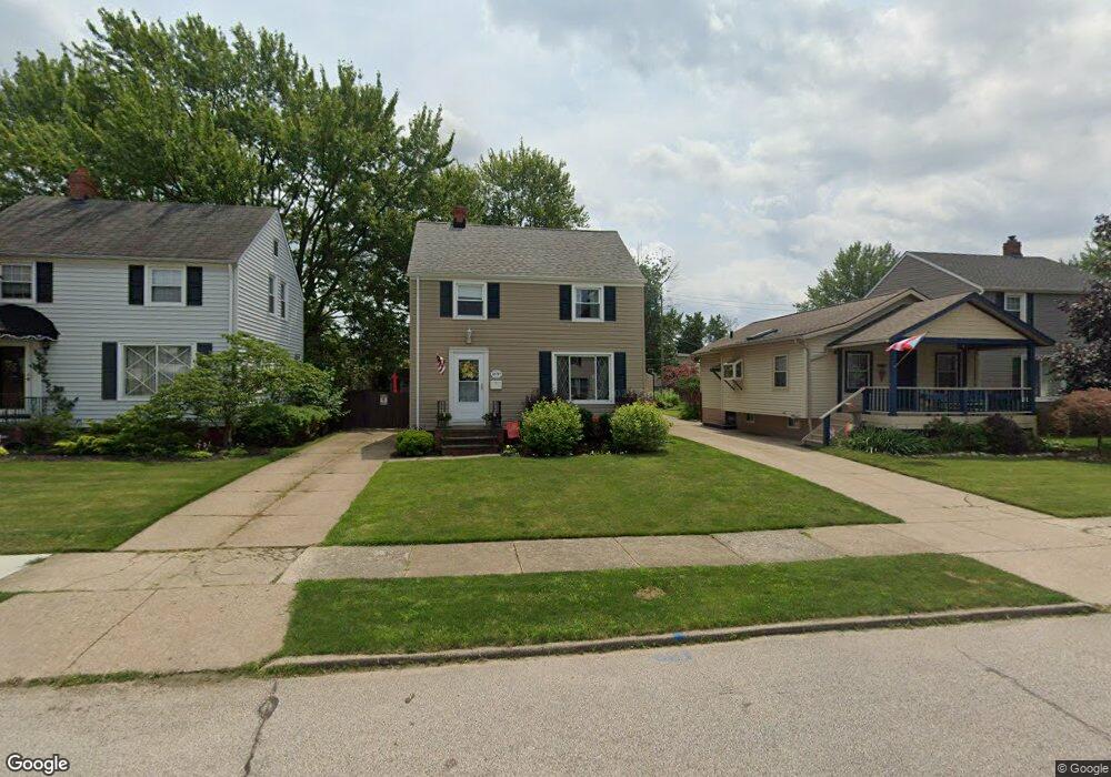
20747 Stanford Ave Cleveland, OH 44126
Estimated Value: $221,000 - $293,000
3
Beds
1
Bath
1,248
Sq Ft
$212/Sq Ft
Est. Value
About This Home
This home is located at 20747 Stanford Ave, Cleveland, OH 44126 and is currently estimated at $264,781, approximately $212 per square foot. 20747 Stanford Ave is a home located in Cuyahoga County with nearby schools including Gilles-Sweet Elementary School, Lewis F Mayer Middle School, and Fairview High School.
Ownership History
Date
Name
Owned For
Owner Type
Purchase Details
Closed on
Jul 22, 1999
Sold by
Riccardi Martha Harbaugh and Harbaugh Thomas Edward
Bought by
Ashdown Todd A
Current Estimated Value
Home Financials for this Owner
Home Financials are based on the most recent Mortgage that was taken out on this home.
Original Mortgage
$94,300
Outstanding Balance
$26,373
Interest Rate
7.54%
Estimated Equity
$238,408
Purchase Details
Closed on
Nov 4, 1992
Sold by
Harbaugh Virginia Ann
Bought by
Riccardi Martha Harbaugh 33%
Purchase Details
Closed on
Sep 2, 1992
Sold by
Harbaugh Virginia E
Bought by
Harbaugh Virginia Ann
Purchase Details
Closed on
Nov 19, 1976
Sold by
Morrison Donald R and Morrison Mary I
Bought by
Harbaugh Virginia E
Purchase Details
Closed on
Jan 1, 1975
Bought by
Morrison Donald R and Morrison Mary I
Create a Home Valuation Report for This Property
The Home Valuation Report is an in-depth analysis detailing your home's value as well as a comparison with similar homes in the area
Home Values in the Area
Average Home Value in this Area
Purchase History
| Date | Buyer | Sale Price | Title Company |
|---|---|---|---|
| Ashdown Todd A | $111,000 | City Title Company Agency In | |
| Riccardi Martha Harbaugh 33% | -- | -- | |
| Harbaugh Virginia Ann | -- | -- | |
| Harbaugh Virginia E | $43,000 | -- | |
| Morrison Donald R | -- | -- |
Source: Public Records
Mortgage History
| Date | Status | Borrower | Loan Amount |
|---|---|---|---|
| Open | Ashdown Todd A | $94,300 |
Source: Public Records
Tax History Compared to Growth
Tax History
| Year | Tax Paid | Tax Assessment Tax Assessment Total Assessment is a certain percentage of the fair market value that is determined by local assessors to be the total taxable value of land and additions on the property. | Land | Improvement |
|---|---|---|---|---|
| 2024 | $5,535 | $78,680 | $11,795 | $66,885 |
| 2023 | $4,506 | $54,540 | $10,540 | $44,000 |
| 2022 | $4,396 | $54,530 | $10,540 | $44,000 |
| 2021 | $4,487 | $54,530 | $10,540 | $44,000 |
| 2020 | $4,129 | $44,000 | $8,510 | $35,490 |
| 2019 | $3,683 | $125,700 | $24,300 | $101,400 |
| 2018 | $3,690 | $44,000 | $8,510 | $35,490 |
| 2017 | $3,618 | $39,940 | $7,560 | $32,380 |
| 2016 | $3,594 | $39,940 | $7,560 | $32,380 |
| 2015 | $3,399 | $39,940 | $7,560 | $32,380 |
| 2014 | $3,399 | $38,050 | $7,210 | $30,840 |
Source: Public Records
Map
Nearby Homes
- 20778 Woodstock Ave
- 20688 Belvidere Ave
- 3826 W 210th St
- 21236 Northwood Ave
- 21143 Westwood Rd
- 3712 Addington Ct
- 21237 Westwood Rd
- 20187 Grannis Rd
- 4243 W 212th St
- 3420 W 210th St
- 3340 W 210th St
- 3733 River Ln
- 21872 Addington Blvd Unit 15
- 3167 Linden Rd Unit 503
- 3167 Linden Rd Unit 508
- 3167 Linden Rd Unit 103
- 3167 Linden Rd Unit 309
- 4336 W 196th St
- 4291 W 215th St
- 4036 W 219th St
- 20743 Stanford Ave
- 20765 Stanford Ave
- 20737 Stanford Ave
- 20845 Stanford Ave
- 20725 Stanford Ave
- 20754 Woodstock Ave
- 20766 Woodstock Ave
- 20746 Woodstock Ave
- 20734 Woodstock Ave
- 20853 Stanford Ave
- 20717 Stanford Ave
- 20844 Woodstock Ave
- 20730 Woodstock Ave
- 20746 Stanford Ave
- 20756 Stanford Ave
- 20742 Stanford Ave
- 20764 Stanford Ave
- 20734 Stanford Ave
- 20861 Stanford Ave
- 20856 Woodstock Ave