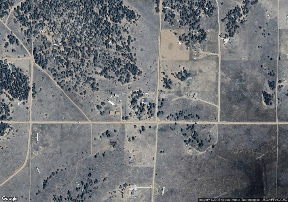
2075 L Path Cotopaxi, CO 81223
Estimated Value: $211,858 - $375,000
3
Beds
2
Baths
1,188
Sq Ft
$228/Sq Ft
Est. Value
About This Home
This home is located at 2075 L Path, Cotopaxi, CO 81223 and is currently estimated at $270,965, approximately $228 per square foot. 2075 L Path is a home located in Fremont County with nearby schools including Cotopaxi Elementary School and Cotopaxi Junior/Senior High School.
Ownership History
Date
Name
Owned For
Owner Type
Purchase Details
Closed on
Aug 5, 2022
Sold by
Borden Helen M
Bought by
Emerson Justin Uriah
Current Estimated Value
Home Financials for this Owner
Home Financials are based on the most recent Mortgage that was taken out on this home.
Original Mortgage
$203,957
Outstanding Balance
$195,449
Interest Rate
5.81%
Mortgage Type
FHA
Estimated Equity
$75,517
Purchase Details
Closed on
Dec 26, 2006
Sold by
Little Bear Llc
Bought by
Borden Helen M
Purchase Details
Closed on
Nov 21, 2006
Sold by
Kidder Robert T and Kidder Doris A
Bought by
Little Bear Llc
Create a Home Valuation Report for This Property
The Home Valuation Report is an in-depth analysis detailing your home's value as well as a comparison with similar homes in the area
Purchase History
| Date | Buyer | Sale Price | Title Company |
|---|---|---|---|
| Emerson Justin Uriah | $211,000 | None Listed On Document | |
| Borden Helen M | $12,900 | None Available | |
| Little Bear Llc | $600,000 | None Available |
Source: Public Records
Mortgage History
| Date | Status | Borrower | Loan Amount |
|---|---|---|---|
| Open | Emerson Justin Uriah | $203,957 |
Source: Public Records
Tax History
| Year | Tax Paid | Tax Assessment Tax Assessment Total Assessment is a certain percentage of the fair market value that is determined by local assessors to be the total taxable value of land and additions on the property. | Land | Improvement |
|---|---|---|---|---|
| 2024 | $693 | $14,490 | $0 | $0 |
| 2023 | $503 | $10,373 | $0 | $0 |
| 2022 | $415 | $8,945 | $0 | $0 |
| 2021 | $418 | $9,203 | $0 | $0 |
| 2020 | $338 | $7,577 | $0 | $0 |
| 2019 | $337 | $7,577 | $0 | $0 |
| 2018 | $294 | $6,595 | $0 | $0 |
| 2017 | $295 | $6,595 | $0 | $0 |
| 2016 | $269 | $6,030 | $0 | $0 |
| 2015 | $268 | $6,030 | $0 | $0 |
| 2012 | $260 | $6,336 | $478 | $5,858 |
Source: Public Records
Map
Nearby Homes
- 2176 L Path
- 0 21st Trail Unit REC1871091
- xx 22nd Trail
- 000 K Path
- 739 17th Trail
- TBD 24th Trail
- 2576 L Path
- TBD 25th Trail
- 2125 J Path
- 1839 15th Trail
- 863 15th Trail
- 1971 County Road 27a
- TBD County Road 27a
- 1739 17th Trail
- 177 County Road 27a
- 2825 K Path
- 2225 P Path
- 0 27th Trail
- TBD 27th Trail
- TBD 12th Trail
- 2025 L Path
- NA Tbd
- 1187 22nd Trail
- 1162 21st Trail
- 0 21st Trail Unit 7241602
- 0 21st Trail Unit 2514297
- 0 21st Trail Unit 5198864
- 1139 22nd Trail
- 1262 21st Trail
- 1112 21st Trail
- 0 Tbd M Path Unit 1240550
- 0 Tbd M Path Unit 2127165
- 3425 L Path
- 1212 19th Trail
- 1288 21st Trail
- 0 22nd Trail
- 1863 22nd Trail
- TBD 22nd Trail
- 1163 23rd Trail
- 1138 19th Trail
