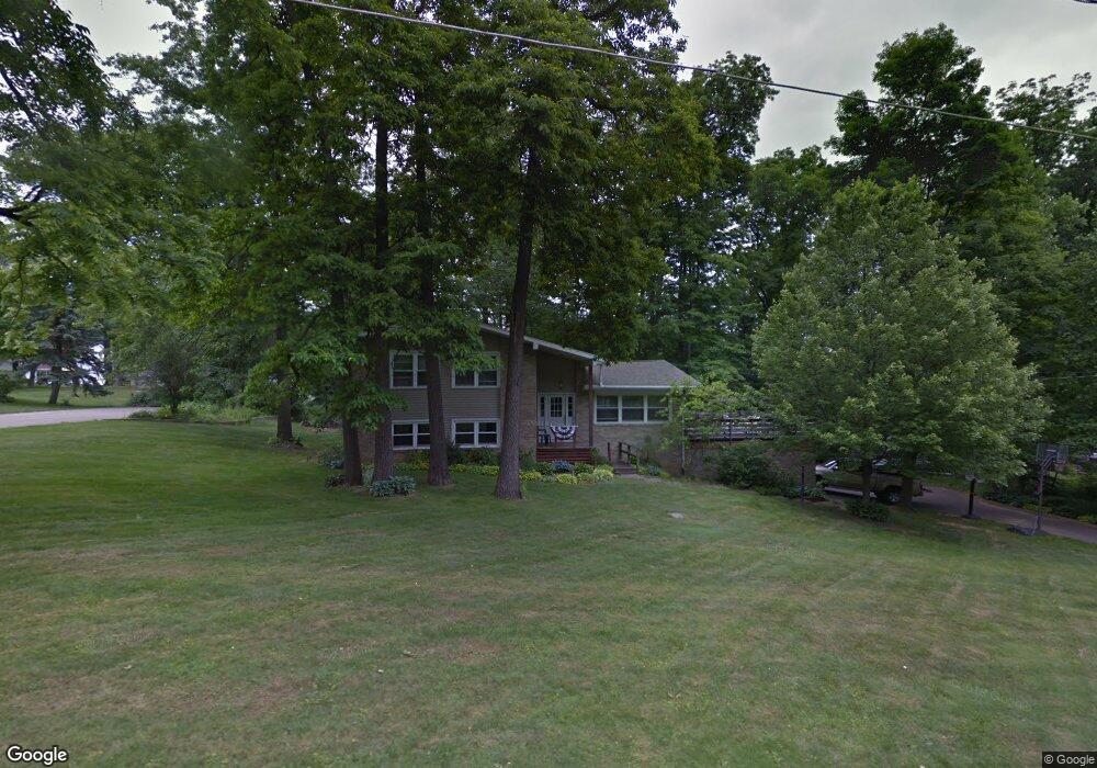
2075 Random Dr Mansfield, OH 44904
Estimated Value: $291,000 - $341,000
4
Beds
3
Baths
2,592
Sq Ft
$123/Sq Ft
Est. Value
About This Home
This home is located at 2075 Random Dr, Mansfield, OH 44904 and is currently estimated at $318,406, approximately $122 per square foot. 2075 Random Dr is a home located in Richland County with nearby schools including Lexington High School, Mansfield Christian School, and Mansfield Seventh-day Adventist School.
Ownership History
Date
Name
Owned For
Owner Type
Purchase Details
Closed on
Apr 17, 2002
Sold by
Townsend Robert C
Bought by
Cyphers Michael L and Cyphers Barbara R
Current Estimated Value
Home Financials for this Owner
Home Financials are based on the most recent Mortgage that was taken out on this home.
Original Mortgage
$117,300
Outstanding Balance
$49,043
Interest Rate
6.93%
Mortgage Type
VA
Estimated Equity
$269,363
Create a Home Valuation Report for This Property
The Home Valuation Report is an in-depth analysis detailing your home's value as well as a comparison with similar homes in the area
Home Values in the Area
Average Home Value in this Area
Purchase History
| Date | Buyer | Sale Price | Title Company |
|---|---|---|---|
| Cyphers Michael L | $115,000 | -- |
Source: Public Records
Mortgage History
| Date | Status | Borrower | Loan Amount |
|---|---|---|---|
| Open | Cyphers Michael L | $117,300 |
Source: Public Records
Tax History
| Year | Tax Paid | Tax Assessment Tax Assessment Total Assessment is a certain percentage of the fair market value that is determined by local assessors to be the total taxable value of land and additions on the property. | Land | Improvement |
|---|---|---|---|---|
| 2024 | $4,493 | $86,840 | $10,380 | $76,460 |
| 2023 | $4,592 | $86,840 | $10,380 | $76,460 |
| 2022 | $4,096 | $65,240 | $8,910 | $56,330 |
| 2021 | $4,155 | $65,240 | $8,910 | $56,330 |
| 2020 | $3,942 | $65,240 | $8,910 | $56,330 |
| 2019 | $3,603 | $54,690 | $7,470 | $47,220 |
| 2018 | $3,098 | $54,690 | $7,470 | $47,220 |
| 2017 | $3,065 | $54,690 | $7,470 | $47,220 |
| 2016 | $2,679 | $46,590 | $6,360 | $40,230 |
| 2015 | $2,584 | $46,590 | $6,360 | $40,230 |
| 2014 | $2,584 | $46,590 | $6,360 | $40,230 |
| 2012 | $1,258 | $48,030 | $6,550 | $41,480 |
Source: Public Records
Map
Nearby Homes
- 633 Princeton Ct
- 515 W Hanley Rd
- 2226 Camden Ct
- 1938 Richwood Dr
- 615 Bailey Dr
- 635 Karlson Dr
- 1759 Rocky Rill Ct
- 763 York St W
- 1702 Middle Bellville Rd
- 0 Rippling Brook Dr
- 872 Red Oak Trail Unit 3
- 893 Greenfield Dr
- 1599 S Main St
- 0 Lot #23132 Hess Cir
- 0 Lot #23127 Hess Cir
- 0 Lot #23139 Hess Cir
- 0 Lot #23121 Hess Cir
- 0 Lot #23133 Hess Cir
- 50 Lilac Ct E
- 1485 Overdale Dr
- 2091 Random Dr
- 2055 Random St
- 1980 Ranchwood Dr
- 2074 Random Dr
- 2084 Random Dr
- 1964 Ranchwood Dr
- 2099 Random Dr
- 1988 Ranchwood Dr
- 2056 Random Dr
- 2094 Random Dr
- 2000 Ranchwood Dr
- 2050 Ranchwood Dr
- 2045 Random Dr
- 522 Bennington Dr
- 568 Orchard Dr E
- 577 Orchard Dr E
- 2044 Random Dr
- 528 Bennington Dr
- 528 Bennington Dr
- 2024 Ranchwood Dr
Your Personal Tour Guide
Ask me questions while you tour the home.