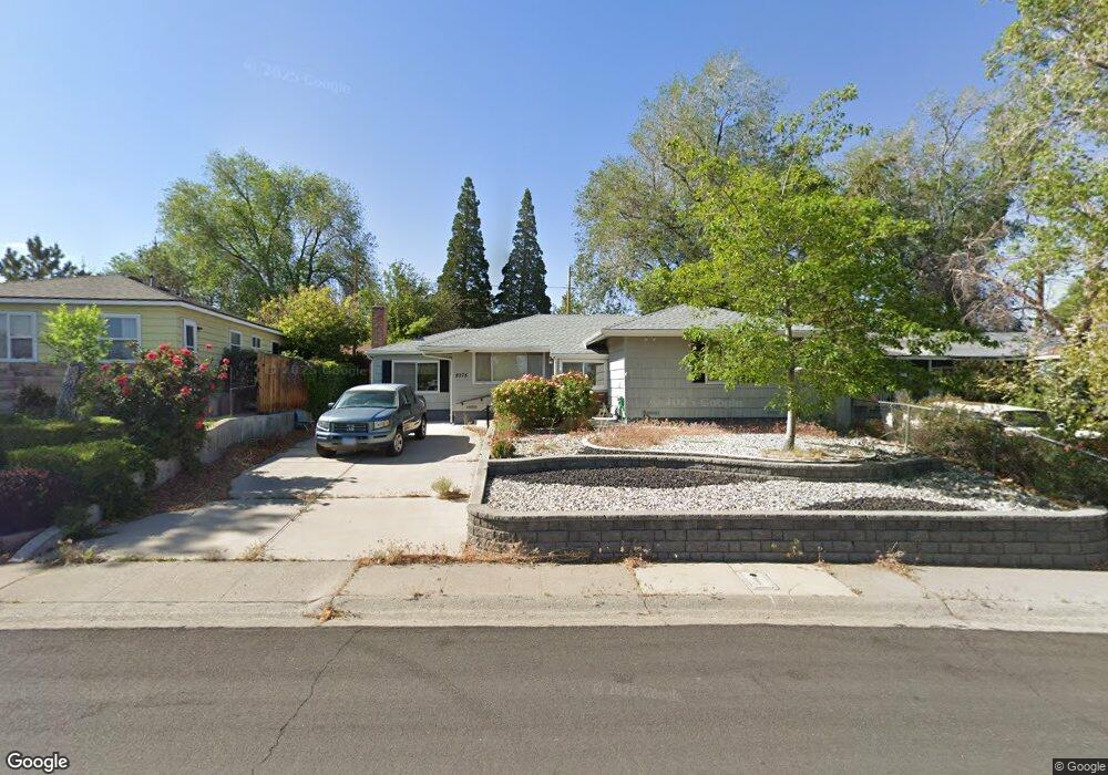
2075 Simpson Ave Reno, NV 89503
Kings Row NeighborhoodEstimated Value: $413,000 - $467,000
3
Beds
1
Bath
1,090
Sq Ft
$407/Sq Ft
Est. Value
About This Home
This home is located at 2075 Simpson Ave, Reno, NV 89503 and is currently estimated at $443,925, approximately $407 per square foot. 2075 Simpson Ave is a home located in Washoe County with nearby schools including Peavine Elementary School, Archie Clayton Pre-AP Academy, and Reno High School.
Ownership History
Date
Name
Owned For
Owner Type
Purchase Details
Closed on
Jul 30, 2021
Sold by
Smith Carolyn L and Smith Michael R
Bought by
Smith Carolyn L and Smith Anthony
Current Estimated Value
Home Financials for this Owner
Home Financials are based on the most recent Mortgage that was taken out on this home.
Original Mortgage
$140,000
Outstanding Balance
$126,677
Interest Rate
3%
Mortgage Type
New Conventional
Estimated Equity
$317,248
Purchase Details
Closed on
Apr 21, 1998
Sold by
Hunt James D and Hunt Donna C
Bought by
Smith Michael R and Smith Carolyn L
Home Financials for this Owner
Home Financials are based on the most recent Mortgage that was taken out on this home.
Original Mortgage
$93,000
Interest Rate
7.15%
Create a Home Valuation Report for This Property
The Home Valuation Report is an in-depth analysis detailing your home's value as well as a comparison with similar homes in the area
Home Values in the Area
Average Home Value in this Area
Purchase History
| Date | Buyer | Sale Price | Title Company |
|---|---|---|---|
| Smith Carolyn L | -- | Accommodation | |
| Smith Michael R | $130,000 | First American Title Co |
Source: Public Records
Mortgage History
| Date | Status | Borrower | Loan Amount |
|---|---|---|---|
| Open | Smith Carolyn L | $140,000 | |
| Closed | Smith Michael R | $93,000 |
Source: Public Records
Tax History
| Year | Tax Paid | Tax Assessment Tax Assessment Total Assessment is a certain percentage of the fair market value that is determined by local assessors to be the total taxable value of land and additions on the property. | Land | Improvement |
|---|---|---|---|---|
| 2026 | $639 | $58,562 | $40,285 | $18,277 |
| 2024 | $831 | $55,475 | $37,485 | $17,990 |
| 2023 | $774 | $54,962 | $39,200 | $15,762 |
| 2022 | $752 | $44,287 | $31,500 | $12,787 |
| 2021 | $730 | $33,588 | $21,245 | $12,343 |
| 2020 | $707 | $32,260 | $19,985 | $12,275 |
| 2019 | $687 | $31,902 | $20,300 | $11,602 |
| 2018 | $668 | $25,575 | $14,455 | $11,120 |
| 2017 | $648 | $24,023 | $12,915 | $11,108 |
| 2016 | $632 | $22,470 | $11,340 | $11,130 |
| 2015 | $631 | $20,489 | $9,625 | $10,864 |
| 2014 | $613 | $18,842 | $8,575 | $10,267 |
| 2013 | -- | $16,140 | $6,125 | $10,015 |
Source: Public Records
Map
Nearby Homes
- 2050 Lassen Dr
- 2295 Ellendale Rd
- 2050 Ives Ave
- 1540 O Farrell St
- 1620 Harold Dr
- 1695 Severn Dr
- 2645 Emily St
- 840 Brookfield Dr
- 2801 Kings Row
- 971 Melba Dr
- 880 Ruby Ave
- 1495 Doric Dr
- 1470 Marne Dr
- 3160 Sky Country Dr
- 3020 Kings Row
- 1045 Hartford Ct
- 3221 Platte River Dr
- 3085 Kings Row
- 407 Imperial Blvd
- 3235 Bryan St
- 2095 Simpson Ave
- 2055 Simpson Ave
- 2070 Lassen Dr
- 2025 Simpson Ave
- 2040 Lassen Dr
- 2090 Lassen Dr
- 2085 Ellendale Rd
- 2020 Lassen Dr
- 2020 Simpson Ave
- 2340 Keystone Ave
- 2002 Lassen Dr
- 2350 Keystone Ave
- 2002 Simpson Ave
- 2075 Ellendale Rd
- 1985 Simpson Ave
- 1980 Lassen Dr
- 2045 Lassen Dr
- 2065 Lassen Dr
- 2025 Ellendale Rd
- 2035 Lassen Dr
Your Personal Tour Guide
Ask me questions while you tour the home.