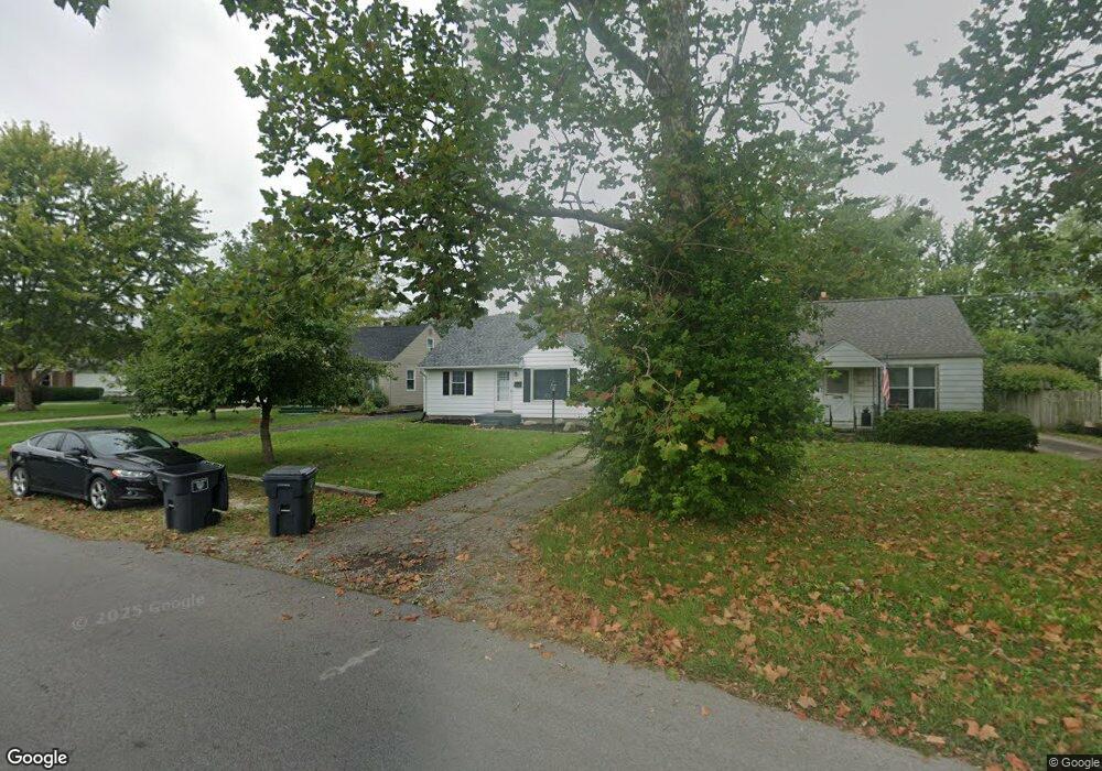
2076 W Wayne St Lima, OH 45805
Westgate NeighborhoodEstimated Value: $118,000
3
Beds
1
Bath
1,327
Sq Ft
$89/Sq Ft
Est. Value
About This Home
Property Id: 1319119
For Rent *$1,350 security deposit plus First and Last Months rent due at signing*
3 Bedrooms
2 Bathrooms
Central Air
1327 Sq. Ft.
Updated Flooring
All New Kitchen with New Countertops & Cabinets
Nice Addition in Rear with Dining Room, Bathroom & Bedroom
Nice Basement
1-Car Garage
Ownership History
Date
Name
Owned For
Owner Type
Purchase Details
Closed on
Dec 14, 2017
Sold by
Albertson Debra K
Bought by
Vision 3 Investments Llc
Current Estimated Value
Purchase Details
Closed on
Dec 20, 2012
Sold by
Estate Of Thomas Bryon Albertson and Albertson Thomas B
Bought by
Albertson Debra K
Purchase Details
Closed on
Jun 30, 2006
Sold by
Powers Christine
Bought by
Albertson Thomas B and Albertson Debra K
Purchase Details
Closed on
May 7, 1993
Sold by
Powers Robert
Bought by
Powers Nondas L
Purchase Details
Closed on
Jan 1, 1990
Bought by
Powers Robert
Create a Home Valuation Report for This Property
The Home Valuation Report is an in-depth analysis detailing your home's value as well as a comparison with similar homes in the area
Home Values in the Area
Average Home Value in this Area
Purchase History
| Date | Buyer | Sale Price | Title Company |
|---|---|---|---|
| Vision 3 Investments Llc | $31,500 | None Available | |
| Albertson Debra K | -- | None Available | |
| Albertson Thomas B | $70,000 | None Available | |
| Powers Nondas L | -- | -- | |
| Powers Robert | -- | -- |
Source: Public Records
Property History
| Date | Event | Price | List to Sale | Price per Sq Ft |
|---|---|---|---|---|
| 12/27/2024 12/27/24 | Off Market | $1,350 | -- | -- |
| 11/25/2024 11/25/24 | For Rent | $1,350 | -- | -- |
Tax History
| Year | Tax Paid | Tax Assessment Tax Assessment Total Assessment is a certain percentage of the fair market value that is determined by local assessors to be the total taxable value of land and additions on the property. | Land | Improvement |
|---|---|---|---|---|
| 2023 | $1,139 | $26,430 | $3,430 | $23,000 |
| 2022 | $1,145 | $26,430 | $3,430 | $23,000 |
| 2021 | $1,211 | $26,430 | $3,430 | $23,000 |
| 2020 | $1,199 | $23,210 | $3,290 | $19,920 |
| 2019 | $1,199 | $23,210 | $3,290 | $19,920 |
| 2018 | $1,182 | $23,210 | $3,290 | $19,920 |
| 2017 | $630 | $20,480 | $3,290 | $17,190 |
| 2016 | $634 | $20,480 | $3,290 | $17,190 |
| 2015 | $599 | $20,480 | $3,290 | $17,190 |
| 2014 | $599 | $19,710 | $3,260 | $16,450 |
| 2013 | $586 | $19,710 | $3,260 | $16,450 |
Source: Public Records
Map
Nearby Homes
- 275 N Dale Dr
- 1918 Oakland Pkwy
- 705 Cornell Dr
- 1716 Oakland Pkwy
- 1753 Leland Ave
- 161 S Cable Rd
- 3 Poulston Place
- 1607 W Wayne St
- 1817 Hillcrest Dr
- 541 N Nixon Ave
- 1541 Oakland Pkwy
- 910 N Dale Dr
- 1834 Latham Ave
- 1605 Hazel Ave
- 1600 Leland Ave
- 1517 Allentown Rd
- 926 Crestwood Dr
- 1440 W Market St
- 1508 Oakland Pkwy
- 1880 Wendell Ave
Your Personal Tour Guide
Ask me questions while you tour the home.