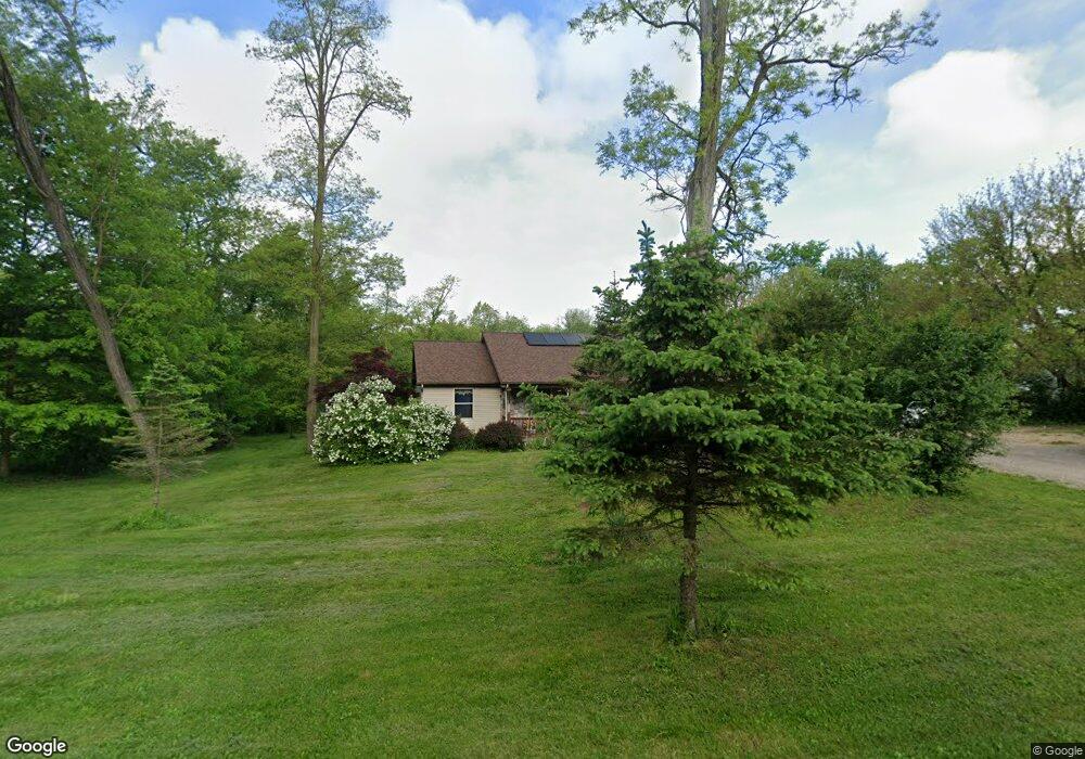
20761 N Uldriks Dr Battle Creek, MI 49017
Estimated Value: $327,000 - $399,000
3
Beds
2
Baths
1,456
Sq Ft
$246/Sq Ft
Est. Value
About This Home
This home is located at 20761 N Uldriks Dr, Battle Creek, MI 49017 and is currently estimated at $358,020, approximately $245 per square foot. 20761 N Uldriks Dr is a home located in Calhoun County with nearby schools including LaMora Park School, Northwestern Middle School, and Battle Creek Central High School.
Ownership History
Date
Name
Owned For
Owner Type
Purchase Details
Closed on
May 10, 2017
Sold by
Millous Sherry and Millious Sherry L
Bought by
The Millous Revocable Living Trust
Current Estimated Value
Purchase Details
Closed on
Nov 14, 2003
Sold by
Millious Sherry
Bought by
Millious Richard and Millious Sherry
Home Financials for this Owner
Home Financials are based on the most recent Mortgage that was taken out on this home.
Original Mortgage
$102,000
Interest Rate
6.1%
Mortgage Type
New Conventional
Create a Home Valuation Report for This Property
The Home Valuation Report is an in-depth analysis detailing your home's value as well as a comparison with similar homes in the area
Home Values in the Area
Average Home Value in this Area
Purchase History
| Date | Buyer | Sale Price | Title Company |
|---|---|---|---|
| The Millous Revocable Living Trust | -- | Attorney | |
| Millious Richard | -- | Transnation Title Company |
Source: Public Records
Mortgage History
| Date | Status | Borrower | Loan Amount |
|---|---|---|---|
| Previous Owner | Millious Richard | $102,000 |
Source: Public Records
Tax History Compared to Growth
Tax History
| Year | Tax Paid | Tax Assessment Tax Assessment Total Assessment is a certain percentage of the fair market value that is determined by local assessors to be the total taxable value of land and additions on the property. | Land | Improvement |
|---|---|---|---|---|
| 2025 | $2,639 | $175,100 | $0 | $0 |
| 2024 | $1,445 | $153,300 | $0 | $0 |
| 2023 | $2,336 | $142,900 | $0 | $0 |
| 2022 | $1,311 | $133,900 | $0 | $0 |
| 2021 | $2,179 | $108,900 | $0 | $0 |
| 2020 | $2,300 | $100,300 | $0 | $0 |
| 2019 | $2,379 | $94,700 | $0 | $0 |
| 2018 | $2,035 | $84,100 | $19,400 | $64,700 |
| 2017 | $2,035 | $80,800 | $0 | $0 |
| 2016 | $2,035 | $78,900 | $0 | $0 |
| 2015 | -- | $58,400 | $0 | $0 |
| 2014 | -- | $51,400 | $0 | $0 |
Source: Public Records
Map
Nearby Homes
- 275 N Uldriks Dr
- 21026 Dana Dr
- 120 Roxbury Ln
- 1665 W Kirby Rd
- 117 Robin Ave S
- 153 Colonial Dr
- 3600 Michigan Ave W
- 230 Roxbury Ln
- 128 Quail St
- 139 Duane Ave
- 3192 Michigan Ave W
- 7929 N 48th St
- 115 Suwanee St
- 0 Outlot A Suwanee St
- 193 S Finlay Ave
- 235 Oak St
- 21763 Collier Ave
- 111 Virginia Ave
- 144 Maxine Place
- 641 John Bria Rd
- 20773 N Uldriks Dr
- 20725 N Uldriks Dr
- 20785 N Uldriks Dr
- 1042 Hunter Ridge
- 20705 N Uldriks Dr
- 20700 N Uldriks Dr
- 20821 N Uldriks Dr
- 1122 Hunter Ridge
- 20910 N Uldriks Dr
- 10 Hunter Ridge
- 20599 N Uldriks Dr
- 20895 N Uldriks Dr
- 1134 Hunter Ridge
- 20888 N Uldriks Dr
- 1110 W Kirby Rd
- 1185 Hunter Ridge
- 20515 N Uldriks Dr
- 1130 Hunter Ridge
- 20522 N Uldriks Dr
- 1142 Hunter Ridge