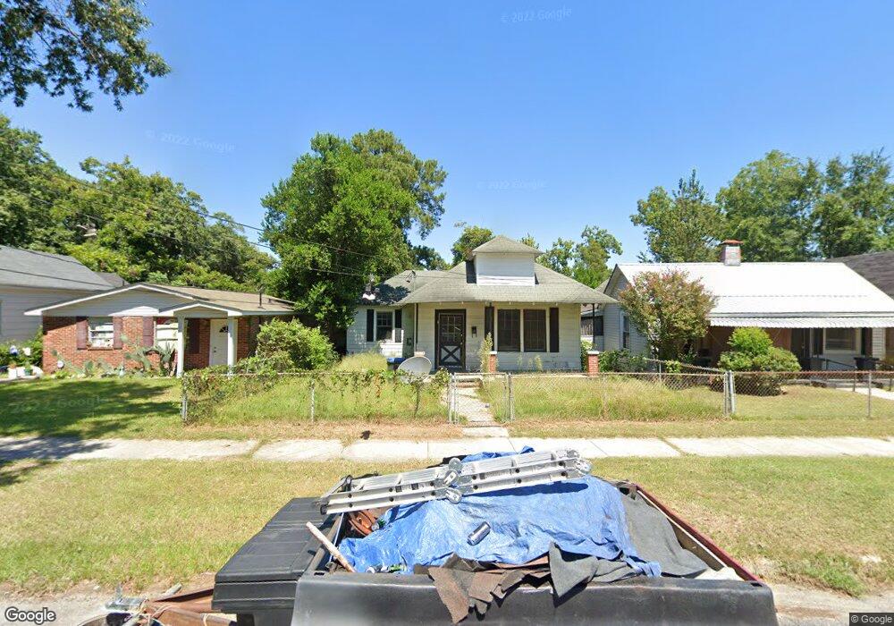
2077 Ellis St Augusta, GA 30904
West End NeighborhoodEstimated Value: $66,686 - $155,000
3
Beds
1
Bath
1,448
Sq Ft
$75/Sq Ft
Est. Value
About This Home
This home is located at 2077 Ellis St, Augusta, GA 30904 and is currently estimated at $108,672, approximately $75 per square foot. 2077 Ellis St is a home located in Richmond County with nearby schools including Lamar Elementary School, W.S. Hornsby K-8 School, and Johnson Magnet.
Ownership History
Date
Name
Owned For
Owner Type
Purchase Details
Closed on
Apr 18, 2023
Sold by
Steinberg Stephen H
Bought by
Shs Augusta Ii Llc
Current Estimated Value
Purchase Details
Closed on
May 8, 2008
Sold by
Steinberg Stephen H
Bought by
Walker William E
Purchase Details
Closed on
May 6, 2008
Sold by
May James L and Flynt John J
Bought by
Steinberg Stephen H
Purchase Details
Closed on
May 5, 1997
Sold by
May Helen Mims
Bought by
May James L
Purchase Details
Closed on
May 1, 1997
Sold by
May Helen Mims
Bought by
May James L
Create a Home Valuation Report for This Property
The Home Valuation Report is an in-depth analysis detailing your home's value as well as a comparison with similar homes in the area
Home Values in the Area
Average Home Value in this Area
Purchase History
| Date | Buyer | Sale Price | Title Company |
|---|---|---|---|
| Shs Augusta Ii Llc | -- | -- | |
| Walker William E | -- | None Available | |
| Steinberg Stephen H | $15,901 | None Available | |
| May James L | -- | -- | |
| May James L | $20,000 | -- |
Source: Public Records
Tax History Compared to Growth
Tax History
| Year | Tax Paid | Tax Assessment Tax Assessment Total Assessment is a certain percentage of the fair market value that is determined by local assessors to be the total taxable value of land and additions on the property. | Land | Improvement |
|---|---|---|---|---|
| 2024 | $892 | $19,820 | $1,958 | $17,862 |
| 2023 | $892 | $26,040 | $1,958 | $24,082 |
| 2022 | $1,009 | $22,826 | $1,958 | $20,868 |
| 2021 | $855 | $14,158 | $1,966 | $12,192 |
| 2020 | $845 | $16,192 | $4,000 | $12,192 |
| 2019 | $884 | $16,192 | $4,000 | $12,192 |
| 2018 | $889 | $16,192 | $4,000 | $12,192 |
| 2017 | $886 | $16,192 | $4,000 | $12,192 |
| 2016 | $886 | $16,192 | $4,000 | $12,192 |
| 2015 | $1,010 | $19,545 | $4,000 | $15,545 |
| 2014 | $1,135 | $19,545 | $4,000 | $15,545 |
Source: Public Records
Map
Nearby Homes
- 2025 Ellis St
- 2021 Ellis St
- 2063 Broad St
- 2048 Edgar St
- 2056 Telfair St
- 2006 Division St
- 1918 Division St Unit 3
- 2156 Telfair St
- 250 Milledge Rd
- 1940 Telfair St
- 2164 Telfair St
- 1913 Ellis St
- 542 Hickman Rd
- 1968 Battle Row
- 1929 Watkins St
- 1916 Battle Row
- 1918 Walker St
- 1916 Walker St
- 608 Eve St
- 1915 Watkins St