2077 Roaring Brook Rd Conway, MA 01341
Estimated Value: $670,000 - $1,073,701
3
Beds
3
Baths
3,191
Sq Ft
$270/Sq Ft
Est. Value
About This Home
This home is located at 2077 Roaring Brook Rd, Conway, MA 01341 and is currently estimated at $860,900, approximately $269 per square foot. 2077 Roaring Brook Rd is a home with nearby schools including Frontier Regional School.
Ownership History
Date
Name
Owned For
Owner Type
Purchase Details
Closed on
Aug 4, 2009
Sold by
Kurkulonis Michael J and Kurkulonis Carol A
Bought by
Kurkulonis Kenneth W and Kurkulonis Jennifer A
Current Estimated Value
Purchase Details
Closed on
Dec 21, 1998
Sold by
Est Ruthkowski Eva M and Recore Exr Jane R
Bought by
Kurkulonis Michael J
Create a Home Valuation Report for This Property
The Home Valuation Report is an in-depth analysis detailing your home's value as well as a comparison with similar homes in the area
Home Values in the Area
Average Home Value in this Area
Purchase History
| Date | Buyer | Sale Price | Title Company |
|---|---|---|---|
| Kurkulonis Kenneth W | -- | -- | |
| Kurkulonis Kenneth W | -- | -- | |
| Kurkulonis Michael J | $85,000 | -- | |
| Kurkulonis Michael J | $85,000 | -- |
Source: Public Records
Mortgage History
| Date | Status | Borrower | Loan Amount |
|---|---|---|---|
| Open | Kurkulonis Michael J | $445,000 | |
| Closed | Kurkulonis Michael J | $395,000 |
Source: Public Records
Tax History
| Year | Tax Paid | Tax Assessment Tax Assessment Total Assessment is a certain percentage of the fair market value that is determined by local assessors to be the total taxable value of land and additions on the property. | Land | Improvement |
|---|---|---|---|---|
| 2025 | $15,257 | $1,056,600 | $149,400 | $907,200 |
| 2024 | $14,419 | $879,200 | $137,400 | $741,800 |
| 2023 | $15,078 | $879,200 | $137,400 | $741,800 |
| 2022 | $14,627 | $814,900 | $129,200 | $685,700 |
| 2021 | $14,666 | $783,000 | $124,200 | $658,800 |
| 2020 | $14,802 | $789,000 | $118,400 | $670,600 |
| 2019 | $14,715 | $789,000 | $118,400 | $670,600 |
| 2018 | $13,775 | $744,600 | $118,400 | $626,200 |
| 2017 | $14,443 | $813,700 | $187,500 | $626,200 |
| 2016 | $13,609 | $815,900 | $141,100 | $674,800 |
| 2015 | $13,193 | $815,900 | $141,100 | $674,800 |
Source: Public Records
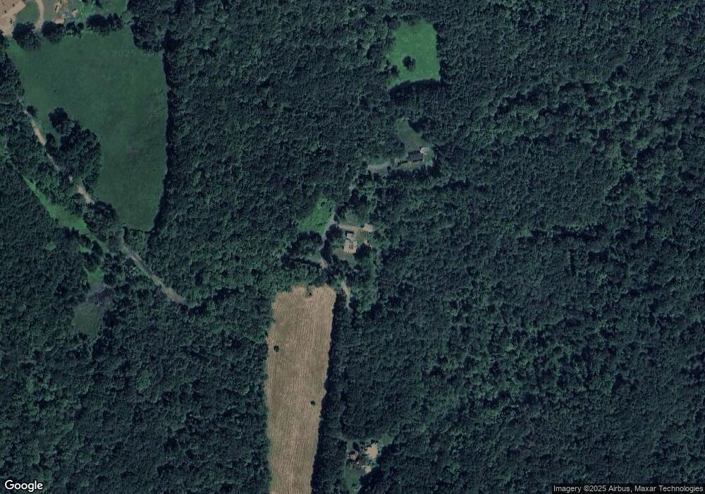
Map
Nearby Homes
- 901 Roaring Brook Rd
- 0 Maple St
- 0 North St Unit 73407299
- 92 Masterson Rd
- 36 Swamp Rd
- 23 S Mill River Rd
- 90 Whately Rd
- 124 Plain Rd
- 0 Greenfield Rd Unit 73472322
- 14 Sugarloaf St
- 151 Ashfield Rd
- 117 N Main St
- 79 State Rd
- 41 Upper Rd
- 0 Pocumtuck Dr Unit 73379330
- 44 Aberdeen Rd
- 0 Old Stage Rd Unit 73494659
- 37 N Farms Rd
- 11 S Chesterfield Rd
- 240 Beldingville Rd
- 2101 Roaring Brook Rd
- 2143 Roaring Brook Rd
- 2031 Roaring Brook Rd
- 2171 Roaring Brook Rd
- 2036 Roaring Brook Rd
- 2098 Roaring Brook Rd
- 2099 Roaring Brook Rd
- 2174 Roaring Brook Rd
- 2041 Roaring Brook Rd
- 1939 Roaring Brook Rd
- 1940 Roaring Brook Rd
- 1419 Whately Rd
- 1408 Whately Rd
- 1733 Roaring Brook Rd
- 1350 Whately Rd
- 1326 Whately Rd
- 1700 Roaring Brook Rd
- 95 S Part Rd
- 1310 Whately Rd
- 138 S Part Rd
Your Personal Tour Guide
Ask me questions while you tour the home.