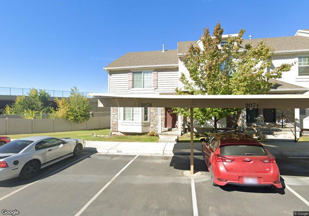
2078 W 1100 N Provo, UT 84604
Rivergrove NeighborhoodEstimated Value: $397,000 - $401,229
3
Beds
3
Baths
2,153
Sq Ft
$186/Sq Ft
Est. Value
About This Home
This home is located at 2078 W 1100 N, Provo, UT 84604 and is currently estimated at $399,807, approximately $185 per square foot. 2078 W 1100 N is a home located in Utah County with nearby schools including Westridge Elementary School, Dixon Middle School, and Provo High School.
Ownership History
Date
Name
Owned For
Owner Type
Purchase Details
Closed on
Jun 16, 2021
Sold by
Peterson Steven M and Peterson Jill M
Bought by
Ohana First Legacy Llc
Current Estimated Value
Purchase Details
Closed on
Mar 12, 2021
Sold by
2078 West Provo Llc
Bought by
Peterson Steven M and Peterson Jill M
Purchase Details
Closed on
Aug 16, 2018
Sold by
Harding Teresa
Bought by
2078 West Provo Llc
Purchase Details
Closed on
Apr 27, 2015
Sold by
Georgetown Development Inc
Bought by
Harding Teresa
Home Financials for this Owner
Home Financials are based on the most recent Mortgage that was taken out on this home.
Original Mortgage
$151,120
Interest Rate
3.8%
Mortgage Type
New Conventional
Create a Home Valuation Report for This Property
The Home Valuation Report is an in-depth analysis detailing your home's value as well as a comparison with similar homes in the area
Home Values in the Area
Average Home Value in this Area
Purchase History
| Date | Buyer | Sale Price | Title Company |
|---|---|---|---|
| Ohana First Legacy Llc | -- | None Available | |
| Peterson Steven M | -- | First American | |
| 2078 West Provo Llc | -- | None Available | |
| Harding Teresa | -- | United West Title |
Source: Public Records
Mortgage History
| Date | Status | Borrower | Loan Amount |
|---|---|---|---|
| Previous Owner | Harding Teresa | $151,120 |
Source: Public Records
Tax History Compared to Growth
Tax History
| Year | Tax Paid | Tax Assessment Tax Assessment Total Assessment is a certain percentage of the fair market value that is determined by local assessors to be the total taxable value of land and additions on the property. | Land | Improvement |
|---|---|---|---|---|
| 2025 | $2,075 | $204,545 | $54,700 | $317,200 |
| 2024 | $2,075 | $204,270 | $0 | $0 |
| 2023 | $2,001 | $194,205 | $0 | $0 |
| 2022 | $2,018 | $197,450 | $0 | $0 |
| 2021 | $1,582 | $269,900 | $40,500 | $229,400 |
| 2020 | $1,588 | $254,100 | $38,100 | $216,000 |
| 2019 | $1,503 | $250,000 | $32,500 | $217,500 |
| 2018 | $1,367 | $230,700 | $29,000 | $201,700 |
| 2017 | $1,234 | $114,400 | $0 | $0 |
| 2016 | $1,254 | $108,350 | $0 | $0 |
| 2015 | $823 | $71,885 | $0 | $0 |
| 2014 | $308 | $28,000 | $0 | $0 |
Source: Public Records
Map
Nearby Homes
- 2075 W 1080 N
- 2043 W 1100 N
- 1127 Independence Ave
- 962 Independence Ave
- 927 Independence Ave
- 932 N 1760 W
- 1893 Cascade Dr
- 1620 W 1000 N
- 2397 W 1160 N
- 1503 N 1980 W
- 582 N 2310 W
- 1574 W 1400 N
- 2216 W 480 N
- 2316 W 510 N
- 1616 N 2100 W
- 1475 Arthur Dr Unit 7A
- 1471 W 1460 N
- 392 N 2150 W
- 1682 N 2250 W
- 1679 N 2250 W
- 2074 W 1100 N
- 2070 W 1100 N
- 2066 W 1100 N
- 2062 W 1100 N
- 2075 W 1100 N
- 2079 W 1100 N
- 2071 W 1100 N
- 2067 W 1100 N
- 2067 W 1100 N Unit 2067
- 2054 W 1100 N
- 2059 W 1100 N Unit 124
- 2059 W 1100 N
- 2055 W 1100 N
- 2050 W 1100 N
- 1113 N 1880 W
- 2051 W 1100 N
- 1117 N 1880 W
- 2047 W 1100 N
- 1121 N 1880 W
- 1133 N 1880 W Unit 141