2078 W State Route 350 Wilmington, OH 45177
Estimated Value: $526,740 - $669,000
3
Beds
3
Baths
2,284
Sq Ft
$262/Sq Ft
Est. Value
About This Home
This home is located at 2078 W State Route 350, Wilmington, OH 45177 and is currently estimated at $597,870, approximately $261 per square foot. 2078 W State Route 350 is a home located in Clinton County with nearby schools including Clinton-Massie Elementary School, Clinton-Massie Middle School, and Clinton-Massie High School.
Ownership History
Date
Name
Owned For
Owner Type
Purchase Details
Closed on
Sep 19, 2018
Sold by
Munn Kenneth and Munn Margaret Ann
Bought by
Williams Wright Jeani M and Wright Joan
Current Estimated Value
Home Financials for this Owner
Home Financials are based on the most recent Mortgage that was taken out on this home.
Original Mortgage
$216,000
Interest Rate
4.5%
Mortgage Type
New Conventional
Create a Home Valuation Report for This Property
The Home Valuation Report is an in-depth analysis detailing your home's value as well as a comparison with similar homes in the area
Home Values in the Area
Average Home Value in this Area
Purchase History
| Date | Buyer | Sale Price | Title Company |
|---|---|---|---|
| Williams Wright Jeani M | $270,000 | Republic Title Agency Inc |
Source: Public Records
Mortgage History
| Date | Status | Borrower | Loan Amount |
|---|---|---|---|
| Closed | Williams Wright Jeani M | $216,000 |
Source: Public Records
Tax History Compared to Growth
Tax History
| Year | Tax Paid | Tax Assessment Tax Assessment Total Assessment is a certain percentage of the fair market value that is determined by local assessors to be the total taxable value of land and additions on the property. | Land | Improvement |
|---|---|---|---|---|
| 2024 | $4,336 | $149,040 | $36,790 | $112,250 |
| 2023 | $4,336 | $149,040 | $36,790 | $112,250 |
| 2022 | $4,391 | $135,570 | $24,730 | $110,840 |
| 2021 | $4,394 | $135,570 | $24,730 | $110,840 |
| 2020 | $4,315 | $135,600 | $24,760 | $110,840 |
| 2019 | $3,476 | $110,810 | $25,630 | $85,180 |
| 2018 | $4,430 | $110,810 | $25,630 | $85,180 |
| 2017 | $3,568 | $102,240 | $17,060 | $85,180 |
| 2016 | $3,082 | $86,170 | $23,170 | $63,000 |
| 2015 | $3,081 | $86,170 | $23,170 | $63,000 |
| 2013 | $3,167 | $85,120 | $23,170 | $61,950 |
Source: Public Records
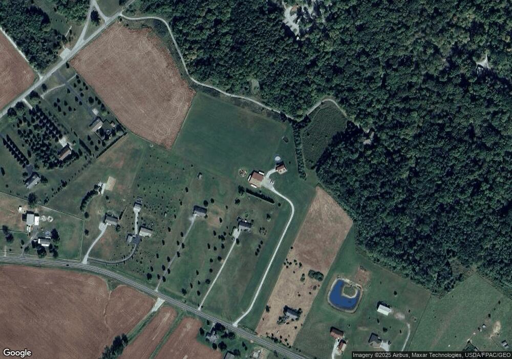
Map
Nearby Homes
- 21 Kimlor Ln
- 1211 Pratt Rd
- 963 Pratt Rd
- 279 Frances Dr
- 6182 Ohio 730
- 6182 State Route 730
- 0 Old State Rd Unit 1849352
- 50 & 62 E State Route 350
- 4347 Ohio 350
- 1623 Reeder Rd
- 9132 St Rt 730
- 9132 State Route 730
- 2211 Reeder Rd
- 1896 Reeder Rd
- 1056 Halpin Rd
- 1903 Ogden Rd
- 450 Pansy Rd
- 216 Pansy Rd
- 945 Lazenby Rd
- 1957 Ohio 730
- 2078 Ohio 350
- 2078 St Rt 350
- 2126 W State Route 350
- 2182 W State Route 350
- 2182 W State Route 350
- 2228 St Rt 350
- 1153 Yankee Rd
- 2228 W State Route 350
- 2234 Ohio 350
- 2054 W State Route 350
- 2270 W State Route 350
- 1277 Yankee Rd
- 1980 W State Route 350
- 1313 Yankee Rd
- 1924 W State Route 350
- 2366 Ohio 350
- 1339 Yankee Rd
- 433 Yankee Rd
- 1816 W State Route 350
- 497 Yankee Rd