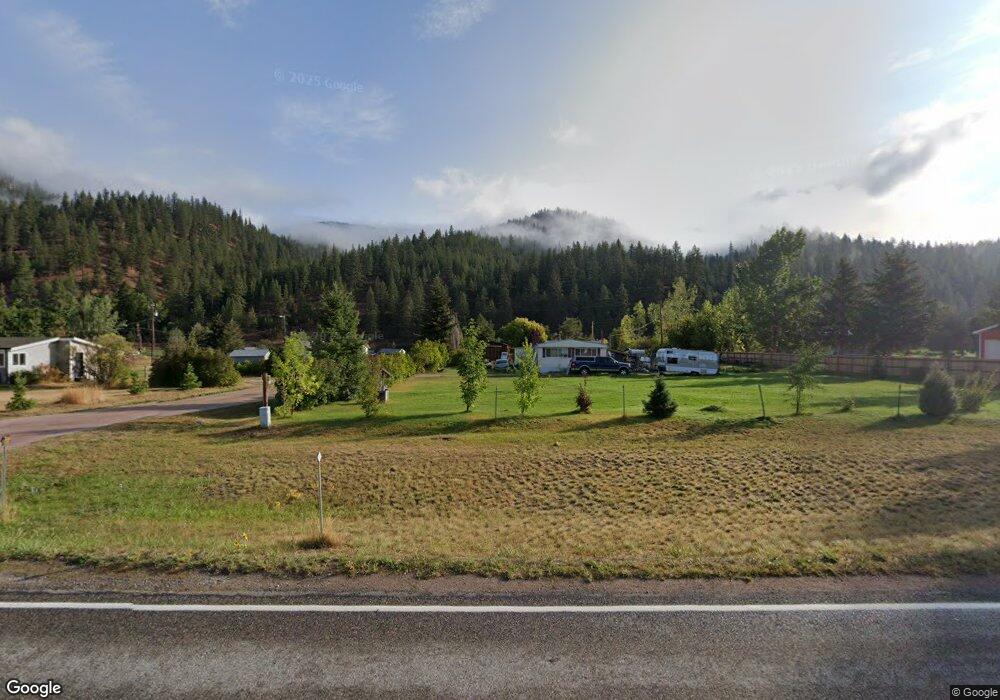
20788 Us Highway 10 E Clinton, MT 59825
Clinton NeighborhoodEstimated Value: $678,000 - $1,322,326
3
Beds
2
Baths
2,579
Sq Ft
$388/Sq Ft
Est. Value
About This Home
This home is located at 20788 Us Highway 10 E, Clinton, MT 59825 and is currently estimated at $1,000,163, approximately $387 per square foot. 20788 Us Highway 10 E is a home located in Missoula County with nearby schools including Clinton Elementary School and Sentinel High School.
Ownership History
Date
Name
Owned For
Owner Type
Purchase Details
Closed on
Aug 26, 2005
Sold by
Free William H and Free Harriet
Bought by
Flaget Deanna M
Current Estimated Value
Home Financials for this Owner
Home Financials are based on the most recent Mortgage that was taken out on this home.
Original Mortgage
$196,563
Interest Rate
5.61%
Mortgage Type
Seller Take Back
Create a Home Valuation Report for This Property
The Home Valuation Report is an in-depth analysis detailing your home's value as well as a comparison with similar homes in the area
Home Values in the Area
Average Home Value in this Area
Purchase History
| Date | Buyer | Sale Price | Title Company |
|---|---|---|---|
| Flaget Deanna M | -- | -- |
Source: Public Records
Mortgage History
| Date | Status | Borrower | Loan Amount |
|---|---|---|---|
| Closed | Flaget Deanna M | $196,563 |
Source: Public Records
Tax History
| Year | Tax Paid | Tax Assessment Tax Assessment Total Assessment is a certain percentage of the fair market value that is determined by local assessors to be the total taxable value of land and additions on the property. | Land | Improvement |
|---|---|---|---|---|
| 2025 | $11,080 | $1,300,177 | $273,747 | $1,026,430 |
| 2024 | $12,550 | $1,110,456 | $183,696 | $926,760 |
| 2023 | $10,741 | $1,110,456 | $183,696 | $926,760 |
| 2022 | $9,434 | $791,268 | $0 | $0 |
| 2021 | $9,227 | $791,268 | $0 | $0 |
| 2020 | $9,359 | $767,944 | $0 | $0 |
| 2019 | $9,309 | $767,944 | $0 | $0 |
| 2018 | $7,794 | $680,623 | $0 | $0 |
| 2017 | $7,852 | $680,623 | $0 | $0 |
| 2016 | $7,951 | $719,241 | $0 | $0 |
| 2015 | $7,427 | $719,241 | $0 | $0 |
| 2014 | $5,343 | $344,837 | $0 | $0 |
Source: Public Records
Map
Nearby Homes
- Lot 13 Pamin Loop
- 11055 Silver St
- NHN Stitt St
- 22225 Wallace Creek Rd
- Lot 15 Muddler Ct
- Lot 16 Stonefly Rd
- Nhn Us Highway 10 E
- Lot 12 Stonefly Rd
- Lot 11 Stonefly Rd
- Lot 17 Caddisfly Ct
- 25575 Patter Spur Rd S
- Lot 9 Stonefly Rd
- 24570 Stonefly Rd
- Lot 2 Caddisfly Ct
- 14297 Caddisfly Ct
- 17755 E Mullan Rd
- Nhn Bonita Ranger Station Rd
- 27235 Lazy Springs Rd
- 30260 Beavertail Rd
- 13505 Turah Rd
- 20810 Us Highway 10 E
- 20760 Us Highway 10 E
- 20740 Us Highway 10 E
- 20853 Bull Basin Rd
- 20890 Us Highway 10 E
- 21351 Pamin Loop
- Lot 09 Pamin Loop
- 21265 Pamin Loop
- Lot 18 Pamin Loop
- Lot 31 Pamin Loop
- 21527 Pamin Loop
- 20785 E Mullan Rd
- 20825 E Mullan Rd
- Lot 8 Pamin Loop
- 21392 Pamin Loop
- 20755 E Mullan Rd
- Nhn Pamin (Lot 31) Loop
- 21215 Pamin Loop
- 21438 Pamin Loop
- Nhn Pamin Loop Unit Lot 30
Your Personal Tour Guide
Ask me questions while you tour the home.